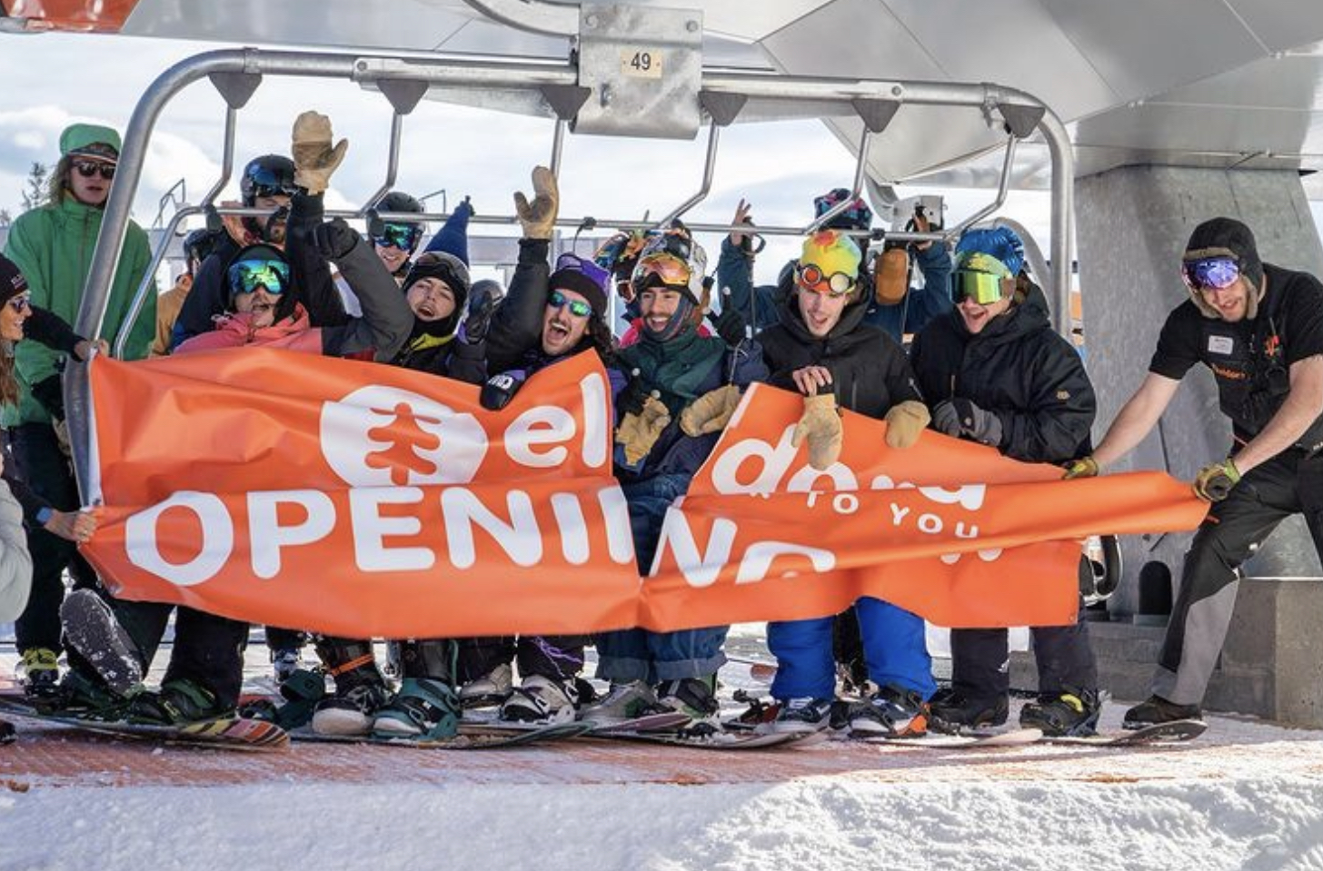
Not much to talk about weather wise, kind of boring. There are a lot of resorts opening this week and next. Here is a list:
| Utah Opening Dates | CO Opening Dates | PNW Opening dates | |||||
| Alta | 24-Nov | Copper | 22-Nov | Crystal | 26-Nov | ||
| Deer Valley | 4-Dec | Beaver creek | 24-Nov | Stevens | 3-Dec | ||
| Eagle Point | 17-Dec | Crested Butte nov 24 | 24-Nov | Mt Baker | 25-Nov | ||
| Park City | 26-Nov | Aspen | 25-Nov | Mt Hood | 29-Nov | ||
| Snow Bird | 10-Dec | Snowmass | 25-Nov | Mt Bachelor | 3-Dec | ||
| Telluride | 25-Nov | ||||||
| Aspen Highlands | 11-Dec | ||||||
Short Range Forecast
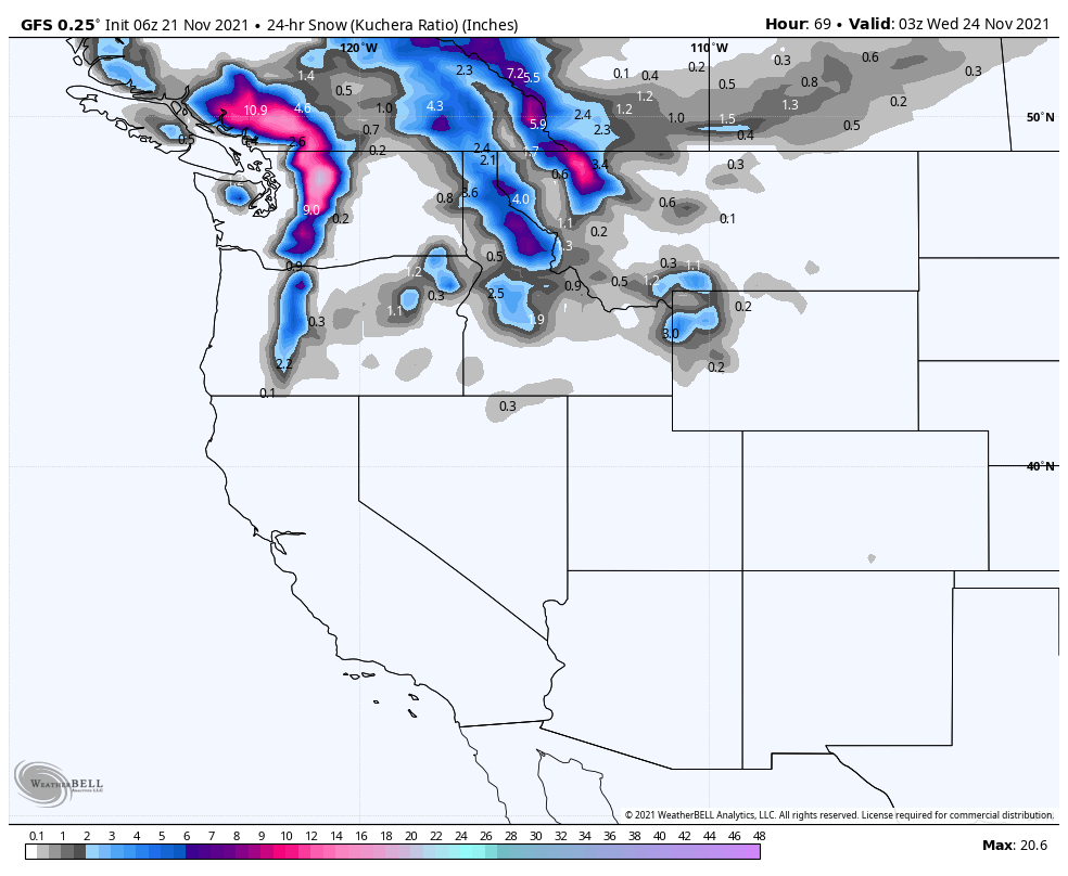
The present storm will be entering the west coast, near Whistler, during the overnight hours Sunday. Moving southeast it will arrive during the afternoon to Washington mountains, then Oregon during the overnight. Freezing levels during the daytime hours remain high, but as precipitation picks up, it will lower close to the valley floor. Strom totals for the aforementioned areas should be around 4-6 for the Canadian mountains, 6-10 for Washington and 1-3 for Oregon.
Thanks for reading, enjoy your Sunday! Mike
