
Summary
Welcome to cycle 6. This is the end of the 21-22 pattern, which had its moments, such as the atmospheric river events in California, Oregon and Washington. Above average snowfall for parts of the Pacific Northwest, mediocre precipitation for the Rockies, and poor snowfall for the Sierra. A new pattern is developing and will be established around the first of October.
A Brief Review of 21-22
We talk about the Cycling Pattern Hypothesis (CPH) or the LRC (Lezaks Recurring Cycle) and is the basis of our weather forecasting methodology. If this is the first time you are here, welcome! You can learn about the CPH here.
The first sign of the new pattern, last year, occurred on August 19th (chart below). It was clearly a different system, than was supposed to be there. We were coming off a 46-day pattern from 20-21 and going into a long 64-day pattern. This is the second longest cycle length since records began 25 years ago.

First New Storm of 21-22
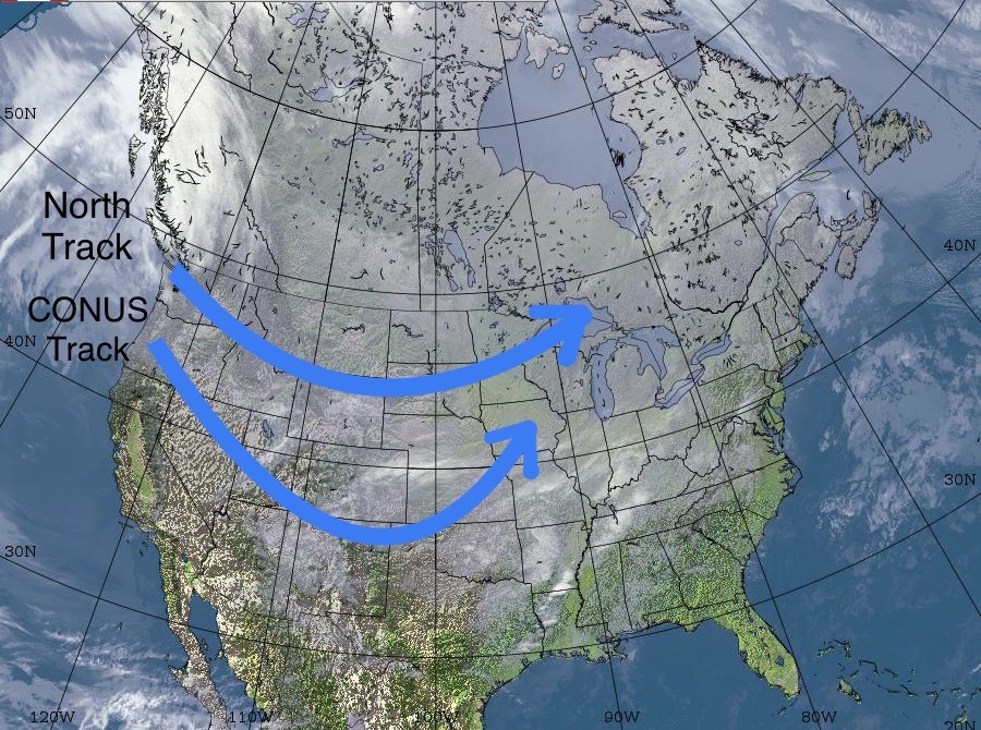
The cycle was divided into two parts we called the “Active West” and the “Northern” patterns. The active west pattern lasted 38 days and had 6 systems that repeated regularly. The northern pattern was mostly a Canadian pattern that clipped Washington, Idaho and Montana, lasting 26 days with 4 systems.
Hurricane Watch
We have accurately predicted a calm hurricane season for this year, bucking the trend from just about any other weather service. Below is a chart of predicted hurricanes and named storms from various other weather outlets conducted by Colorado State. Notice the last prediction on the right from my colleagues at Weather 2020, who use the CPH, predicted normal activity.
The CPH not only tells us about the amount of activity of a particular hurricane season, but also the location and dates of where and when those storms may occur. There are tropical indications that show up during the cycles that give us these clues.

Weather 2020 has predicted a hurricane for the gulf side of Florida (80% chance) around the end of August–weather models are just starting to pick up on it. FutureSnow has predicted a hurricane for New England (80% chance) around Sept 5th and a few models have it showing up. Both Weather 2020 and FutureSnow accurately predicted hurricane Ida last year, nailing both the date and location.
Thanks for stopping by and reading the blog. It’s almost September! The snow will be flying soon. Mike
