The active west part of the pattern begins Friday. After a couple of unexpected twists and turns. Canada is reaping the rewards of the northern part of the pattern. Both Revelstoke and Banff have received a couple feet of snow in the last week.
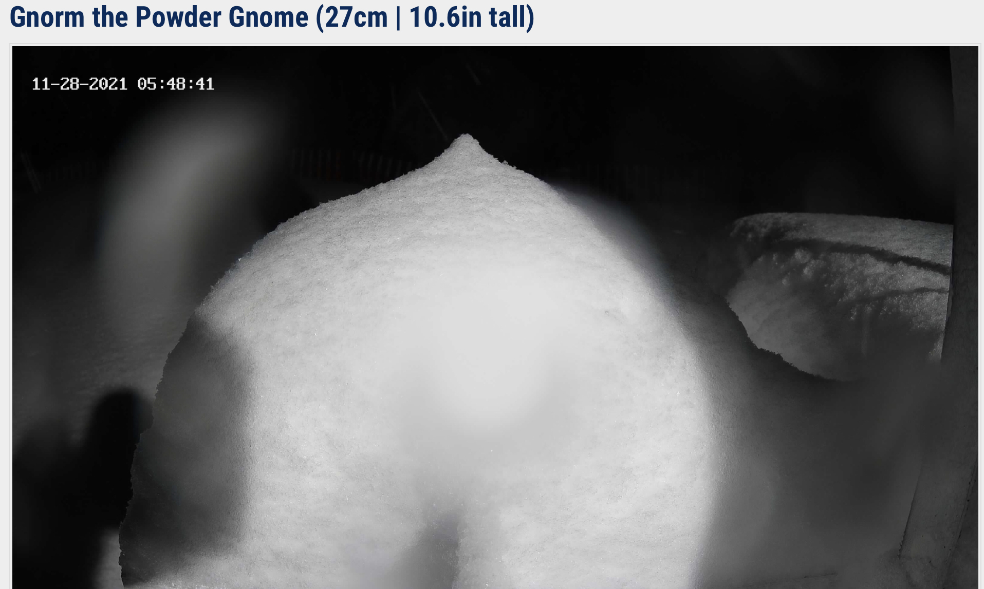
Gnorm the Powder Gnome
Meanwhile, back in the states it’s been warm and dry. The exception being the Northeast, where they had 11″ at Bromley, 10″ at Stowe, and 8″ at Jay Peak.
Short Term Forecast
Warm and dry for most of us. There is a small storm that will come through Whistler today. Freezing level is 7,000 feet, so mostly rain. That storm will move across southern Canada Tuesday and Wednesday hitting Revelstoke and Banff. Those mountains are much taller, so mostly snow with a storm total between 10-15”.
This Weekend
The pattern change begins Friday with a small system in the Pacific Northwest. That system will move across Washington through Idaho and Montana.
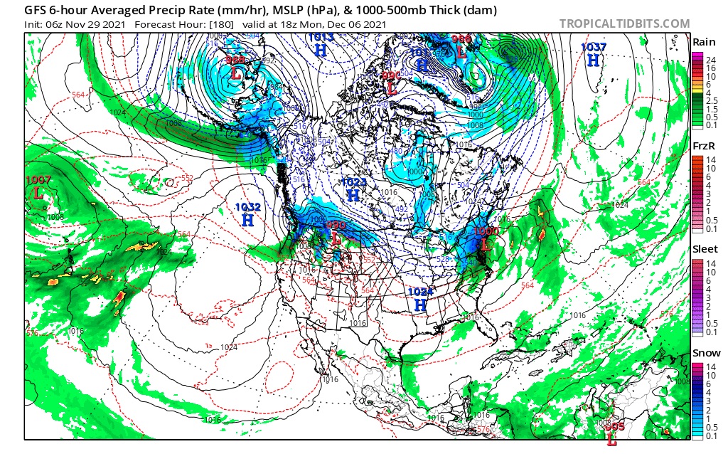
FutureSnow
December 6 PNW 7th Utah, Colorado
This is the first storm in a series of storms that hits the Pacific Northwest. The last time the storm came through there were double digit totals in both the Colorado resorts and Utah.
More on this tomorrow!
