Pattern Discussion
Above is the 500 mb Flow showing the last two cycles, day 10. This shows the flow of the current storm and how it moves across the CONUS (continental United States). This is just another example of how the weather repeats. The difference this time through is that the Artic Oscillation (AO) and North Atlantic Oscillation (NAO) are positive. Those teleconnections being positive alter the position and track of the system. The storm is there, right on time, but with some subtle differences.
This time through, this powerful storm, couldn’t tap into Pacific moisture with its pass through Washington, Oregon, and California. Due to the position of the track and lack of Pacific moisture. Now it is picking up strength and will continue to build because the storm is tapping into Gulf moisture. Look at the projected totals for the plains.


Today’s Forecast
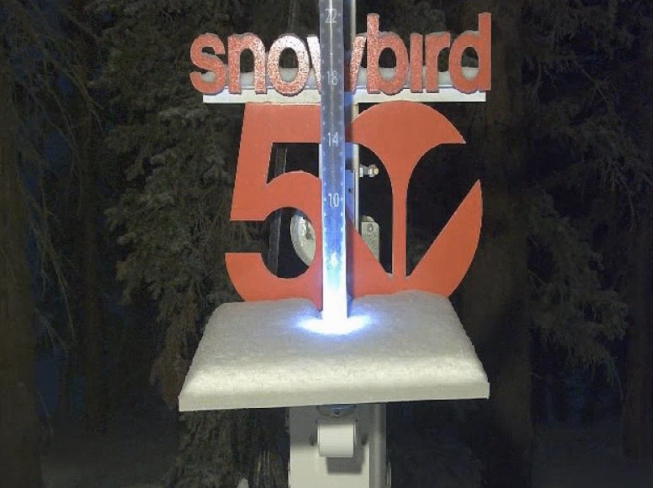
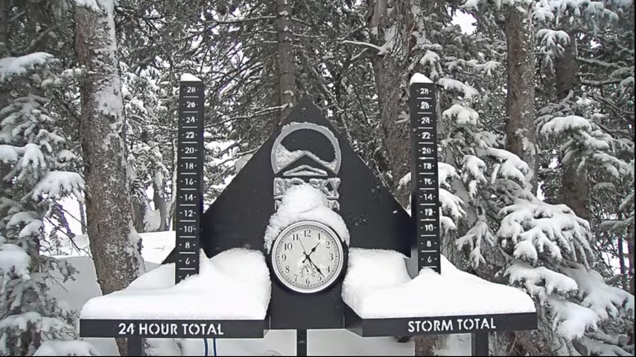
Snow wraps in Utah today with 2-4 for most mountains near the Cottonwoods. That system arrives in Colorado by lunch time with heavy snow, at times, with light winds. The kind of snow that if you are sitting in the trees, it is refreshingly quiet. I don’t know how to better describe how quiet it is–but those who have experienced it can relate.
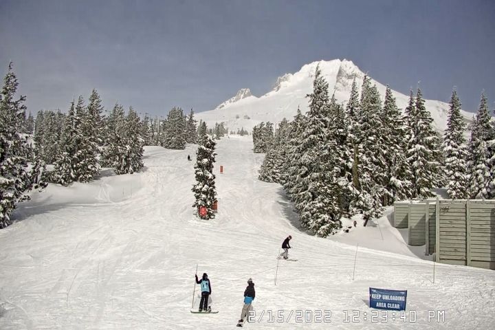
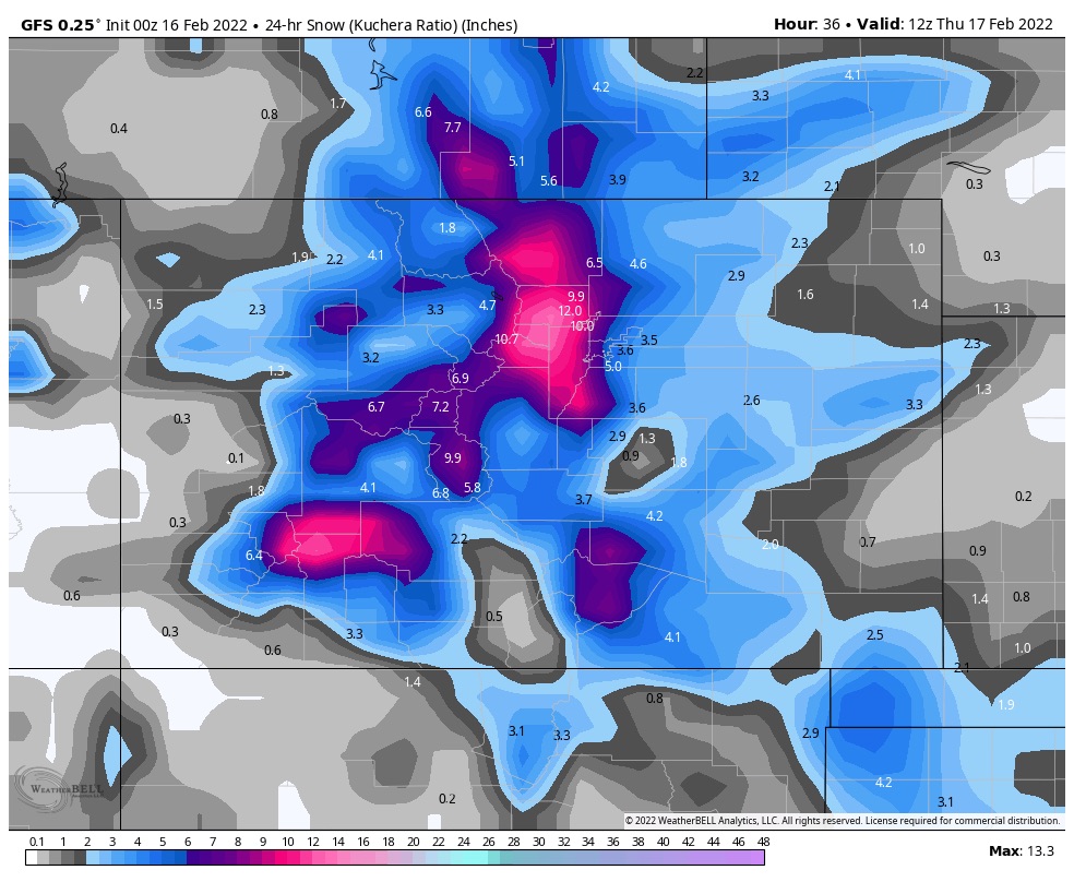
Temperatures will be around 30 at 7500 ft. It will snow all day and taper off well after midnight. Tomorrow should be a great day with moderate temps (25 degrees) light winds and bluebird skies. Expect 7-10 for mountains on or near the divide with most mountains receiving at least 4-6. Below is the high resolution model forecast.
Next System
The next storm system arrives to the PNW late Saturday and early Sunday. This system is right on schedule with the Pattern and we will dive into this one more in the coming days.
Spring Break Forecast Soon!

Thanks for spending time reading the blog. If you have any questions, please ask them in the comments below. If you would like to take advantage of our free Ski Concierge, which gives you detailed information for your trip, send me an email to Mike@FutureSnow.co
