Summary
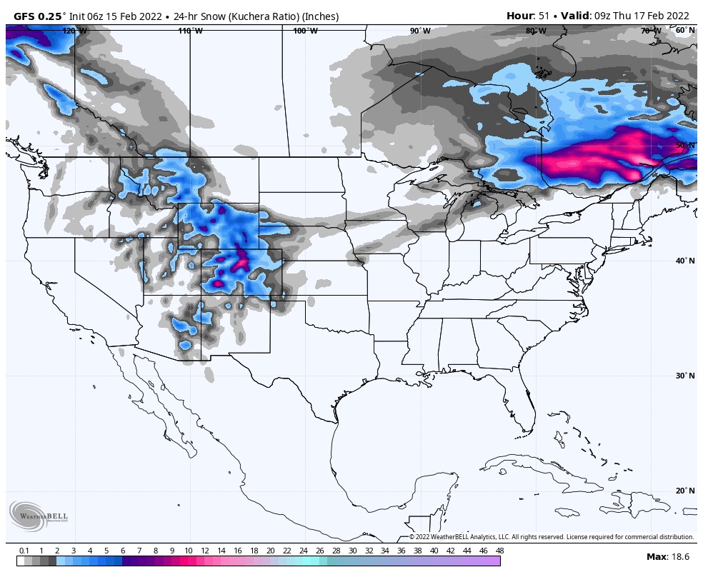
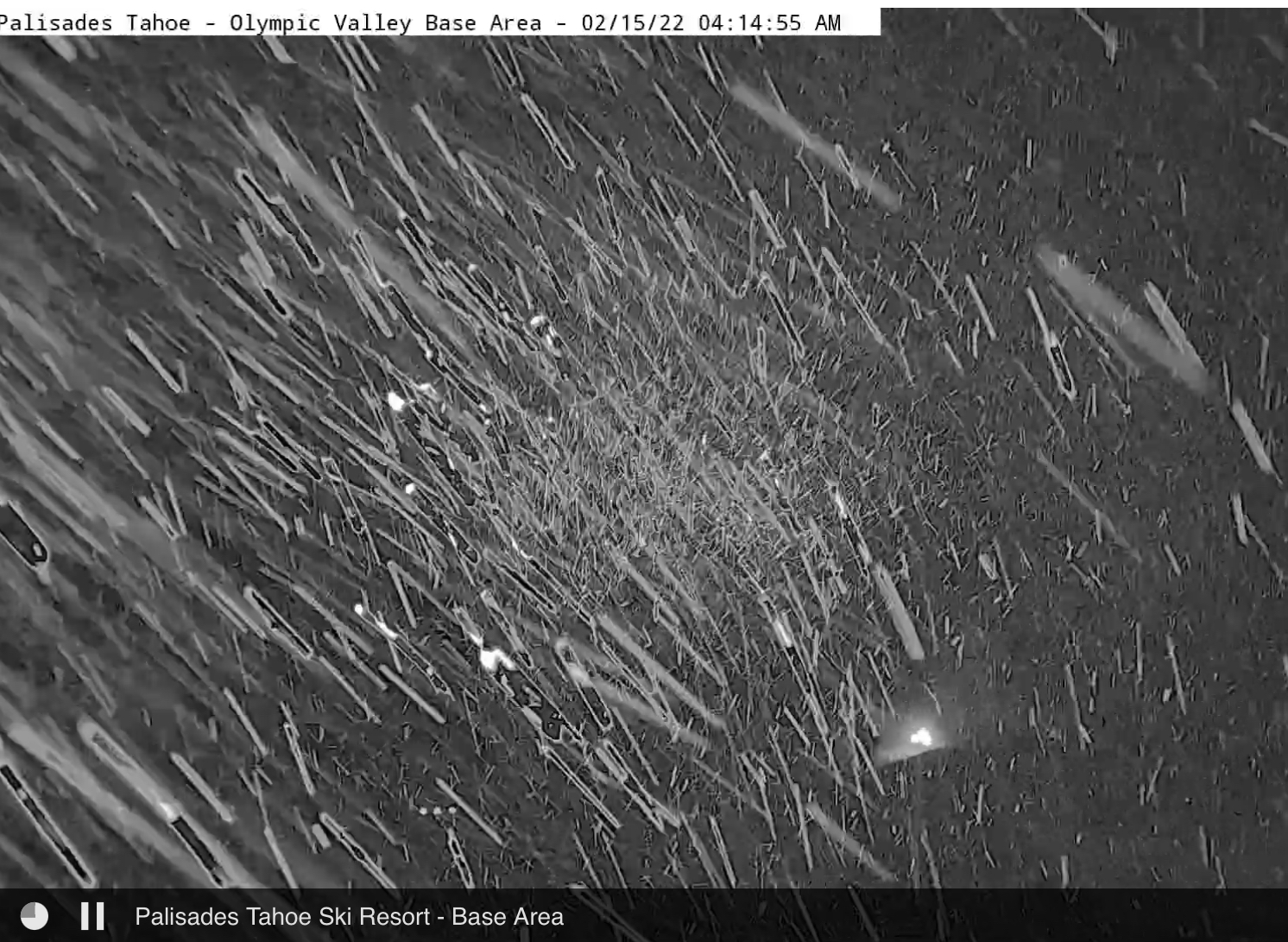
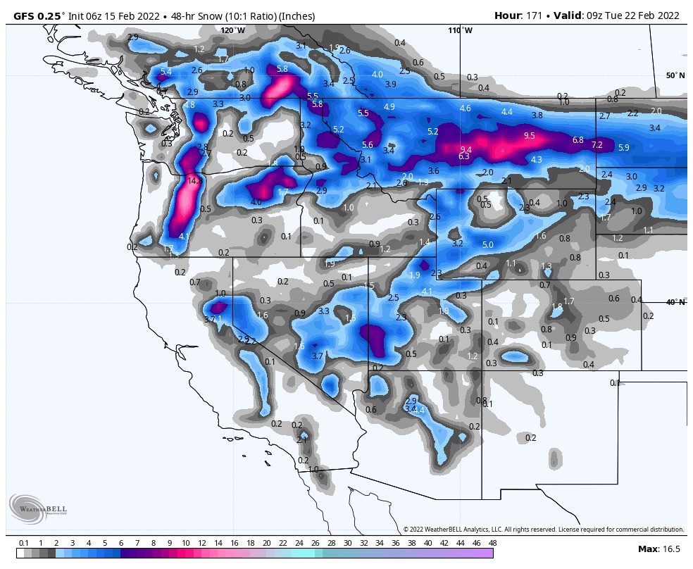
Snow moves out of Tahoe later this morning, as the energy from the southern split, combines with the northern split. The storm moves into Utah before sunrise, northern Colorado by 10 am tomorrow. Snow showers for most of the day with moderate winds in Utah and Colorado.
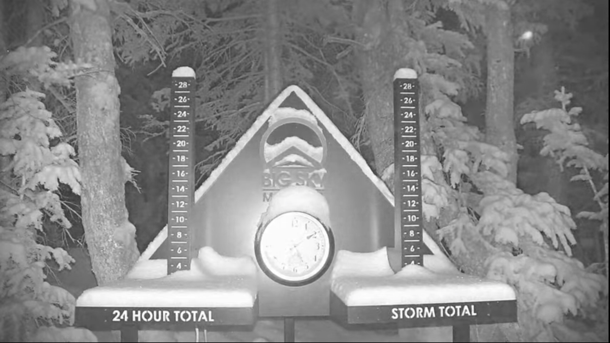
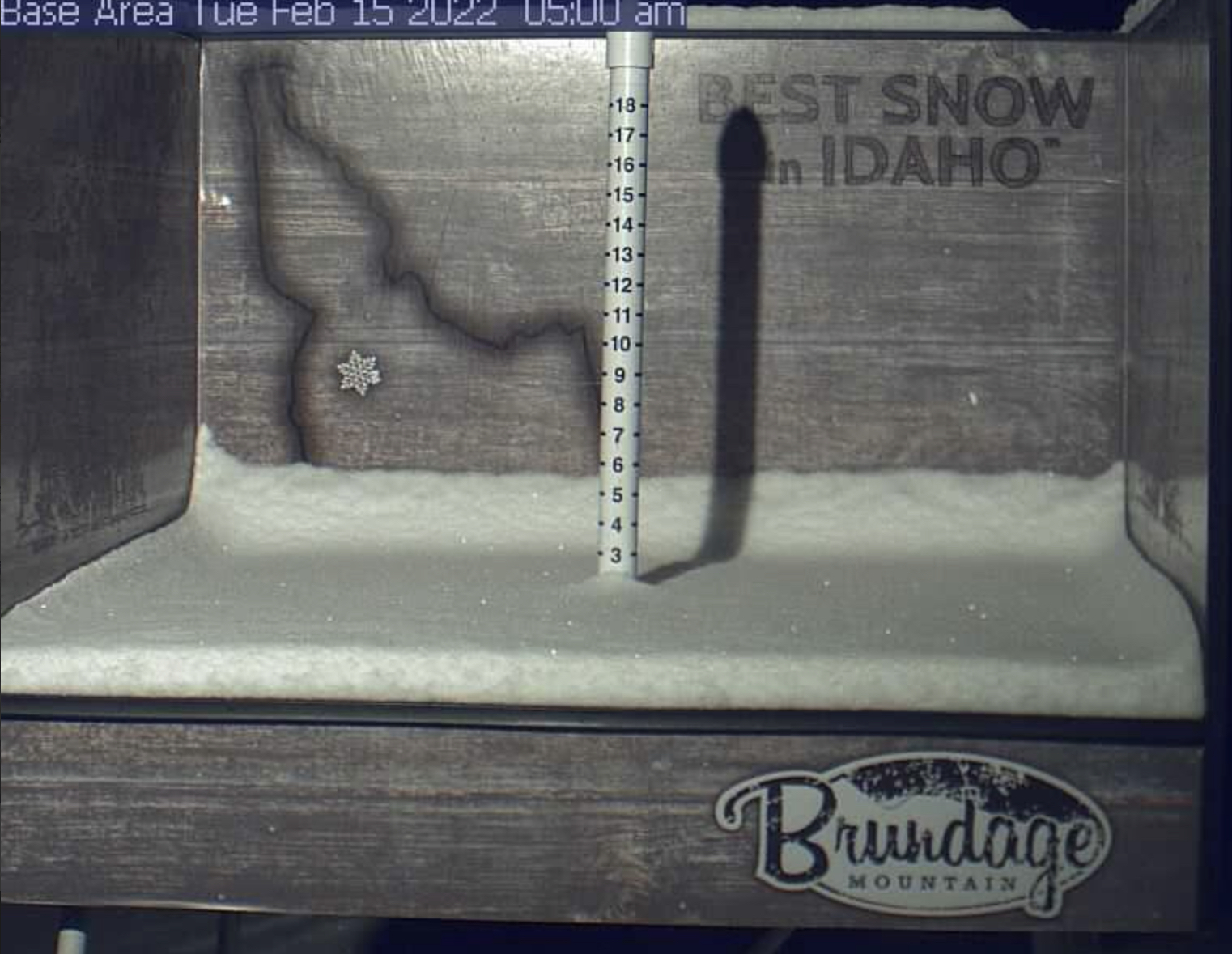
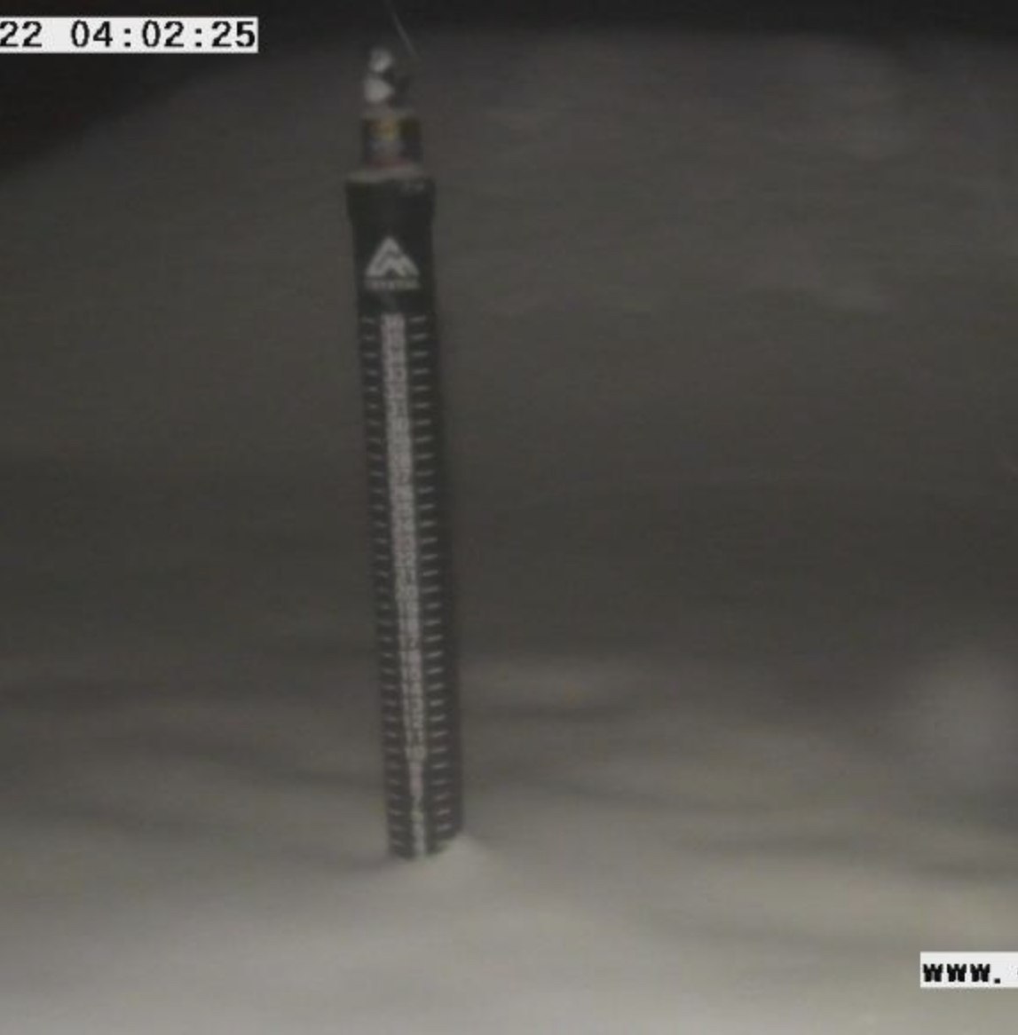
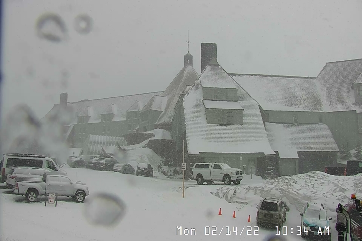
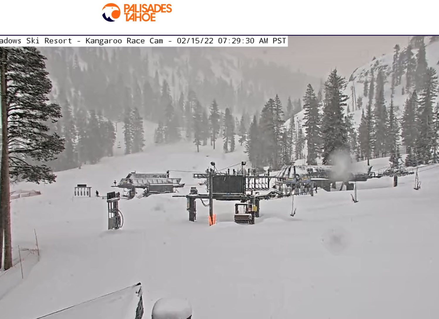
Snow!

Forecast
Utah Tomorrow

Snow tomorrow with a high of 25. Light winds from 5-15 mph. Snow totals in the 3-5 range. The system moves out tomorrow evening by 10 pm. Nice bluebird skies Thursday with a high in the lower 20s and light winds.
Colorado Tomorrow
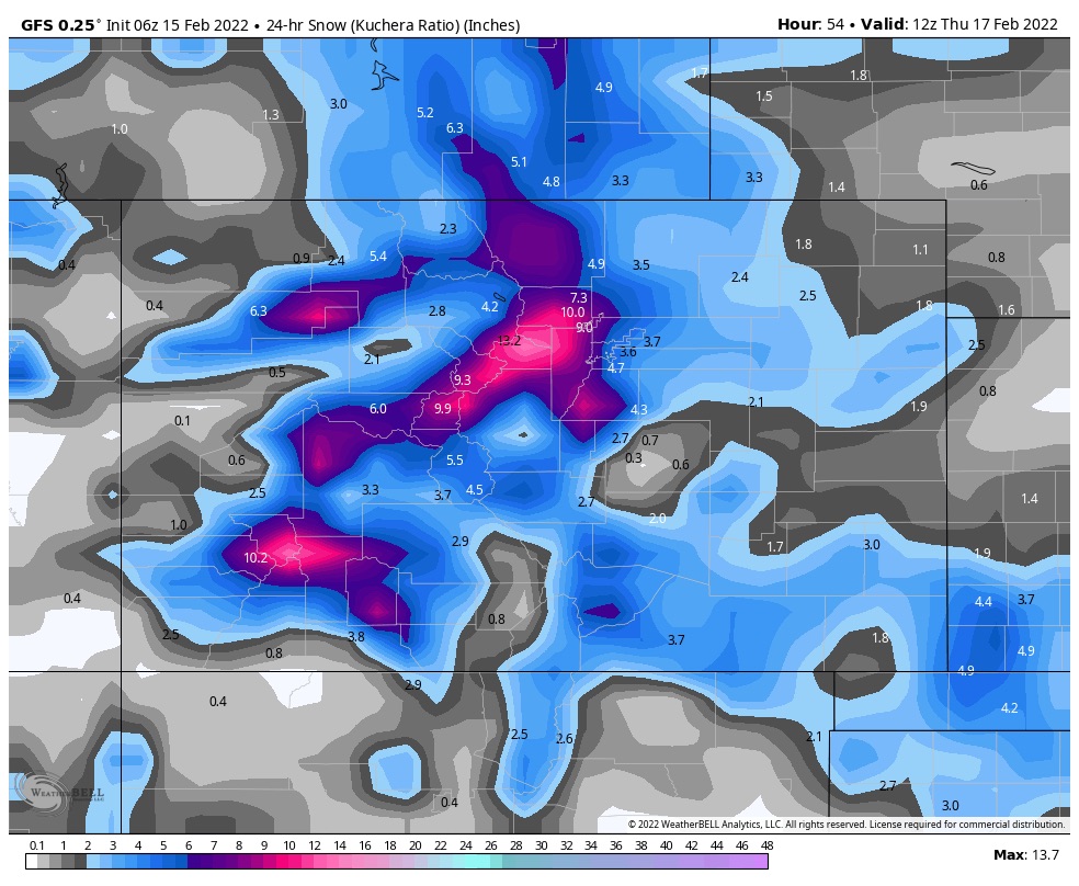
Snow will begin tomorrow morning in the northern mountains and progress from northeast to the southwest, with all mountains receiving snow by 11am. Temperatures in the 20’s tomorrow morning with 7000 ft high temps around 30. This storm favors the mountains along the divide.
Snow Totals
6-10 for Winter Park, and Eldora,
4-8 for Arapahoe Basin, Breckenridge and Keystone
3-6 for Vail Beaver Creek and Copper
6-12 Telluride and Wolf
Snow moves out this evening and expect gorgeous weather on Thursday with highs in the lower 20s with light winds.
Next Pattern Storm
 The next pattern storm arrives in the Pacific Northwest on Saturday Morning. This storm is trending stronger the last few model runs, its path takes a similar track as last time through. We seem to be back on track with a favorable ridge position. We will dive into this storm tomorrow.
Thanks for spending time reading the blog. If you have any questions, please ask them in the comments below. If you would like to take advantage of our free Ski Concierge, which gives you detailed information for your trip, send me an email to Mike@FutureSnow.co
