Pattern Discussion
We are back in business, after that great Super Bowl, as snow is in the forecast for most of the west. LA gets the championship and Tahoe gets some snow after near record-breaking dry spell.
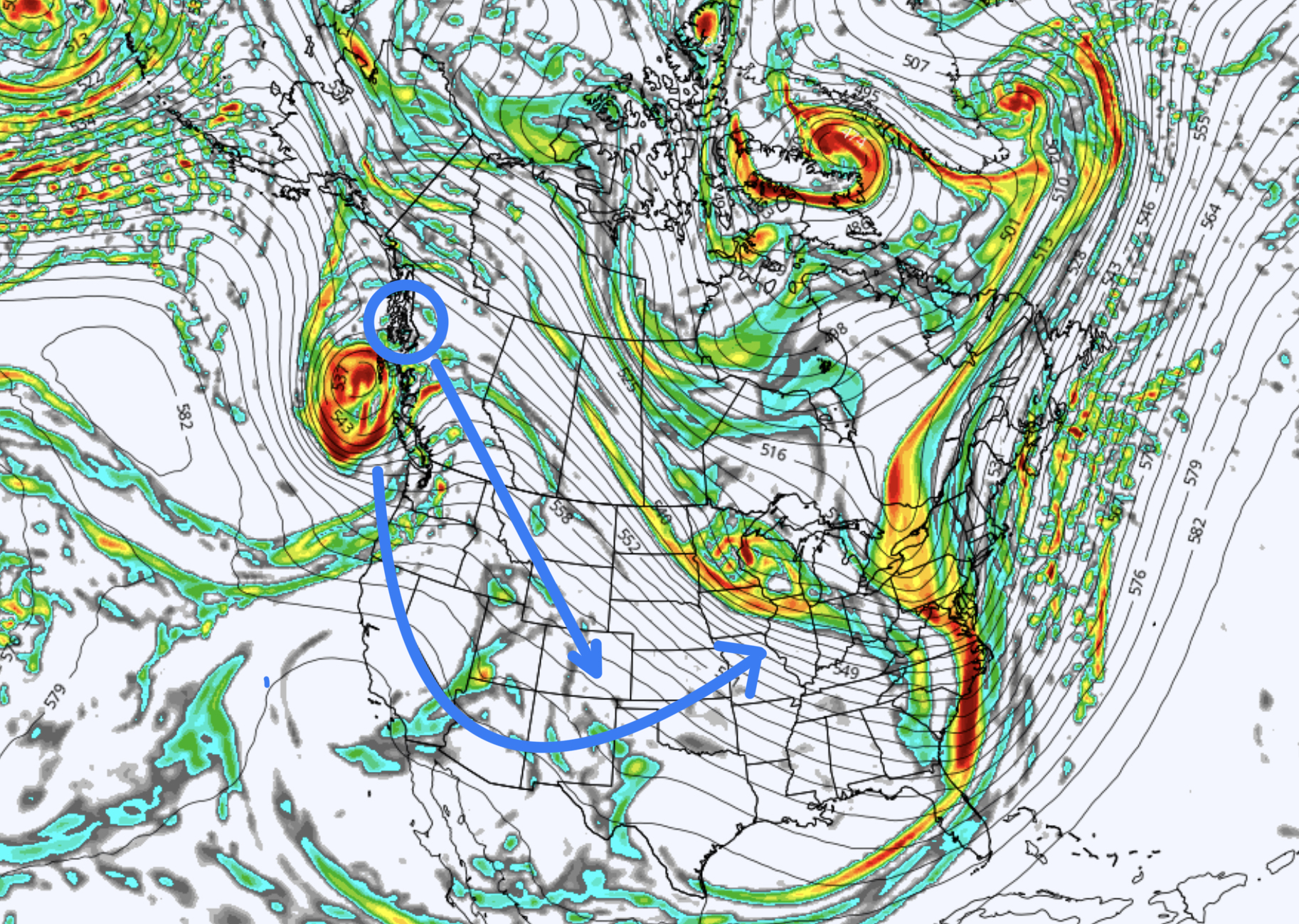
This is a split energy storm. Snow will fall in the Cascades today and move south to the Sierra tonight. The other part of the split goes through the gap and runs in the alley through Idaho, Wyoming, Utah and Colorado.
‘Forecast
PNW
Today Northern Cascades
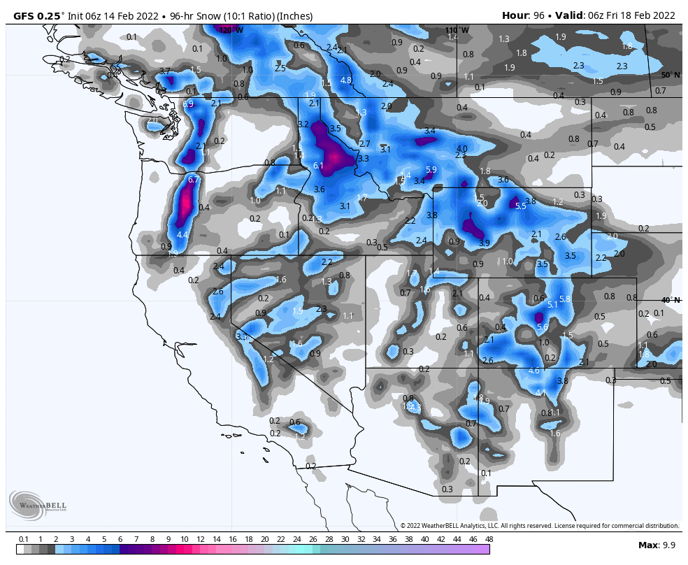
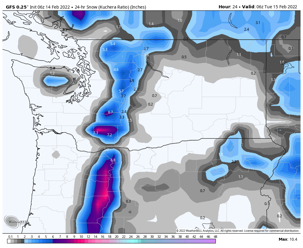
Winter weather advisory today in the northern Cascades. Snow today with temperatures dropping to 30 today with southwest winds 20-25 mph. Freezing levels will be dropping to around 2000 feet by mid-day. Snow amounts for Crystal and Stevens Pass between 3-6 with 49° North on the lighter side with 1-3.
Tonight
Snow wraps in the overnight hours with another 1-2 possible. Low of 27 with calm winds.
Southern Cascades
 Snow and strong winds with gusts around 40 mph. Total daytime accumulation between 5-9 with freezing levels dropping throughout the day to 2000 ft.
Tonight
Strong winds continue with another 1-3 expected before the bulk of the system moves out around midnight.
Tahoe
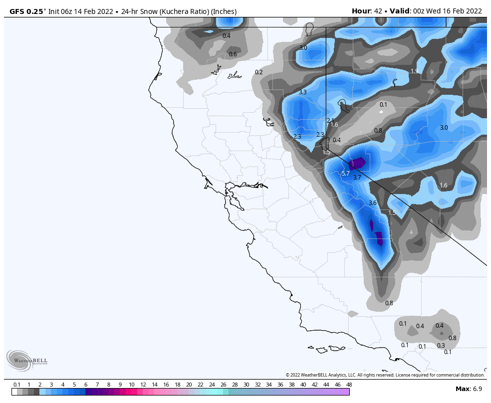
The system moves in during early evening with high winds as the system arrives, 40 mph gusts are expected. This is a high snow level system, with warm temps, so higher elevation resorts will have better snow.
The good news is the bulk of the system hits around 10pm and lasts through the overnight hours. I am expecting 2-4 for most mountains above 7000 ft with maybe a couple of surprise amounts in the heavier bands.
Utah
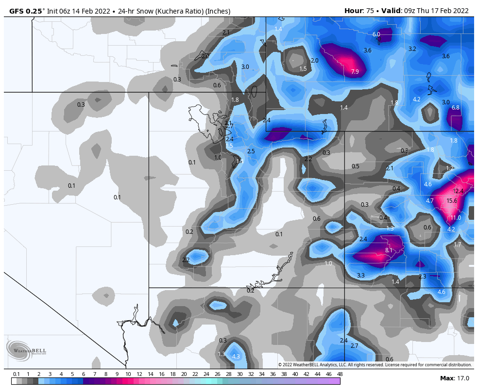
Storm arrives Wednesday, more details to come.
Colorado
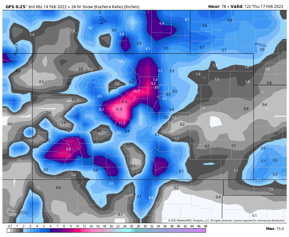
Storm arrives Wednesday night, more details to come.
Thanks for spending time reading the blog. If you have any questions, please ask them in the comments below. If you would like to take advantage of our free Ski Concierge, which gives you detailed information for your trip, send me an email to Mike@FutureSnow.co
