October 18, 2024


Surface, High-Resolution Model, Infrared Satellite, Travel Impacts, click to enlarge/animate


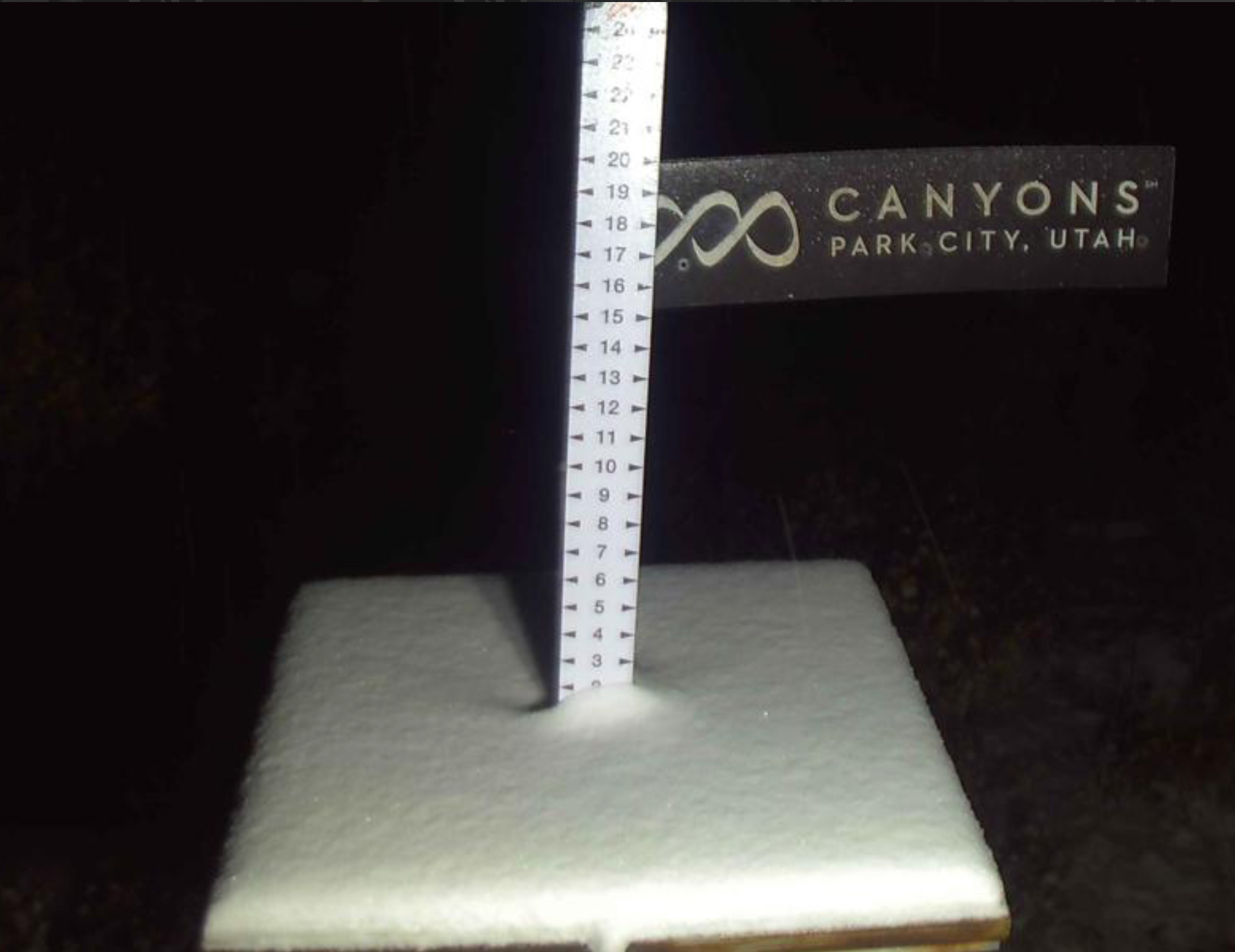
Region Totals thru 6 AM Saturday UT, Sunday CO


Pattern Discussion
Day 13, Cycle 1

The GIF above is the 500 mb chart that shows todays storm being cutoff, about halfway up in the atmosphere. Next (below) is a wider view of the same sequence. The trough comes in and the counterclockwise rotating storm gets cutoff from the flow (jet stream) and spins, nearly stationary, until the next incoming trough pushes it through. Troughs are created by an area of low pressure affecting the jet stream to dip. This brings colder air and storms. The exact opposite occurs for ridges. Ridges are areas of high pressure and are associated with sunny skies and warmer temperatures.

Next are a couple of snapshots of the current jet stream and the jet stream tomorrow. The cold air from Canada spills down in the trough. Then the storm gets cutoff from the flow and spins, trapping the cold air.
The next time this storm comes thru the jet stream will be lower that it is now, the storm will most likely not get cutoff. The snow totals for southern Colorado could be smaller, depending on the strength and fuel (moisture) of the storm, but the snowfall amounts for central and northern Utah and Colorado should be higher. Also, this will be a shorter duration storm because it won’t stall and sit and spin. Beware of the second trough that is forming after this cutoff system. This could be another strong wave of storms that, with the right help from teleconnection influences MJO and AO, could produce a Trifecta (3 storms in a row with short intervals).


Today

Utah
Snow totals are a little less bullish, we have had around 3-5 in the Cottonwoods so far, more up at the peaks. The bulk of the storm will move thru today with the highest totals in southern Utah.
Alta/Snowbird 6-10, Brighton 4-8, Solitude 3-6, Park City 2-4 Canyons 2-4, Eagle Point 2-4, Deer Valley 2-4, Brian Head 6-12, Sundance 2-4


Colorado
The heaviest totals will be in the San Juan mountains where it is still looking deep, but I have dropped the totals for the central and northern ranges. The central and northern mountains will get most of their precipitation today and tonight. While the southern mountains event will be through Saturday night and Sunday morning. The models could change anytime as cutoff storms have a mind of their own. “Cut-off low, weatherman’s woe”.
Purgatory 1-2 feet, Telluride 1-2 feet, Wolf Creek 1-2 feet, Silverton 8-16, A-Basin 2-4, Loveland 2-4 Breckenridge 1-3, Aspen 3-6, Crested Butte 3-6 Vail 2-4
Teleconnections
Not much help with any of the teleconnections at the moment. We monitor the connections to see how they affect the storms throughout the cycles.


First Set of Long-Range Predictions
I have been diving into the new cycling pattern, for the last month, and am ready to try my luck with the new cycle length. Last year’s length was 45-days that generally oscillated between 43 and 47 days.
 I am going to put out our first long-range forecast for the next 4 weeks. Of course, I am probably wrong on the Cycle length, it has never been correctly discovered this early, but I think I have it down, at least harmonically.
What are harmonics? When you think about a wave pattern, like the wave pattern to the left, a harmonic would be a similar pattern that is part of the bigger pattern.
When we talk about waves, or contours, as they are called on the 500 millibar chart, the pattern they form, whether straight (zonal flow), curving up (ridge), or curving down (trough) the pattern that they follow across the globe is a wave pattern.
Check out this next two charts. The first chart has a ridge-trough-ridge-trough pattern, and the next chart is similar. One chart has a tight pattern and the other is wider.


These two charts are 20 days apart and could be a third harmonic if it were a 60-day pattern. A half harmonic if it were a 40-day pattern. When you get the harmonic length, such as 20 days in this example, there would be a similar pattern at 10 days. Let’s say that you think the cycle length is 50 days, when in reality it is 60 days, but you get the harmonic length correct. Storms will line up with your length, but will be just a little off, because the length is slightly off. With that scenario you would likely be able to predict with an accuracy around 75%.
This is not a great example but look at the following two charts. The first chart represents a cycle length of 35 days and has completed 3 cycles. The second chart represents 55 days and has completed two cycles. The colors on the chart represent certain types of data. The shorter cycle length chart has much more agreement than the longer length chart. There are several things that align on each chart, but you would be much more accurate by predicting based on the other first chart.


This is a long-winded explanation that basically says if I don’t have the correct cycle length, then I’m close–at least, I hope.
GFS thru October 30th

The GFS is pretty good about 7 days out and then it falls off pretty quickly. It has a storm for UT and CO for this Friday then possibly a weak storm the 26th and then a moderate storm for Monday the 28th. I’m going out 50 days.
LONG-RANGE TEST FORECAST +/- 2 days tolerance
October 29th, the GFS is correct, Utah and Colorado
November 2 and 4th (2 Waves), Utah and Colorado
November 8-9th, Utah and Colorado
November 13th, Pacific Northwest
November 17th, Utah and Colorado
November 22nd, Utah and Colorado
December 3rd, Utah and Colorado
Let’s see what hits and what misses. If they all hit than I have the cycle length right. If I miss some, then the harmonic is off. If I miss a lot, its back to the drawing board.
From Monday
Hurricane Charts and the Power of the LRC
Verified Hits in Blue, the chart below was published to my X page @holmmike on June 10, 2024. The preliminary chart was published on FutureSnow.co on April 19, 2024. You can find it here https://futuresnow.co/fire-at-timberline-lodge/


Another successful year in hurricane prediction. Six storms predicted with three storms hitting the Trifecta of date, location and path. Corpus Christi, Florida West Coast (2) and our first predicted Typhoon all hitting the correct location within the +/- 5 days of the predicted date.
We hit the bullseye on Typhoon Krathon, date location and path and Hurricane Debby, also date, location and path. Hurricane Beryl we hit the location and path but was late, still within tolerance July 7th. Hurricane Francine, we predicted the correct date but missed the landfall location. We expected this to hit the Florida panhandle but instead missed by about 500 miles hitting Louisiana.
Thank you for reading the blog and as always if you have any questions, please email me at Mike@FutureSnow.co. We have received many great questions, and it is a pleasure to answer them, so don’t hesitate to ask.
