

Snow Stake Cams
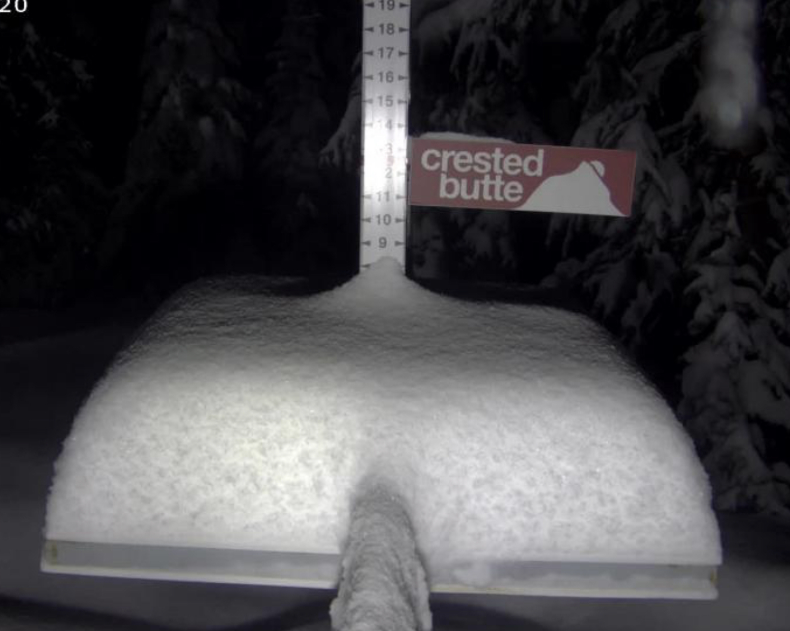
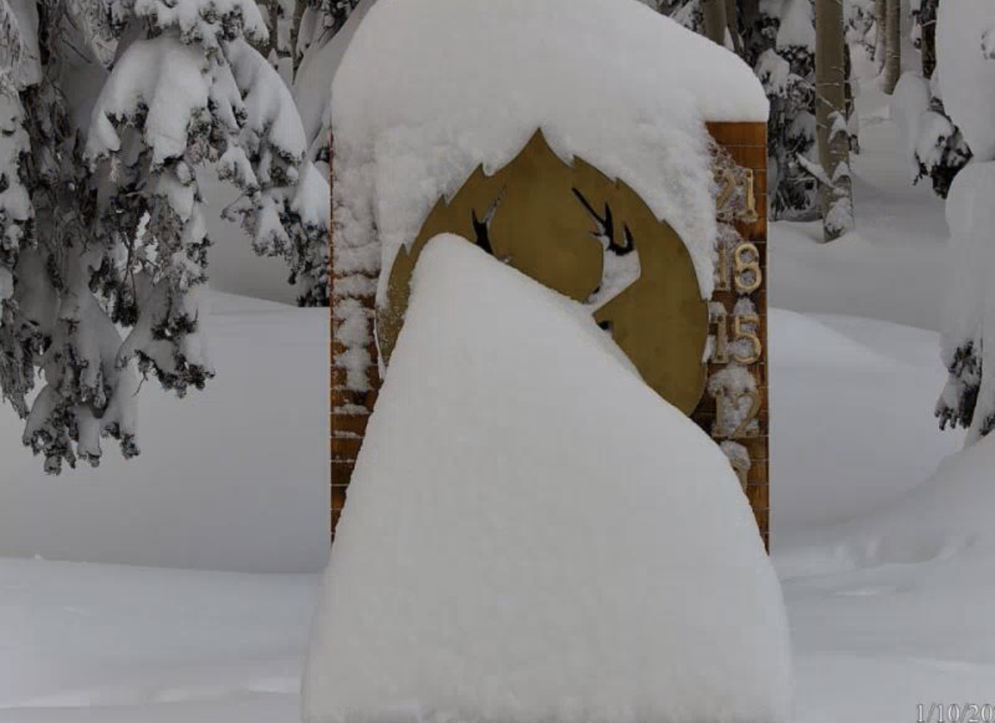
From Jack H at Crested Butte Yesterday
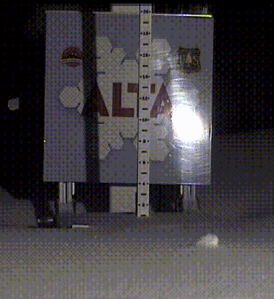
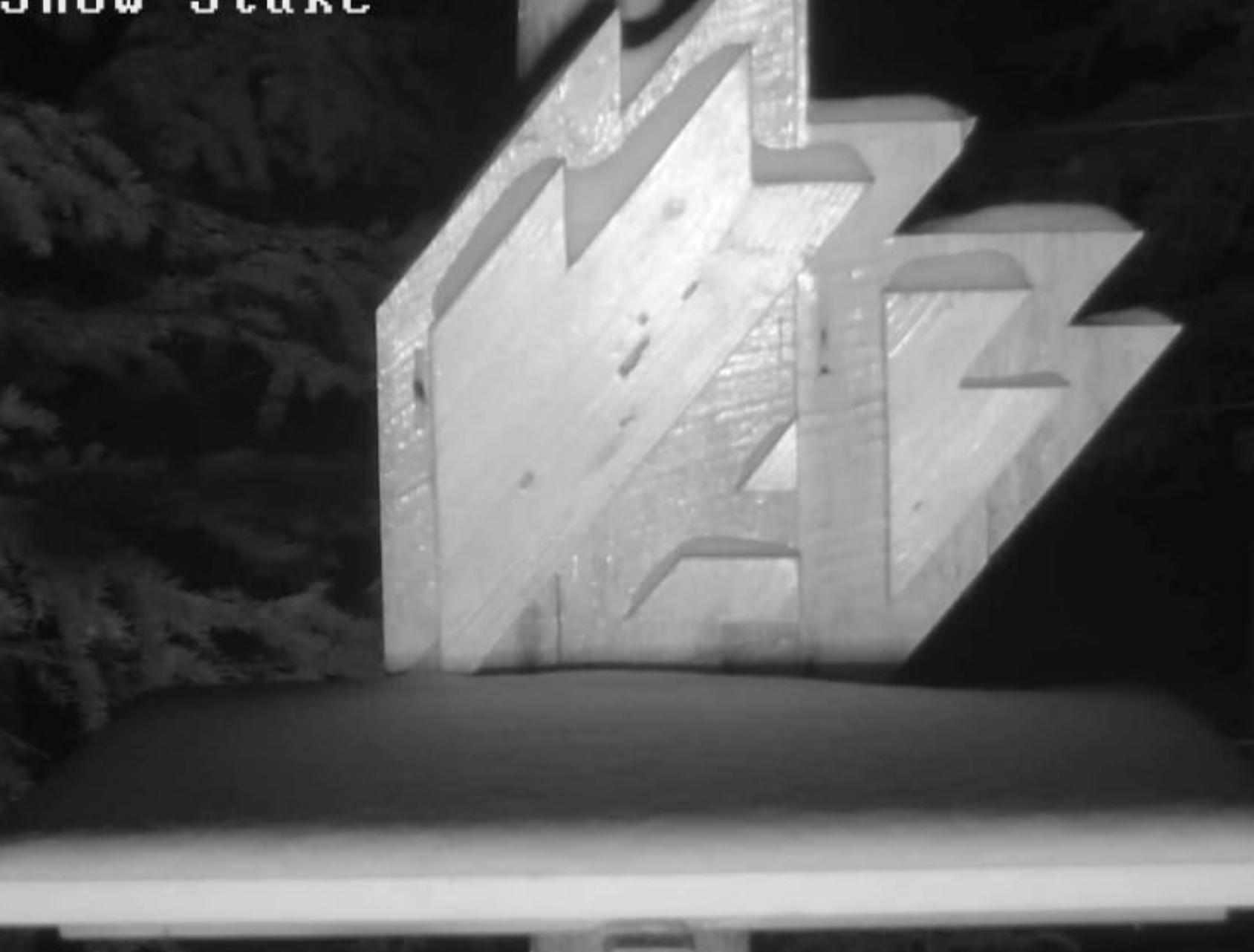
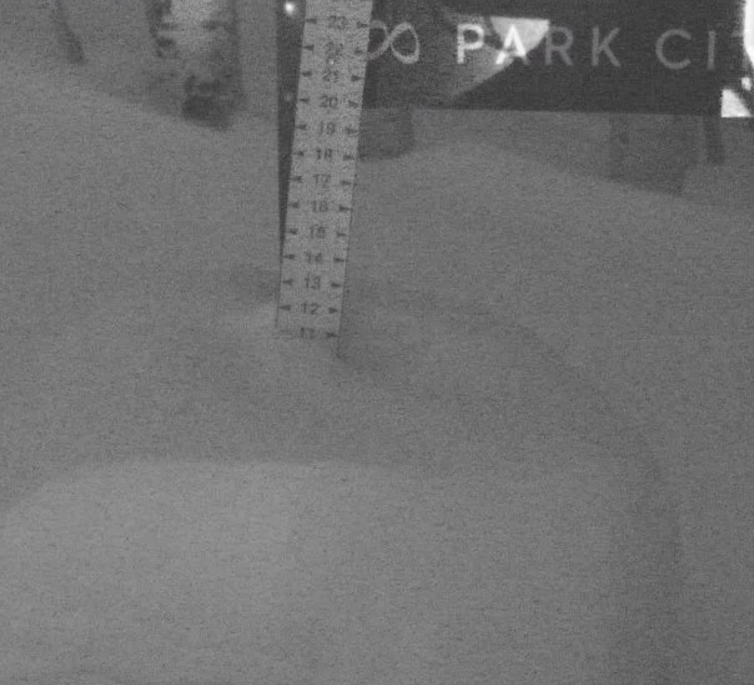
In High Winds, Alta Places their Snow Stake on the Ground
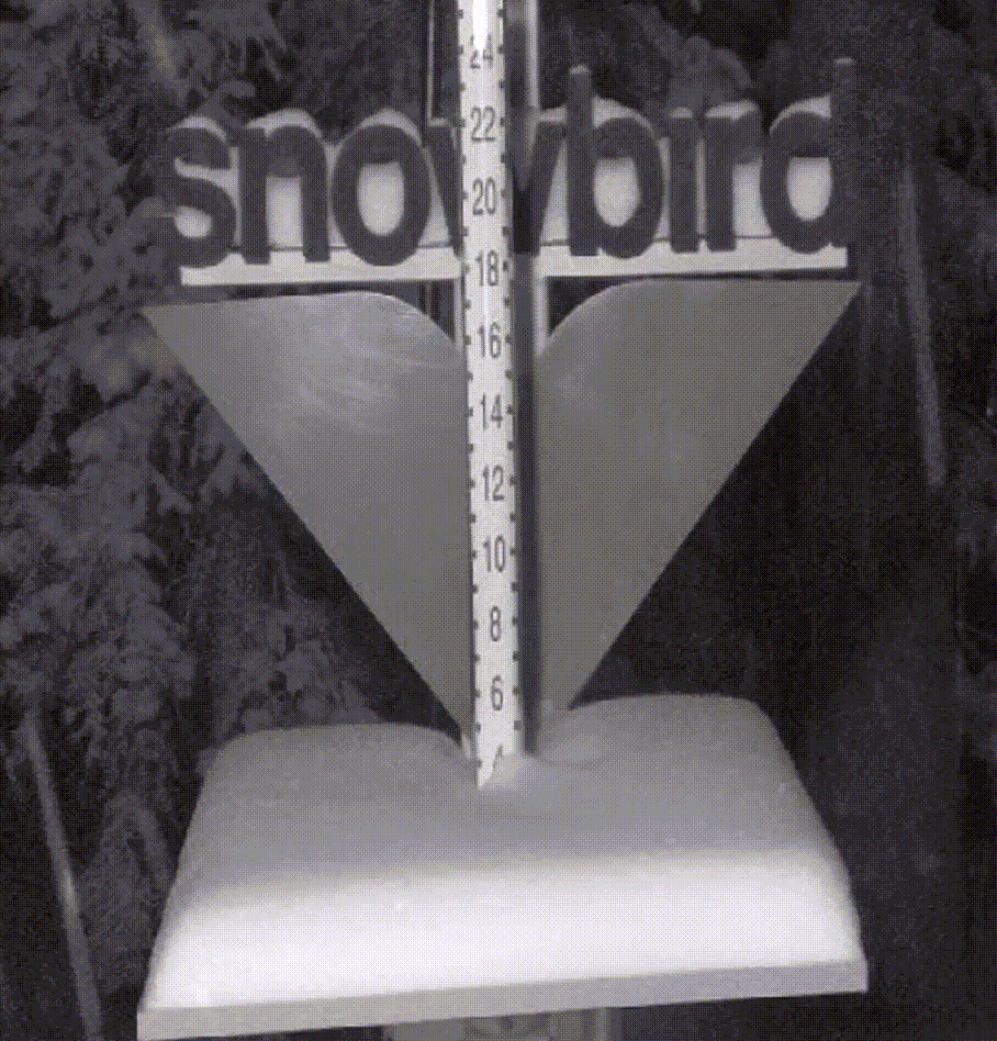
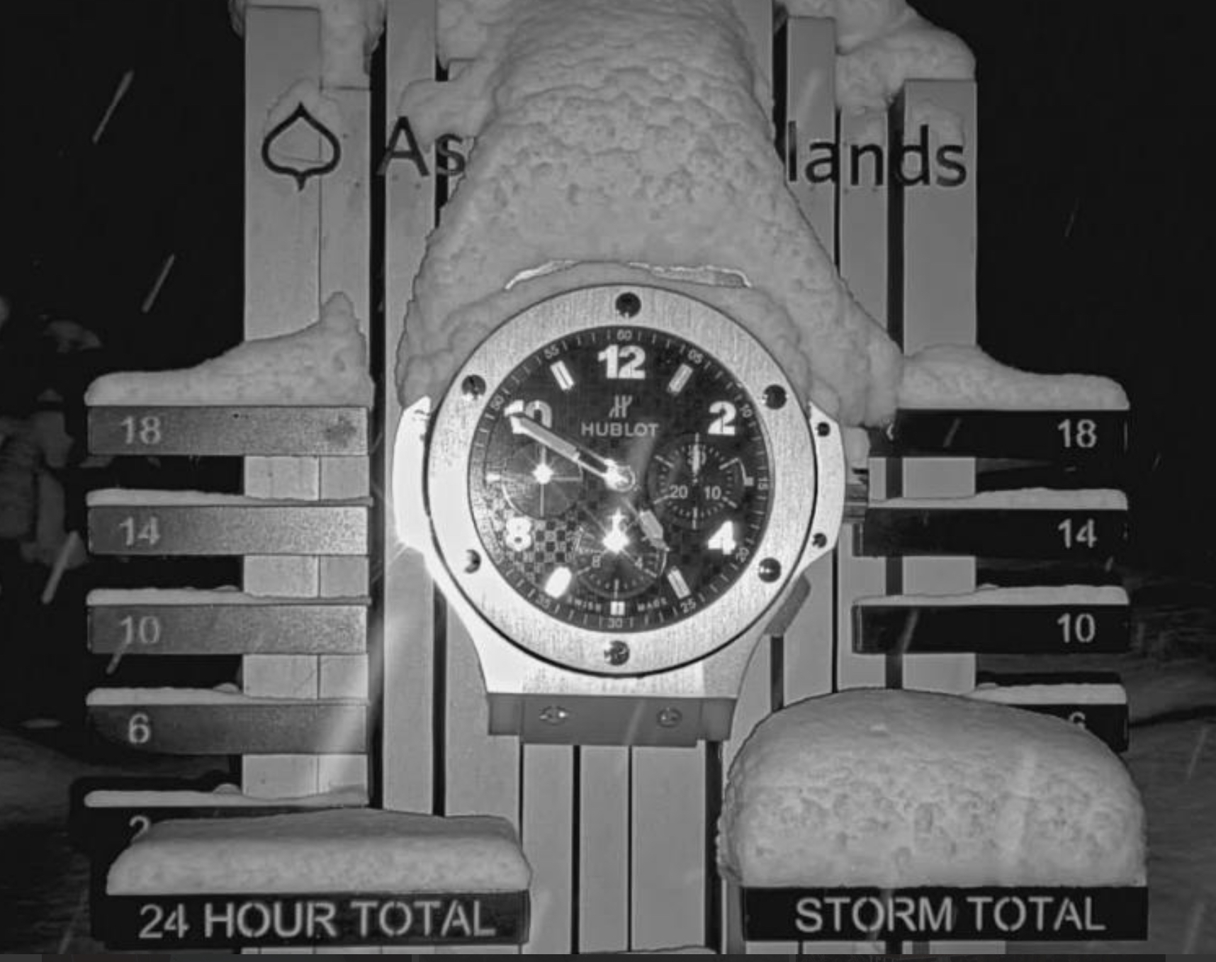
Snowbird, Does Not
Forecast Summary
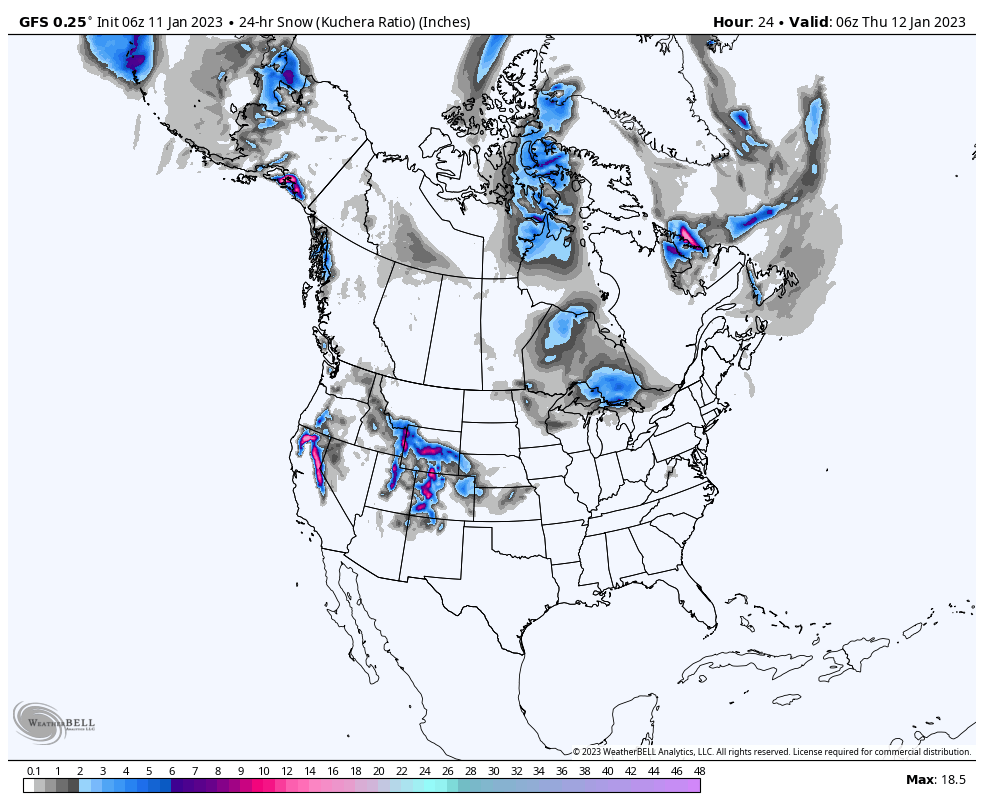
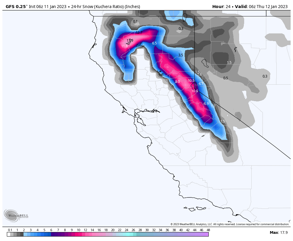
The next round moves into Lake Tahoe this morning, around 10 o’clock, while the last round moves out of Utah, around noon and Colorado around 5 pm today. The next system moving into Tahoe, this morning, will take a northern track and become disorganized, as a ridge of high pressure develops in front of the storm. That energy is forced up the coast giving the Cascades some love, as they have been excluded from the heavy snowfall to their California neighbors.
Today, snow begins in Tahoe around 10 or 11, depending on location, and will end around 10 pm tonight. That storm slides up the coast and hits the southern Cascades by lift closure, northern Cascades by early tomorrow morning. The heaviest snow will fall during the afternoon for Tahoe and overnight for the Cascades.
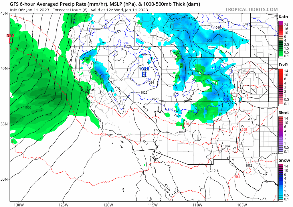
Lake Tahoe resorts get a break on Thursday before the next storm follows, getting the disorganized flow back on track Friday. Below is a close-up view of the MSLP (Mean Sea Level Pressure), or surface chart. You can see the storms exit Utah and Colorado, followed by northerly flow, and finally a Low-Pressure system breaking through in a game of “weather” Red Rover.
Long-Range Predictions thru March (from Monday)
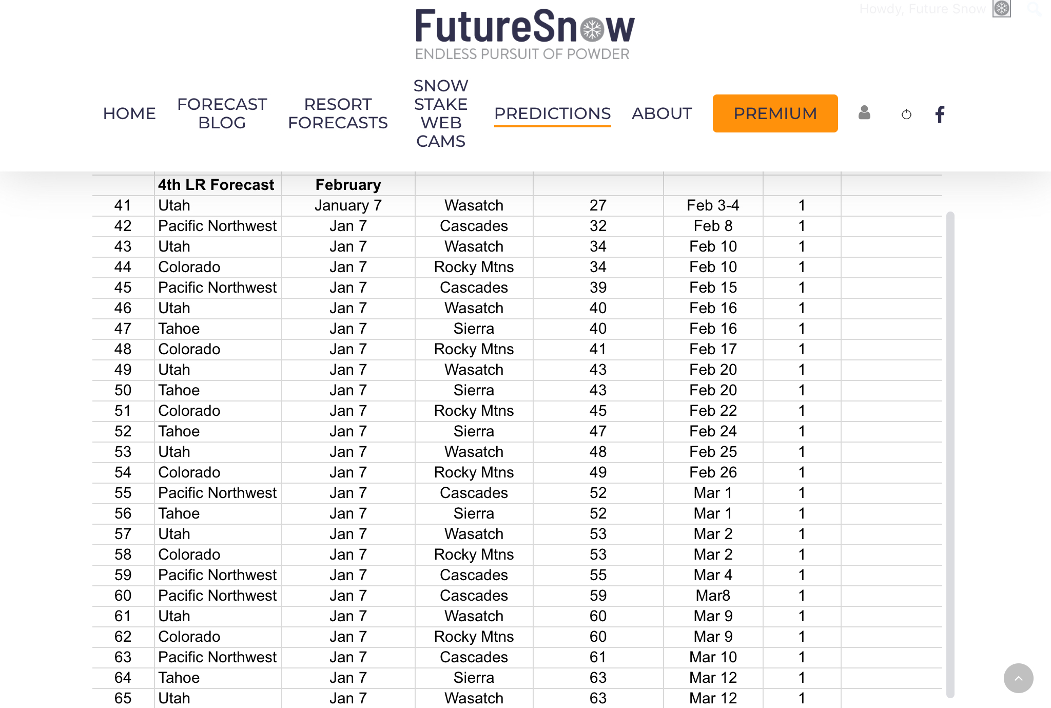 We have our long-range forecast out thru March, there have been a lot of emails regarding the long-range, and I thank you for your patience. Every year, it is very challenging to put all of this together.
We are getting better and better at figuring out the cycle, what the various teleconnections are, and how likely they are to affect the pattern. It’s a lot of calculating, analyzing charts, and waiting.
It is also very rewarding once you figure out what is going on. Sometimes you think you have it all figured out, only to realize you were wrong. It takes all of the aforementioned process and much more, that I won’t bore you with, but there it is.
As always you can email me with other resorts and areas you are interested in. We can forecast for the entire northern hemisphere, so if you are interested in the east coast resorts, Europe, or Canada, just let us know and we will give you a detailed forecast.
Forecast
Lake Tahoe
Next system Saturday
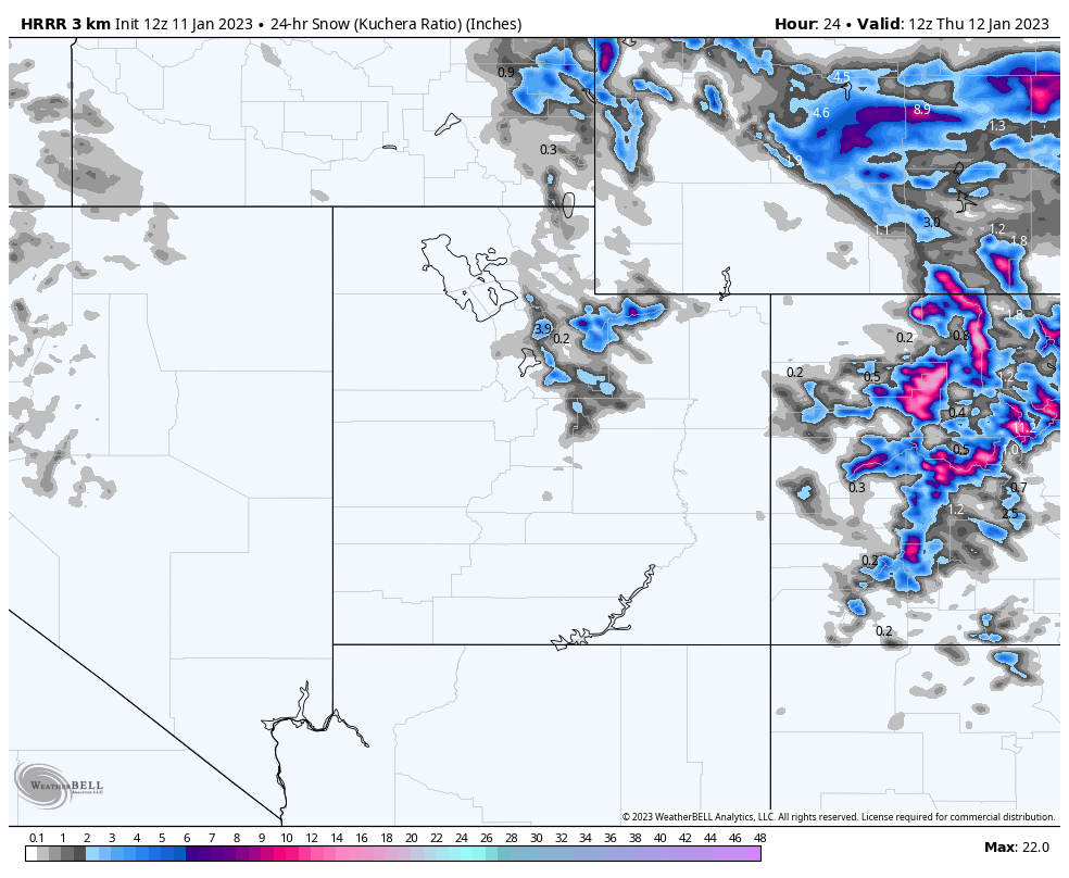 Utah
Utah
Today
Snow before noon, cold and moderate winds 15-20 mph with gusts around 25 mph. Scattered snow showers are possible thru the evening.
Wednesday thru Friday dry, then the next system arrives on Saturday.
Colorado
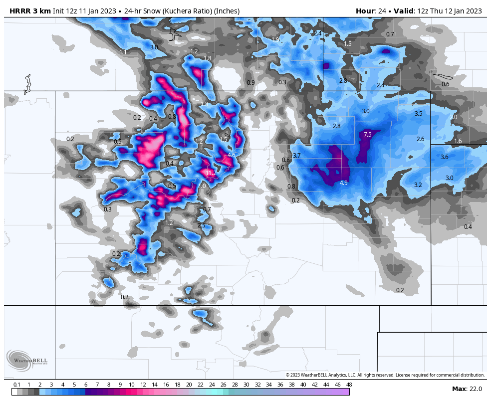
Today
Snow throughout the day with strong winds with gusts up to 45 mph. Resort totals today:
Vail/Beaver Creek 4-6, Aspen 2-4, Steamboat 4-6, Winter Park 2-4, A-Basin 3-5, Breckenridge 2-4, Crested Butte 3-5, Telluride 2-4, Silverton 2-4, Wolf Creek 2-4 Powderhorn 2-4
Thursday thru Saturday mostly Dry, with temperatures in the high 20’s to low 30’s.
Next System Saturday Night
Forecasted Areas
Pacific Northwest Cascade Mountains
Crystal Mountain, Mount Hood Meadows, Timberline, 49 Degrees North, Bachelor, Mt Baker,
Lake Tahoe Sierra Mountains
Heavenly, Palisades Tahoe, Kirkwood, Dodge Ridge, Donner Ski Ranch
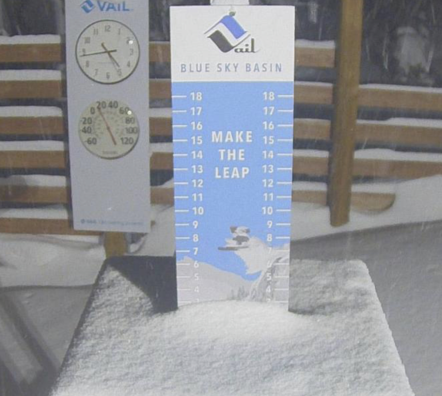
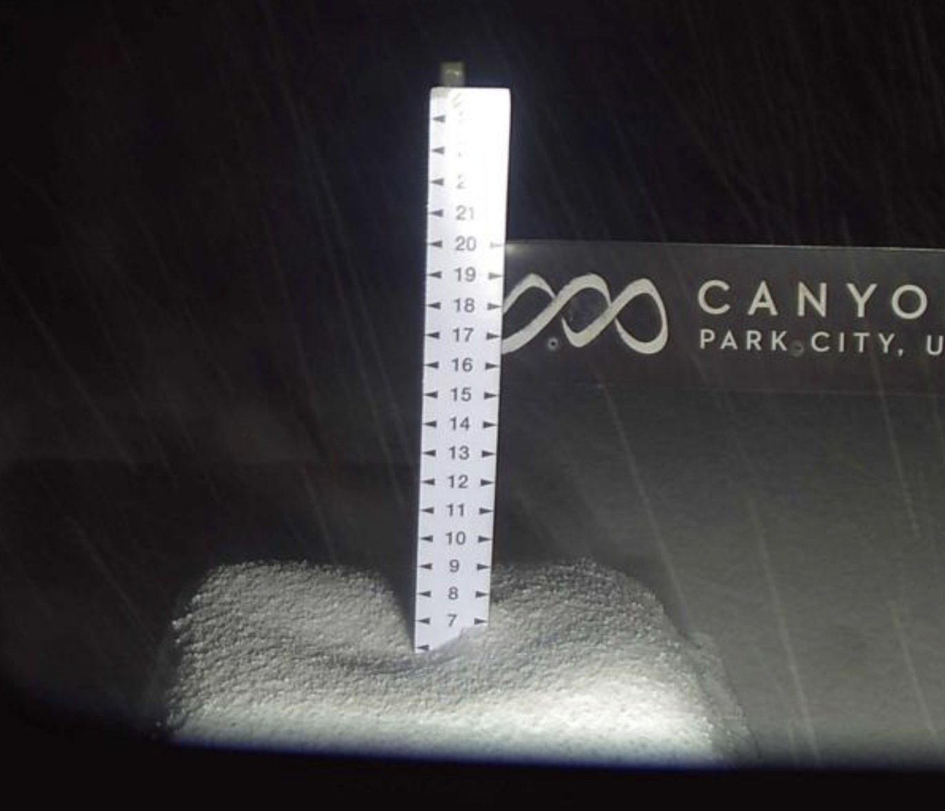
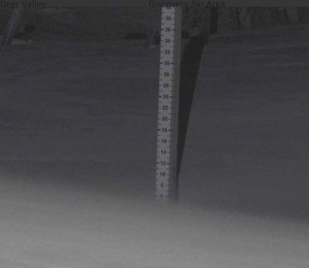
Utah Wasatch Mountains
Alta, Park City, Deer Valley, Brighton, Snowbird, Brian Head
Colorado Rocky Mountains
Aspen, Aspen Highlands, Snowmass, Vail, Beaver Creek, Winter Park, Keystone, Arapahoe Basin, Breckenridge, Copper Mountain, Powderhorn, Ski Cooper, Telluride, Crested Butte, Silverton, Wolf Creek, Eldora, Loveland
