
Snowwater Heli
Click to Enlarge
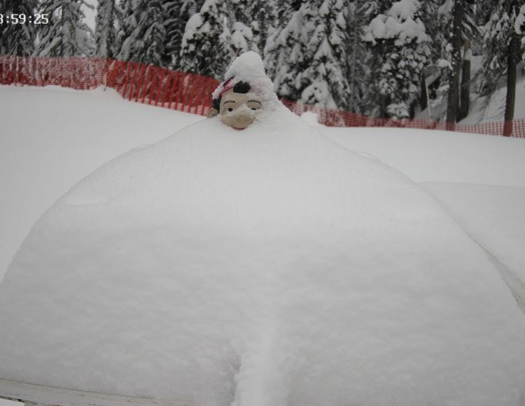
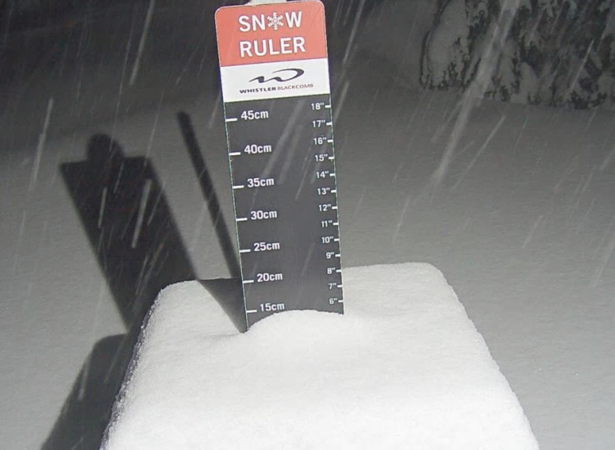
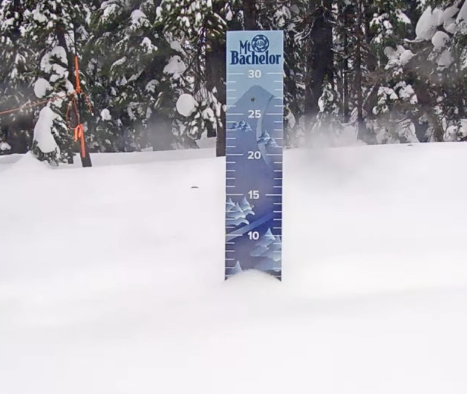
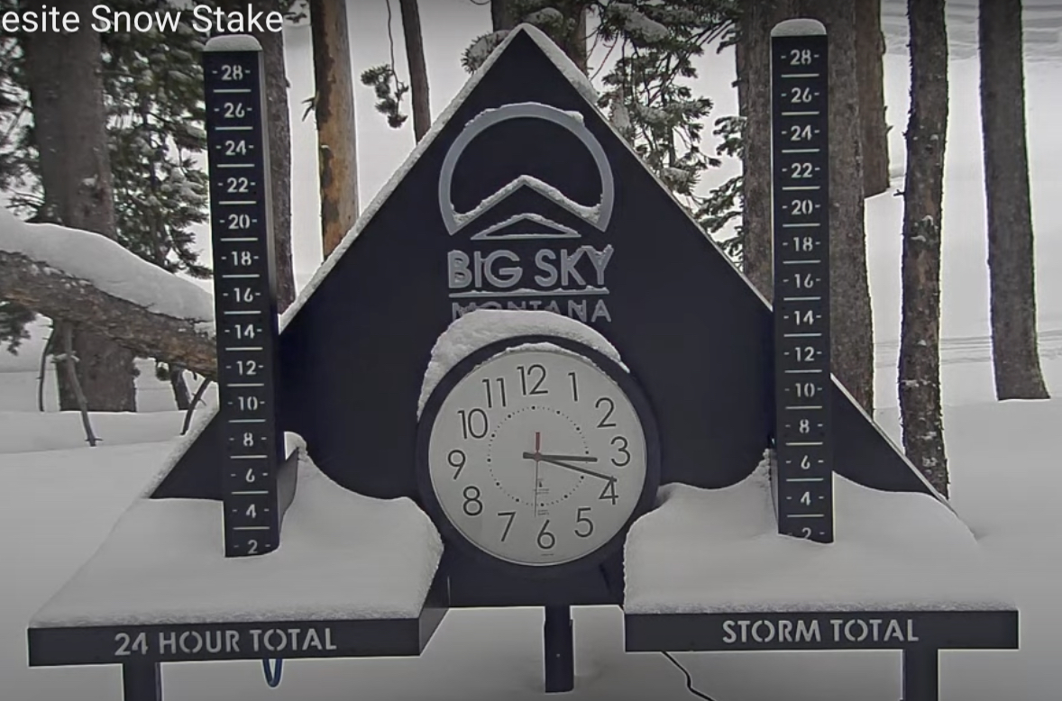
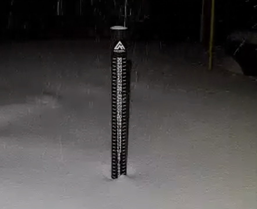
Snow Stake Cams…..Coming Soon Snow Stake Page
Forecast Summary, Nasty

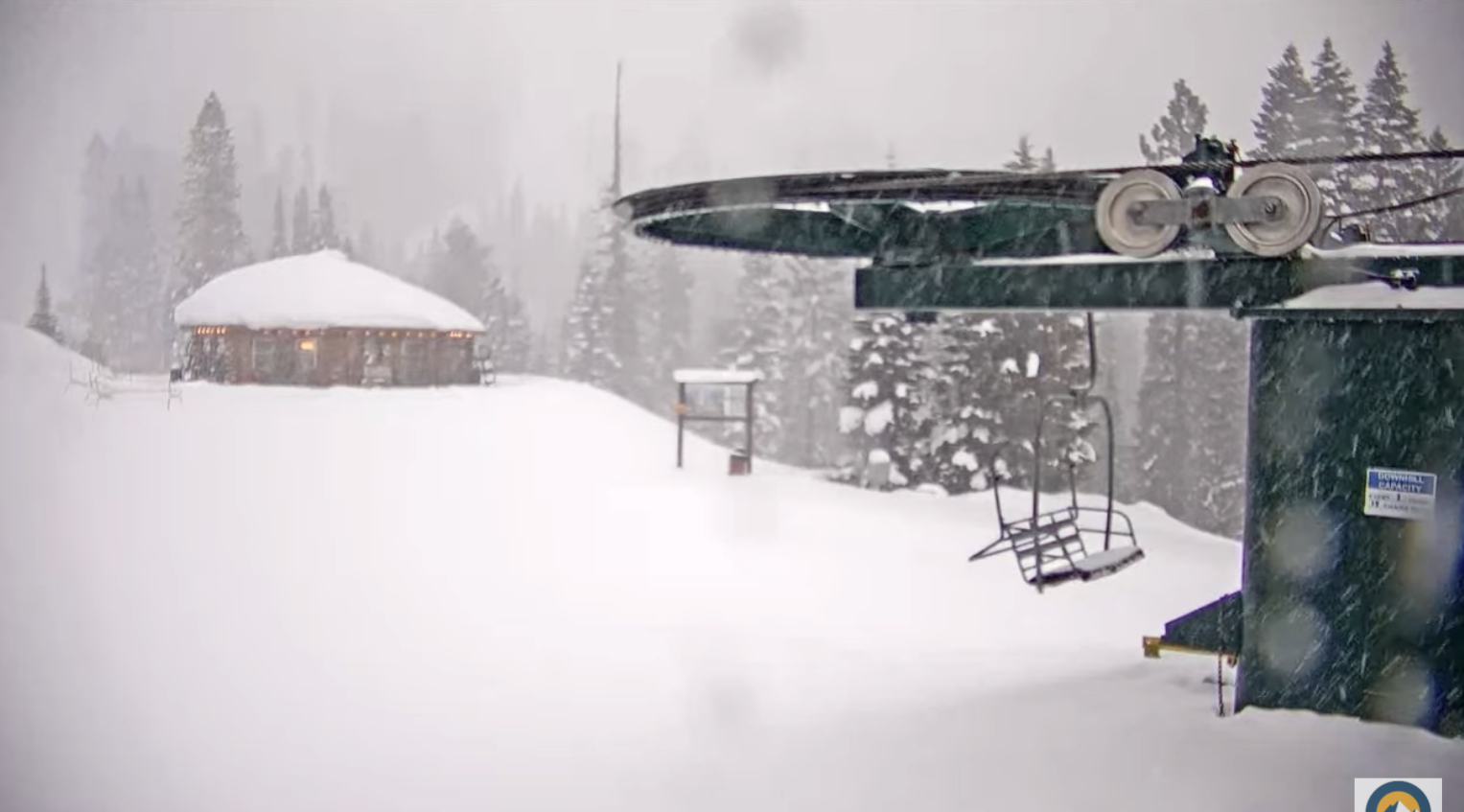
Bad day to ride in the Pacific Northwest, but plenty of moisture. Most resorts did not open due to freezing rain, not that you would want to go. Today is not going to be much better, more of the same, actually, with freezing rain thru Christmas Day. Freezing levels 5500 this morning raising to 8500, tomorrow even worse–8500-10,000. There has been snow at higher elevations, but that will be spoiled in the next couple of days. Wish I had better news. It begins to turn around by Tuesday.
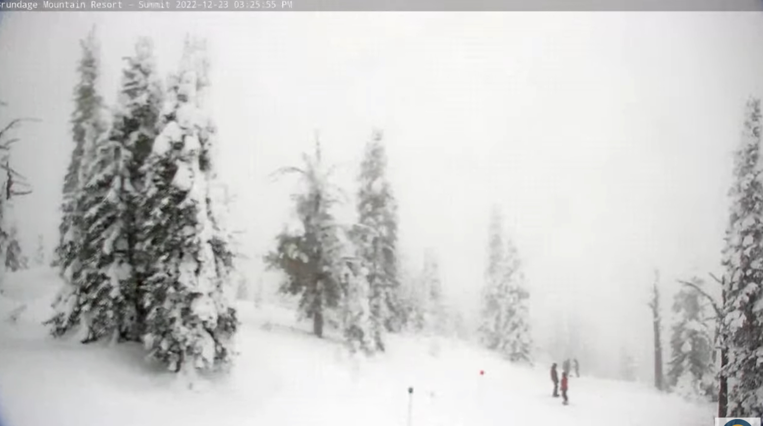
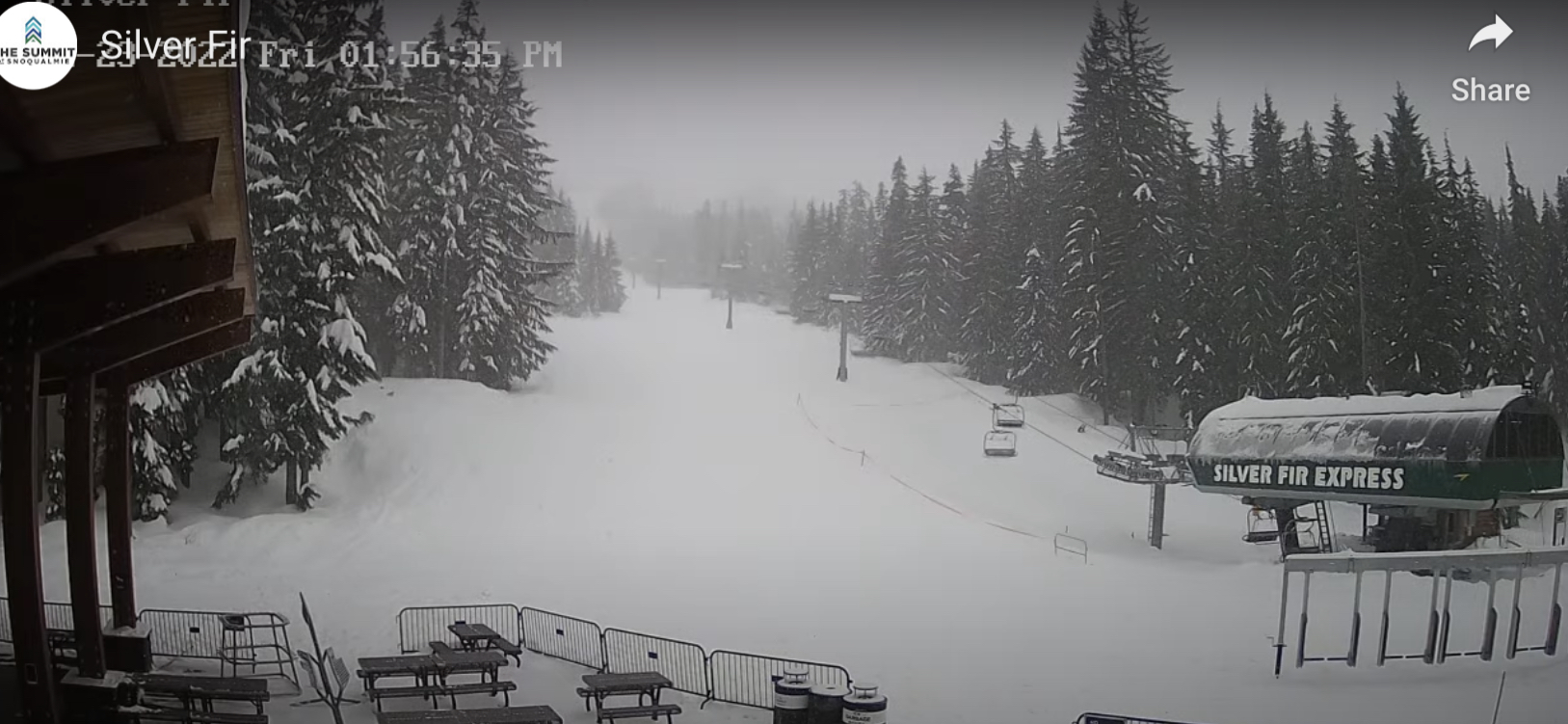
Best advice is to road trip it to northeast Washingtons 49 Degrees North, Idaho, or Canada. 49 Degrees North will have mainly snow, 3-5 expected today with temperatures in the mid 20.s. Next best would be Whistler. Freezing levels will be at base or below thru Christmas. Revelstoke is a haul, but they received just under a foot yesterday with more on the way. Idaho resorts are good, with Brundage receiving 14 in the last week with 6 in the last 24 hours.
Now the good news, By Tuesday, the next storm will be coming in and this is another big one. All indications are that we will have snow from Washington down to perhaps as far south as Mt Baldy in southern California.

The chart above breaks down the precipitation by type. There is a lot of moisture from this storm that will help to fill the reservoirs in California. This next GIF below shows the daily precipitation from December 1st to date. There have been many strong systems this year making national headlines, and each one of these massive storms will return with a different set of teleconnections, the next time they come through. Will they be as strong?

There will be some light snow showers today through Christmas for Utah and Colorado with not much accumulation expected. Sunday evening there is a small wave expected to come through the northern and central mountains of Colorado. We could get accumulations in the 2-6 range. Temperatures in the lower 30’s with colder temps near the divide.
The next impacting system hits the west overnight Monday. This is the Lake Tahoe system that Gary was talking. That will reach Utah by Tuesday and Colorado Tuesday night.
Have a great Christmas!
Thanks for reading the blog, as always if you have any questions, please ask in the comments below or send an email to Mike@FutureSnow.CO
Forecasted Areas
Pacific Northwest Cascade Mountains
Crystal Mountain, Mount Hood Meadows, Timberline, 49 Degrees North, Bachelor, Mt Baker,
Lake Tahoe Sierra Mountains
Heavenly, Palisades Tahoe, Kirkwood, Dodge Ridge, Donner Ski Ranch
Utah Wasatch Mountains
Alta, Park City, Deer Valley, Brighton, Snowbird, Brian Head
Colorado Rocky Mountains
Aspen, Aspen Highlands, Snowmass, Vail, Beaver Creek, Winter Park, Keystone, Arapahoe Basin, Breckenridge, Copper Mountain, Powderhorn, Ski Cooper, Telluride, Crested Butte, Silverton, Wolf Creek, Eldora, Loveland
