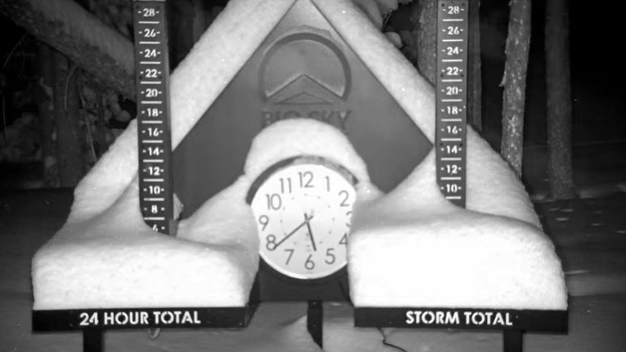
Summary
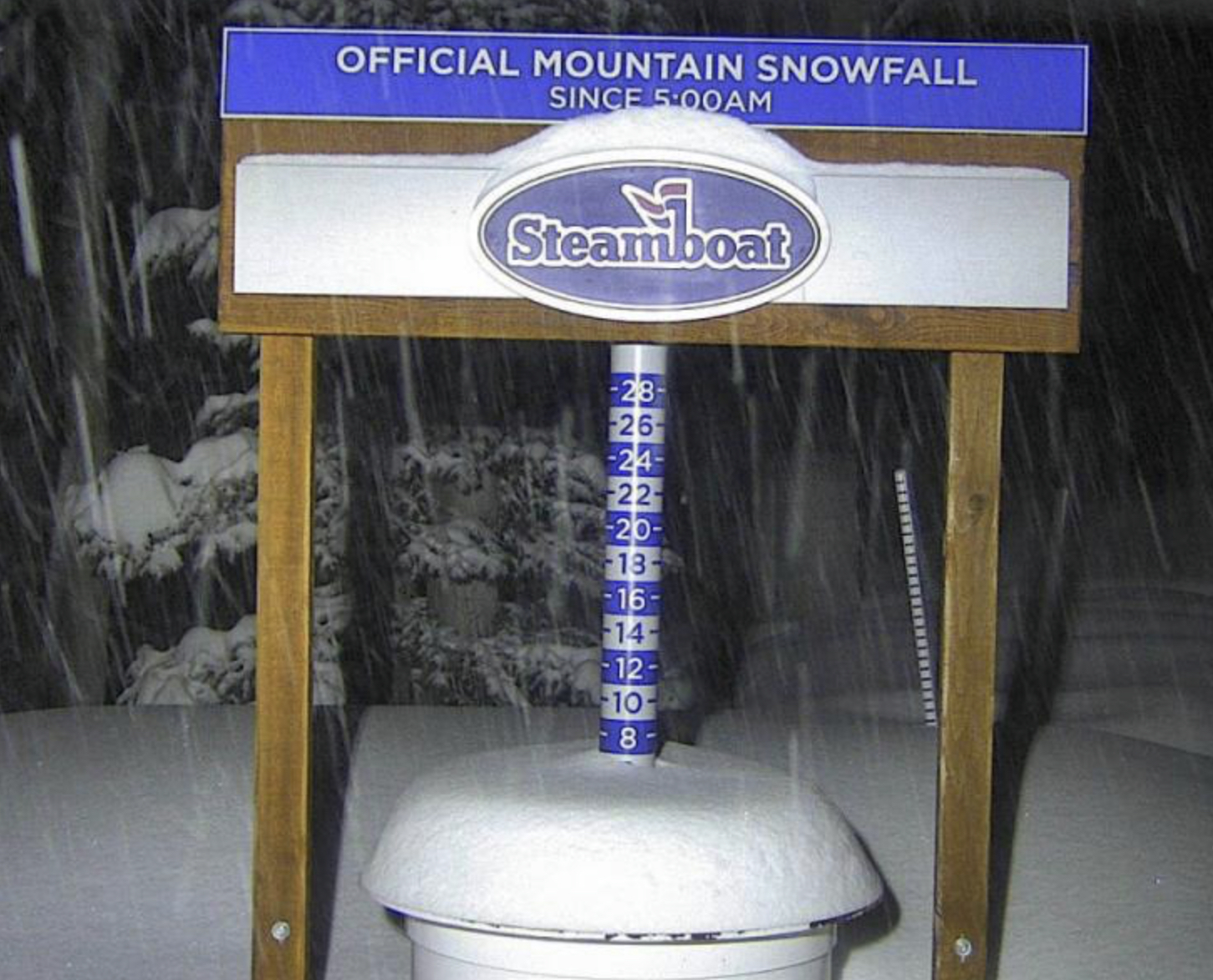
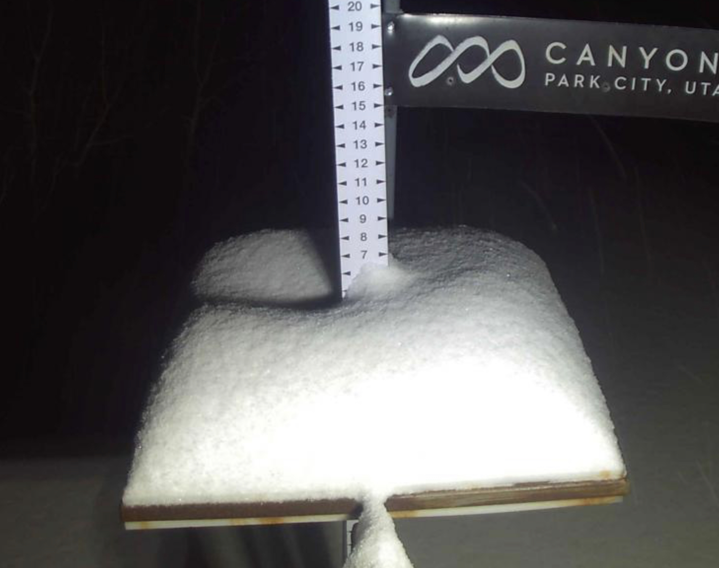
The second wave that we have been talking about the last week has finally made its way through the Pacific Northwest, Tahoe and now in progress in Utah and Colorado. It is nice that winter is back in full swing, in fact, one of my best powder days was in the latter part of April. I was snowboarding, at Arapahoe Basin, after a 13 inch dump the night before and it snowed all day, with white-out conditions. It wasn’t the first time I had gotten white-out vertigo, so I knew how to handle it. Pretty cool though, the only thing you can see is white.
We are entering the Active West part of the Pattern. We are in day 2 of Cycle 4. Here are the storms that will come through this cycle and a little history for each storm.
April 16-18 U-Storm This storm is the first wave of the Trifecta and has hit all 3 cycles. Last cycle was puny due to the double barrel high pressure, but still hit. Cycle 2 was epic 2 ft in PNW, Colorado and Utah (cycle 1 was rain, CO and UT).
April 22-24 Trifecta 2 waves: Rain cycle 1 for PNW, between 10-18″ for Colorado resorts, over 2 feet for Utah’s Cottonwoods. Cycle 2: Crystal 30, Snowbird 32, and Crested Butte 31. Cycle 3 Mt Hood (Timberline) Alta 7, Vail 7
April 28-29 This storm hit in Cycles 1 and 2 and was 2 days late in Cycle 3. Cycle 2 had rain for the PNW
May 5 (Tahoe AR Oct 25) Epic 100″ week in Cycle 2 with 39″ 1-day total in Cycle 1. However, in Cycle 3 the storm was caught up in the double-barrel high and that pushed the storm up in Canada.
May 7-8 Good storm all three cycles for Colorado and Utah with double-digit totals for all 3 Cycles with Cycle 2 the winner.
May 13-14 Storm hit Colorado all 3 cycles and missed north of Utah in Cycle 1
May 17 Missed Utah and Colorado to the north in Cycle 1, but hit in both Cycle 2-3
May 20-21 Last storm of Active West Small system due to the weakening Active West pattern and transition to the Northern Pattern. Hit in all 3 cycles for Utah and Colorado
June 5-6 AR 4th Straight for Seattle?
Forecast
Heavy Snow today with high temperatures in the upper 20’s. Moderate winds in the northern Cascades with 30 mph gusts.
For the northern Cascades expect 5 to 10 inches today, with another 4 to 8 overnight. Southern Cascades resorts Timberline and Mt Hood Meadows, we are talking want to 1-2 feet today.
Tuesday the bulk of the snow will fall during the day. Models suggest most mountains will be in the 4 to 8 range, with a few spots in the 6 to 12 range.
Wednesday morning will be the best powder. Wednesday will bring cold temps with highs only in the low 20s. Expect heavy winds both Tuesday and Wednesday with gusts up to 40 mph.
