Posted March 24, 6:09 am MT 5:09 am PT
Updated March 25 5:49 MT
Updated March 25 7:36 MT
Less than a half inch to go

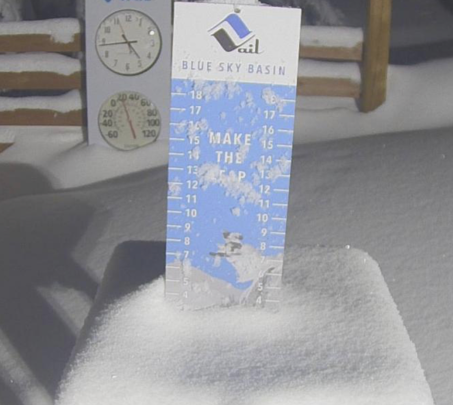
Below is a collage of snow stake pics, 63, from this record-breaking year.

Yesterday Afternoon

This Morning
Alta is at 748- and has tied the all-time record. Looking at the radar, they should break the record this morning! We will watch the snow stake for the “Golden Inch” and post when its reached.
Highway 210 to Alta/Snowbird is closed and is expected to open at 8:30


MSLP Surface Chart
 High Resolution HRRR Model Click to Animate


Pacific Northwest
Forecast Discussion
Heavy snow in the southern Cascades, Wasatch, and western Colorado this morning and all of Colorado, by this afternoon. We will see 1-2 feet in the Cascades and Cottonwoods with leftovers for Colorado.
Utah,

 Today Ride the Storm
Heavy snow throughout the day with moderate winds between 20-25 mph with gust in the 30’s.
Tomorrow
Snow but not as heavy as today. Temperatures in the low teens for highs with winds between 15-20 so wind chills will be in the negative 10’s–so dress warm.
Saturday
More snow with modest amounts between 3-5, generally. Temps will be similar to Saturdays with winds between 10-15 mph.

Colorado

 Today
Today
Snow begins this morning for western areas like Powderhorn and by 3 o’clock for the rest of the resorts. Temperatures will be in the low 30’s with light winds. Most of the snowfall will occur after the lifts close.
Tonight
Heavy snow overnight with moderate winds. The cold air from Utah hits overnight dropping the temperature into the single digits.
Tomorrow
Snow showers will continue through the morning and move out in the afternoon. Temperatures will be in the mid-teens with winds between 10-15 mph with strong winds along the divide, between 20-30 mph with gusts in the40’s.

Lake Tahoe
Today
Bluebird skies and low temps, near 30 at 6000 feet. It will be a gorgeous day with light winds from the west. Don’t forget sunscreen.
Next System
Possible Scattered snow showers on Saturday, otherwise the next system should hit sometime on Tuesday.
Tahoe Calendar
Below is the Lake Tahoe Calendar we published back on February 2nd. I have gone back and took a look at the calendars to see how we have done. The green squares are on the Long-Range Forecast prediction chart. Yellow squares are storms that have hit at least one cycle. Red Circles and X’s are misses and the Blue brackets are storms that have hit at within one day.
I am really happy with this calendar. We have tried to figure out the Lake, as it is on a different type of cycle, due to its location away from the general pattern jet stream. We are improving, the patent pending model has made forecasting Lake Tahoe easier.

Long-Range Forecast Predictions are out thru April

Forecasted Areas
Pacific Northwest Cascade Mountains
Crystal Mountain, Mount Hood Meadows, Timberline, 49 Degrees North, Bachelor, Mt Baker,
Lake Tahoe Sierra Mountains
Heavenly, Palisades Tahoe, Kirkwood, Dodge Ridge, Donner Ski Ranch
Utah Wasatch Mountains
Alta, Park City, Deer Valley, Brighton, Snowbird, Brian Head
Colorado Rocky Mountains
Aspen, Aspen Highlands, Snowmass, Vail, Beaver Creek, Winter Park, Keystone, Arapahoe Basin, Breckenridge, Copper Mountain, Powderhorn, Ski Cooper, Telluride, Crested Butte, Silverton, Wolf Creek, Eldora, Loveland
