
Pattern Discussion
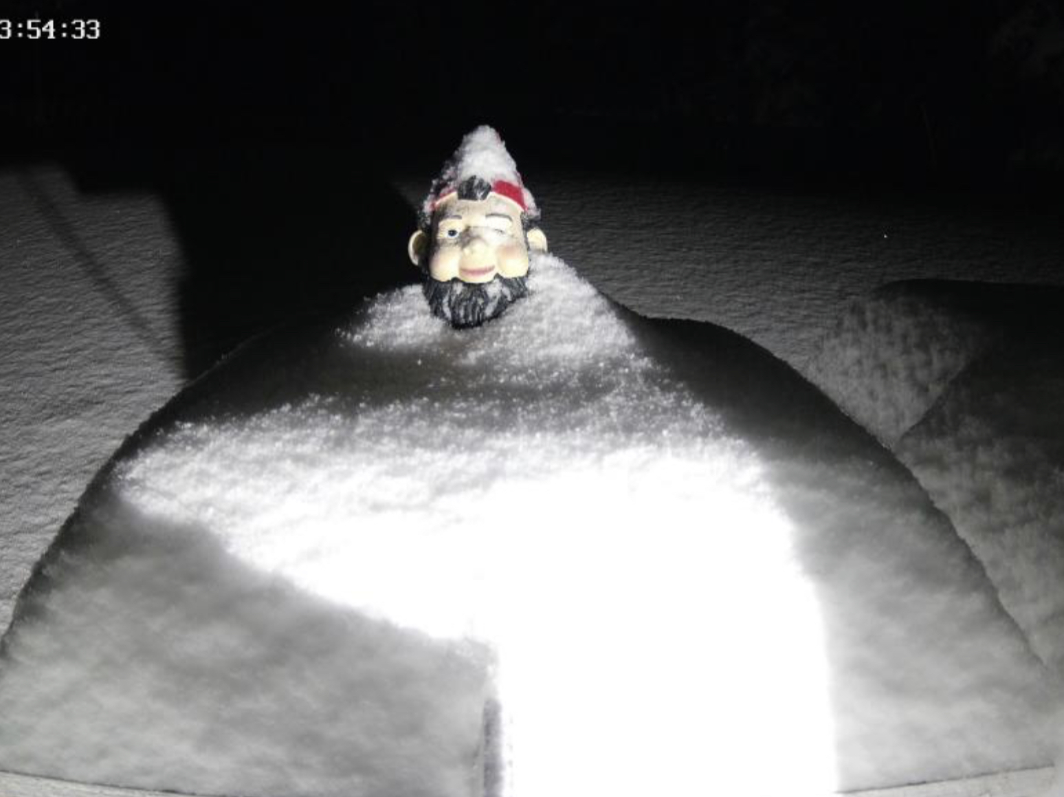
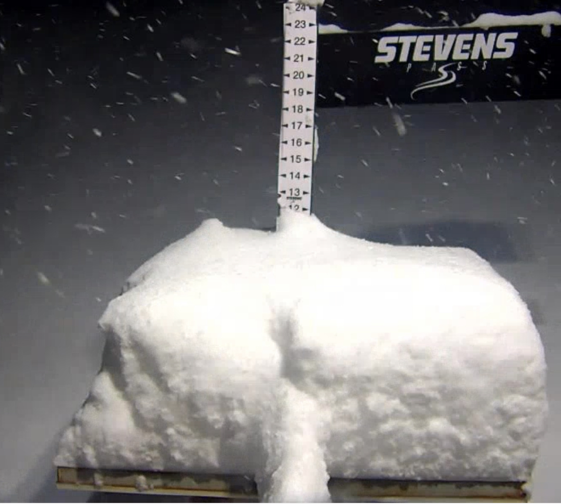
Here we go again for the Pacific Northwest. There were impressive totals at Baker, Whistler, Hood and Stevens. There were wind closures, road closures and resort closures.
Those winds reached Colorado resorts yesterday and there were several lift closures due to 80 mph gusts at 10,000 ft, Vail and Loveland mountains closed early due to the high winds. Breckenridge had upper mountain closures.
Today and tomorrow will be nice bluebird skies for the Cascades before the next storm is in the Chamber.
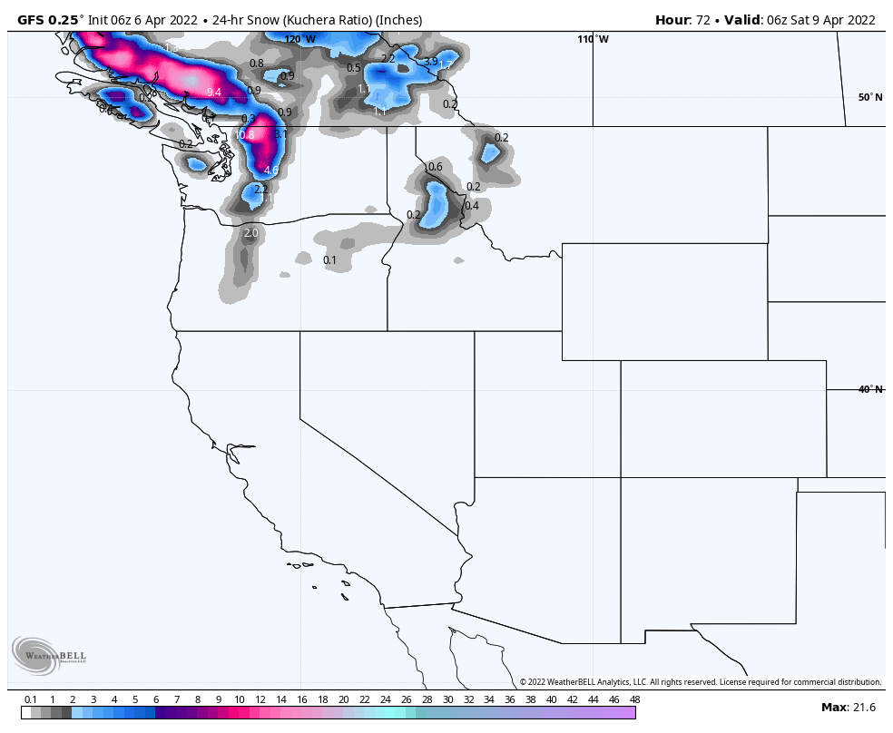
This next storm has two waves with the first arriving on Saturday April 9th to the PNW. The first system is the last day of Cycle 3 with the second storm beginning cycle 4.

The first wave will slide across Idaho and Wyoming, before exiting through Minnesota. It is followed by a second wave that hits southern Oregon and California overnight Monday, then reaching Utah and Colorado overnight Tuesday.
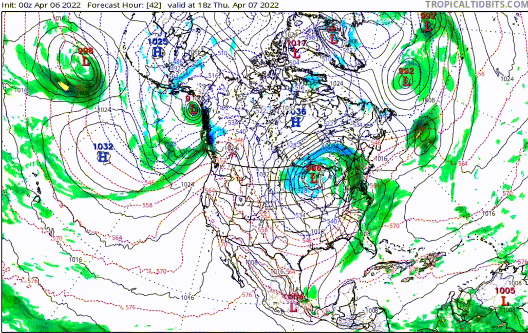
The following GIF shows the two storm paths
We will dive into this in more detail tomorrow. Thanks for reading the blog! Mike