
Summary
Next up, for the Pacific Northwest, is a 1, 2 punch with back-to-back storms. The first storm arrives before 8 am Friday morning, to the northern Cascades and around 10 for the southern Cascades. It will start out warm, but temperatures will fall, along with freezing levels, throughout the day. This storm will not be windy!
Part 2 begins Sunday afternoon. This wave will bring snow to the Sierra, Wasatch and Rockies. Belows GIF shows the two storms through Wednesday.
Forecast
Bluebird skies today with high temperatures near 50 for the Cascades. Snow levels will be above 10,000 feet lowering to 1,000 feet by tomorrow morning. Snow begins in early morning in the northern Cascades, by 8 am, and by 10 am in the southern Cascades. Precipitation will most likely be light until after the lifts close. Probably just a couple three, then 2-4 overnight. Light winds.
Saturday
Snow totals for Saturday will be in the 1-3, 2-4 range for most mountains, with more of the same for Saturday night. Temperatures will be in the upper 20’s at base level (Crystal, Mt Hood, Mt Baker, Stevens).
Saturday Night
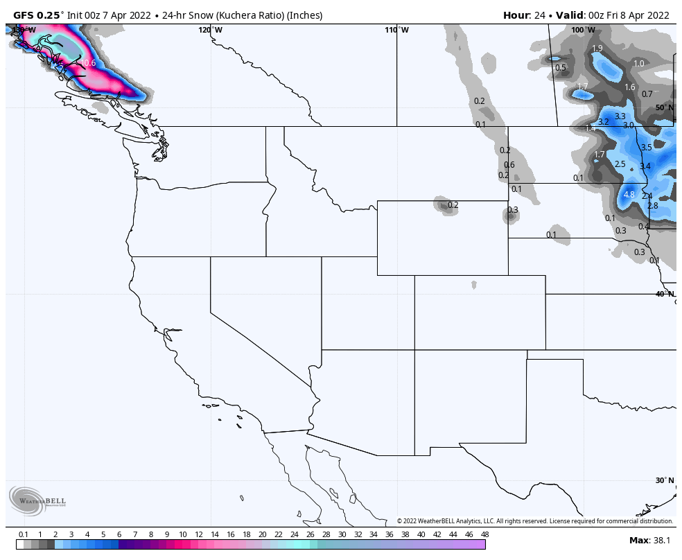
This system may clip northern Colorado by Saturday night and into Sunday.
Sunday
The next wave begins Sunday Afternoon, and this system will dive down the coast towards Tahoe and turn towards Utah and Colorado–reaching those locations by Tuesday and Wednesday.
