Summary
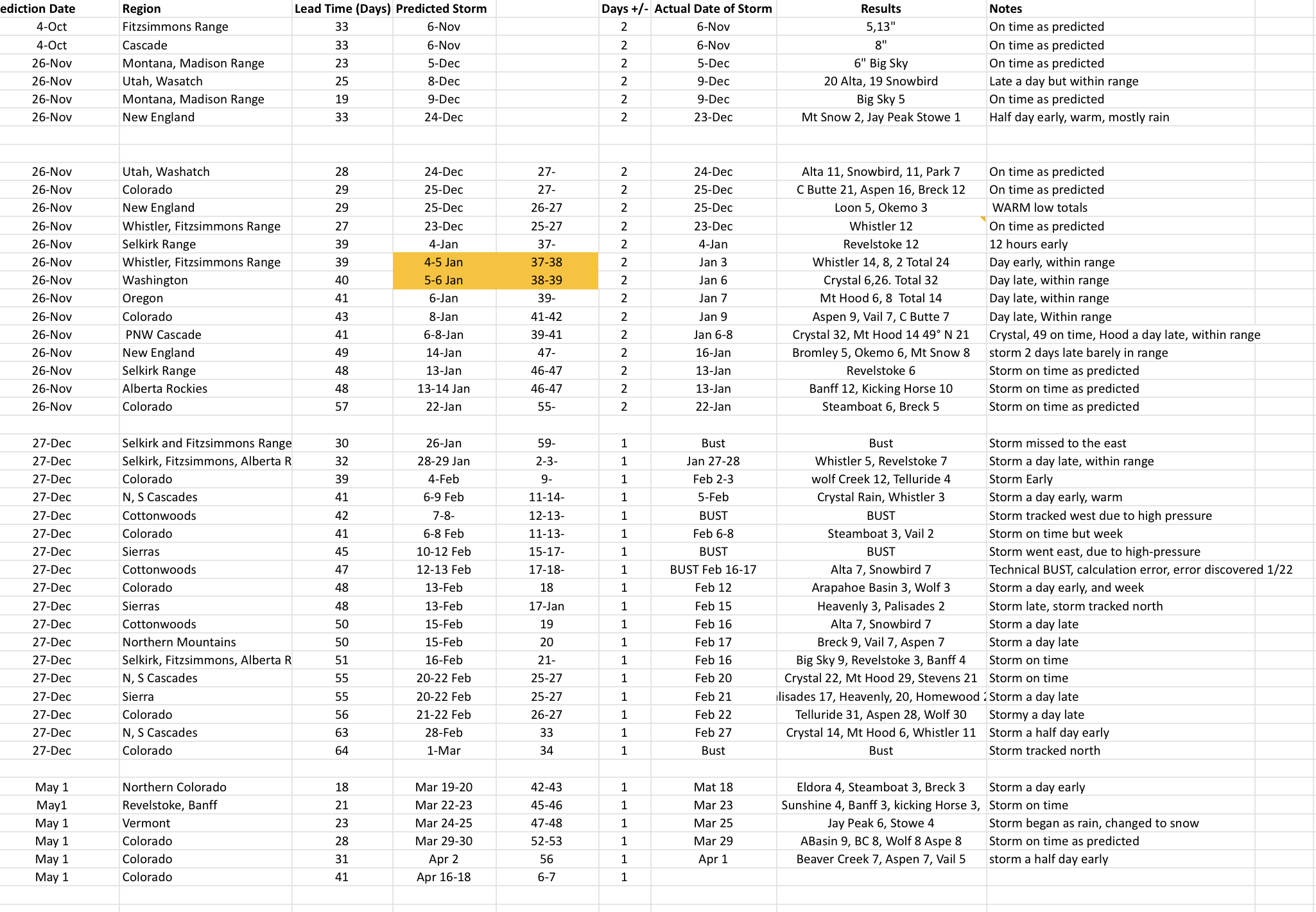
Winter continues for the west as the next system is spinning off the coast and will arrive to the Tahoe basin tonight. This is a small system, in stacher only, as this one has a lot of energy. I don’t show the 500 millibar height with vorticity chart very often, but it is essential to understanding the pattern and is a good indicator of the strength of a storm. 1000 mb is sea level so, 500 mb is about halfway up in the atmosphere, where all of the action is.
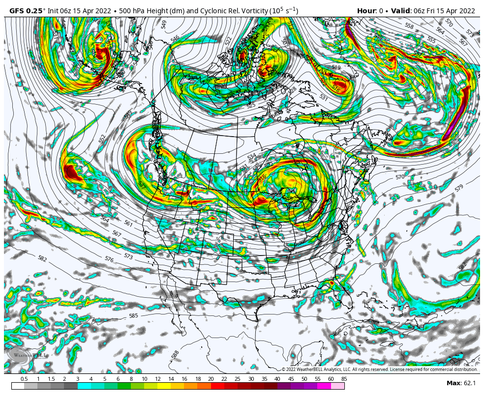
Watch the little storm slide into Tahoe reading in the 50’s on the vorticity scale. It quickly dissipates, as it makes landfall, but refires as it moves into Kansas and Oklahoma. As the GIF plays, you can see the next couple of systems come through. Below is the same time frame, but with MSLP (Mean Sea Level Pressure) chart. That is a lot of precipitation for California.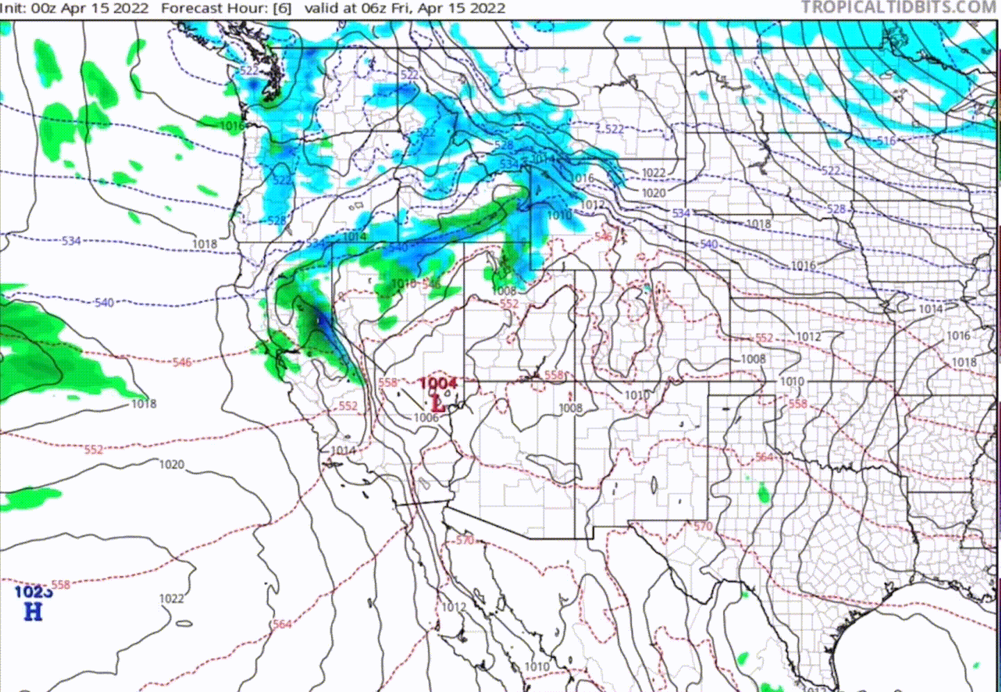
Stoke
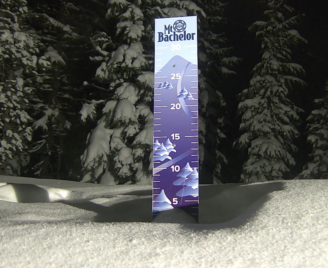


Tahoe Forecast
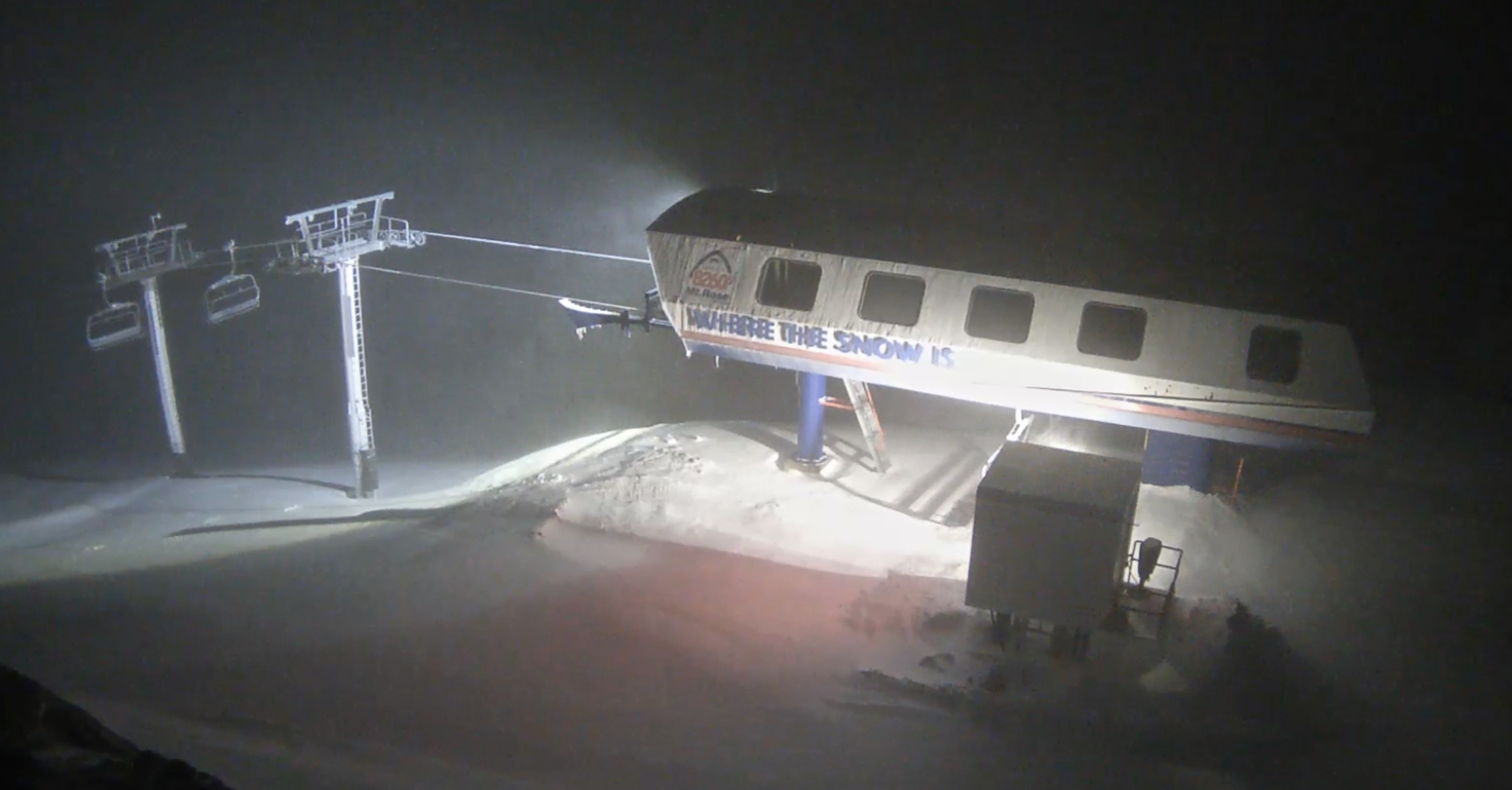
Friday night, expect 2-4 before the lifts start on Saturday morning with another 4-8 throughout the day. Friday night and Saturday snow levels around 5800 rising to around 7000+ on Saturday. Strong winds up top with likely lift closures and rain likely at the base with a mix above. Bring your goggle scrapers!
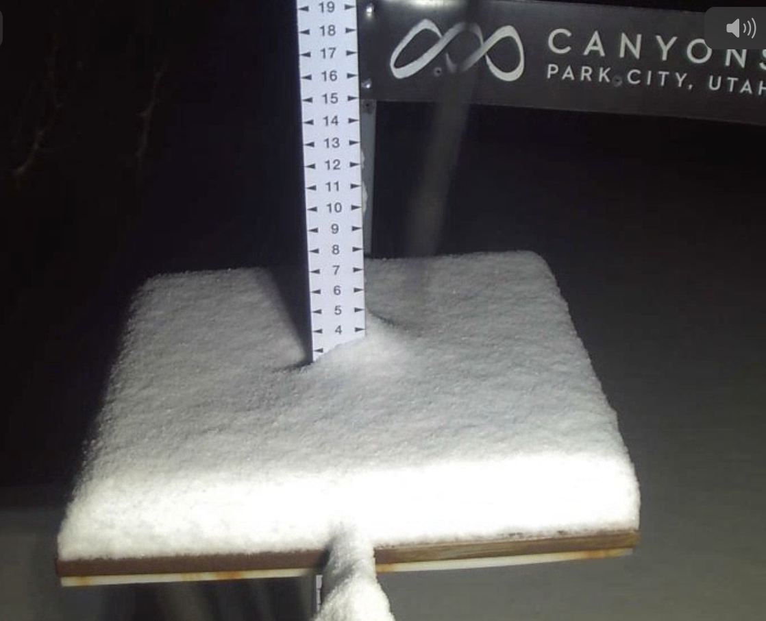
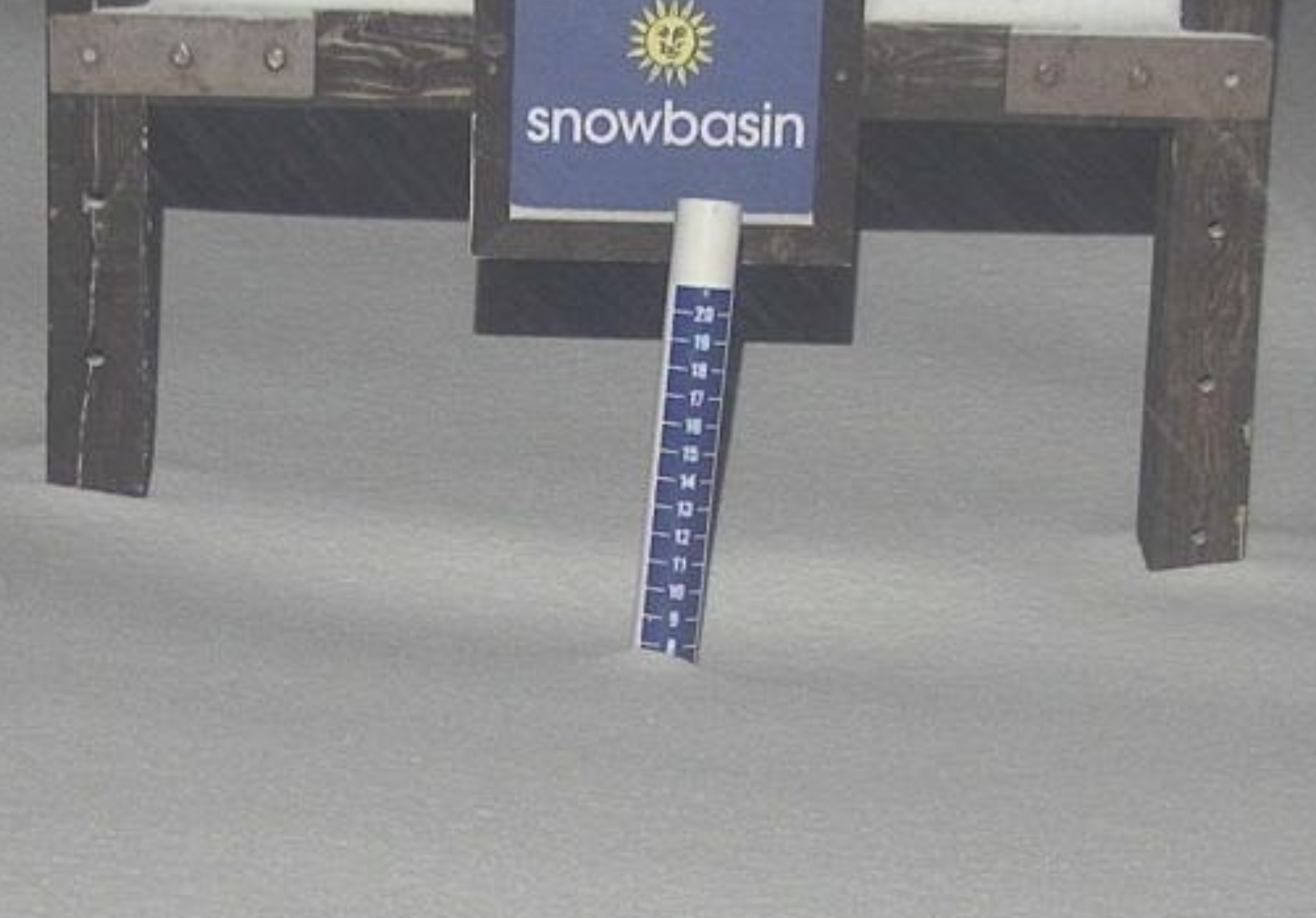
Utah Forecast
That system makes it to Utah tomorrow afternoon, hot much expected as this storm is weakening, however I do expect 1-3 during the day with another 1-3 Saturday night. Temps will be warm, in the mid 30’s at base level Saturday lowering to the mid 20’s Saturday night.
Colorado Forecast
The storm reaches northern Colorado Saturday afternoon and Saturday night. Snow levels will be a problem Saturday day with temps around 50 at 7500ft–yikes! Snow levels fall to base level overnight so the timing of this system will be critical.
Upcoming Pattern Storms through June
Below are storms in the pattern that are significant and have repeated at least twice. We have a long cycle length of 64 days, that is the second longest length in the last 20 years. The average cycle length, over the last 20 years is 53 days. The shortest was 38 days and the longest was 75. The long cycle length has a possible connection to the following years El Nino Southern Oscillation (ENSO). Sixty four percent of the time, after a significant jump in cycle length, the following year was an El Nino year.
April 16-18 This storm is the first wave of the Trifecta and has hit all 3 cycles. Last cycle was puny in size and strength, due to the double barrel high pressure, but still hit. Cycle 2 was epic with over 2 ft in PNW, Colorado and Utah. Cycle 1 was warm with rain in CO and UT.
April 22-24 Trifecta 2 waves: Rain cycle 1 for PNW, between 10-18″ for Colorado resorts, over 2 feet for Utah’s Cottonwoods. Cycle 2: Crystal 30, Snowbird 32, and Crested Butte 31. Cycle 3 Mt Hood (Timberline) Alta 7, Vail 7
April 28-29 This storm hit in Cycles 1 and 2 and was 2 days late in Cycle 3. Cycle 2 had rain for the PNW
May 5 (Tahoe AR Oct 25) Epic 100″ week in Cycle 2 with 39″ 1-day total in Cycle 1.However, in Cycle 3 the storm was caught up in the double-barrel high and that pushed the storm up in Canada.
May 7-8 Good storm all three cycles for Colorado and Utah with double-digit totals for all 3 Cycles with Cycle 2 the winner. If you are looking for a powder day in May, this is the one to watch. Arapahoe Basin time?
May 13-14 Storm hit Colorado all 3 cycles and missed to the north of Utah, in Cycle 1
May 17 Missed Utah and Colorado to the north in Cycle 1, but hit in both Cycle 2-3
May 20-21 Last storm of Active West Small system due to the weakening Active West pattern and transition to the Northern Pattern. Hit in all 3 cycles for Utah and Colorado
June 5-6 AR 4th Straight for Seattle?
Updated Prediction Chart