
Summary
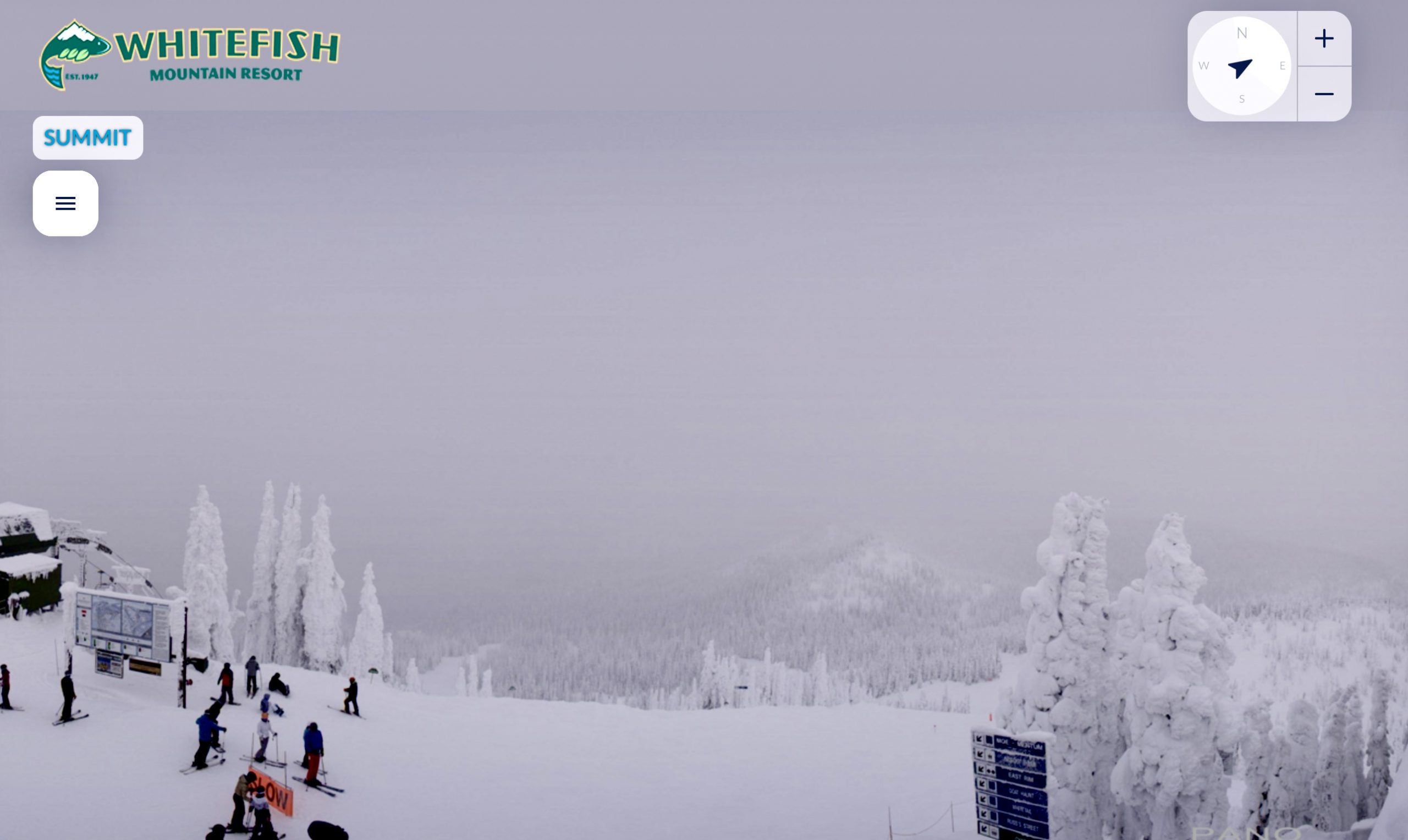
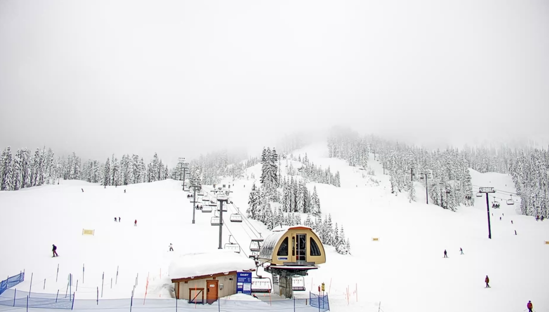
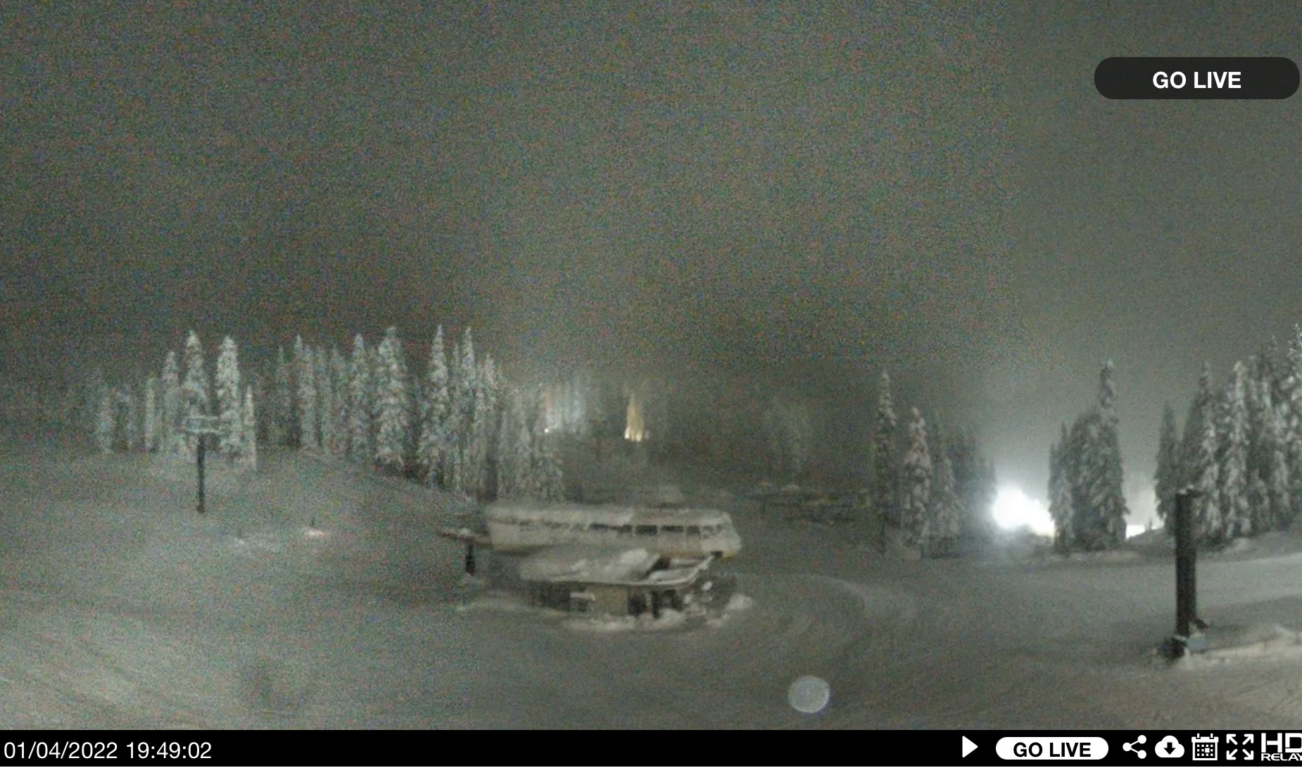
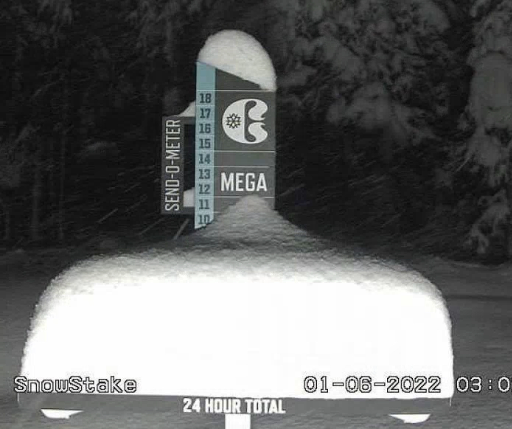
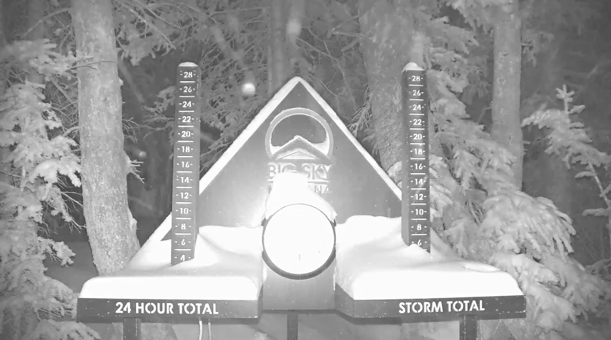
There is a place in Montana where they call the trees Snow Ghosts–Whitefish Mountain. The reason they call the trees Snow Ghosts is they get completely covered in snow. The trees in Oregon are beginning to look like that. Check out the Stoke from yesterday. Top that off with the fact that a lot of resorts were closed yesterday, and today, so the powder is phenomenal. But you got to get it fast because snow levels are on the rise.
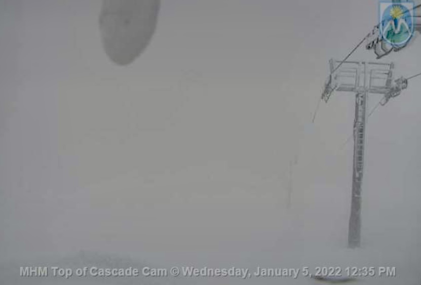
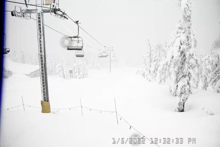
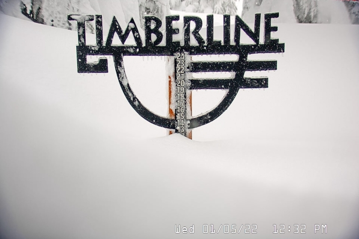
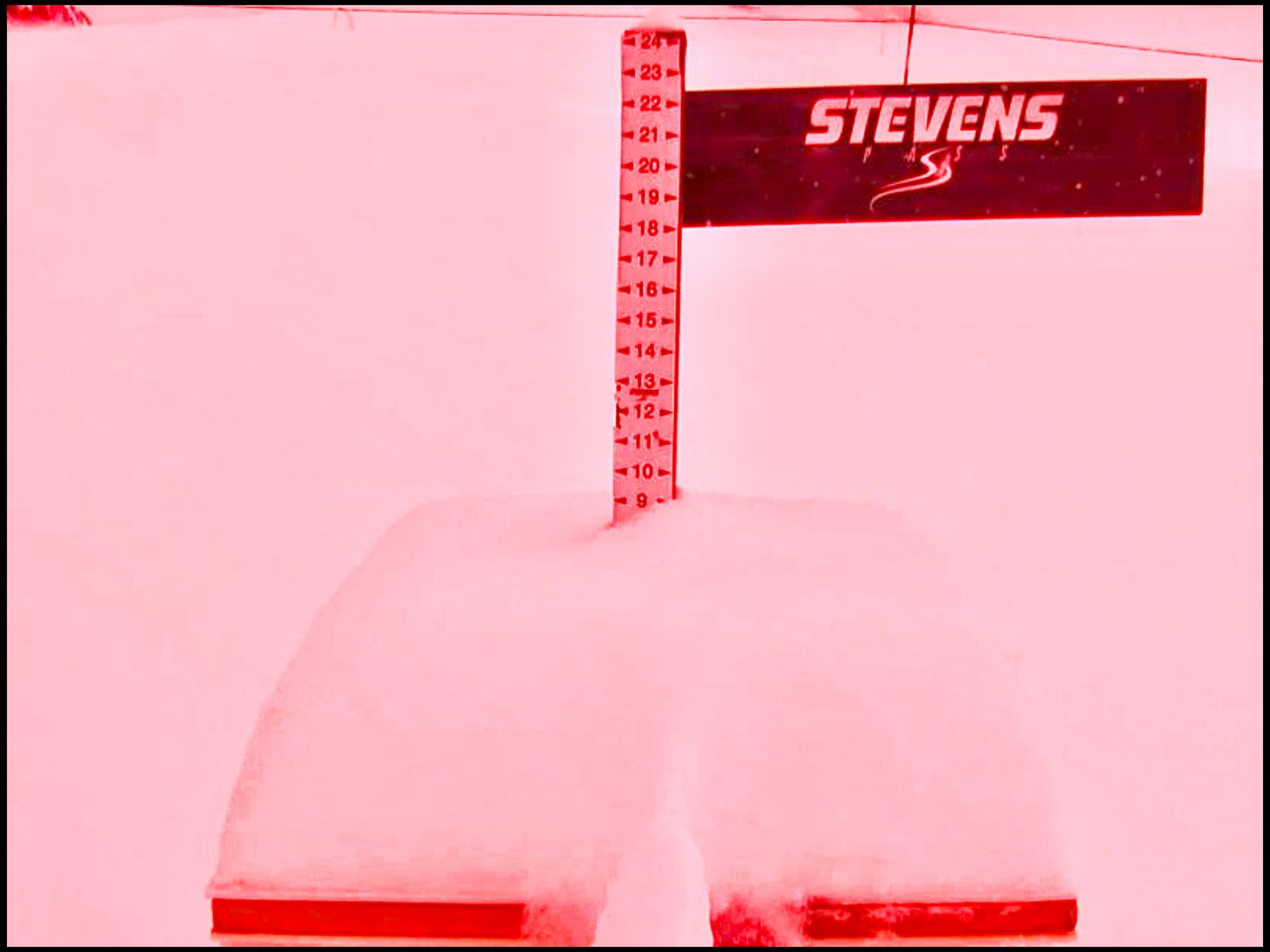
Snow has been pounding the PNW with some resorts over 2 ft last night with another 1-2 ft in the Forecast.
Stoke


Today
 PNW
PNW
Northern Cascades: Heavy snow today with warm temps, but wind chills in the teens. Snow levels start the day at 4000 and rising throughout the day until it’s probably all rain up to the pass. Heavy Scotch Gard Warning today to stay dry. Snow Levels drop after sunset, and it will change back to snow with 6-10 expected.
Southern Cascades: Rain with snow levels rising up to 9000 ft. High of 40 at 6000 ft. Temps fall after sunset and the rain will change back to snow. 4-6 expected overnight.
Utah
Snow today with minor accumulations of 3-5 as the system exits to the east. Breezy, with steady winds of 15-20 with 30 mph gusts. Lower totals for resorts like Deer Valley with its lower elevation.
Colorado
Powder day with most mountains north of I-70 receiving between 8-15. Snow showers today and windy with gusts between 25-35 mph. Additional accumulation of 2-4 before the system departs this afternoon.
Tomorrow
PNW
Northern Cascades: Thick heavy snow and windy with gusts up to 55 mph. Freezing levels dropping throughout the day to the valley floor. Snow range is 4-8 for most mountains with possibly higher amounts around 49 Degrees North due to colder temps at that latitude.
Southern Cascades: Temps colder Friday, but still warm. Freezing levels around 5000 ft falling to valley level by afternoon. A solid refresh is expected of 10-15 inches with dry air by late evening. Saturday morning should be good.
Utah
Not much snow expected. Next system comes thru Friday night early Saturday morning.
Colorado
Bluebird skies and warm temps. Next system comes thru Saturday.
Calendars


Predictions Chart (12/12)
