Nov 12, 2024
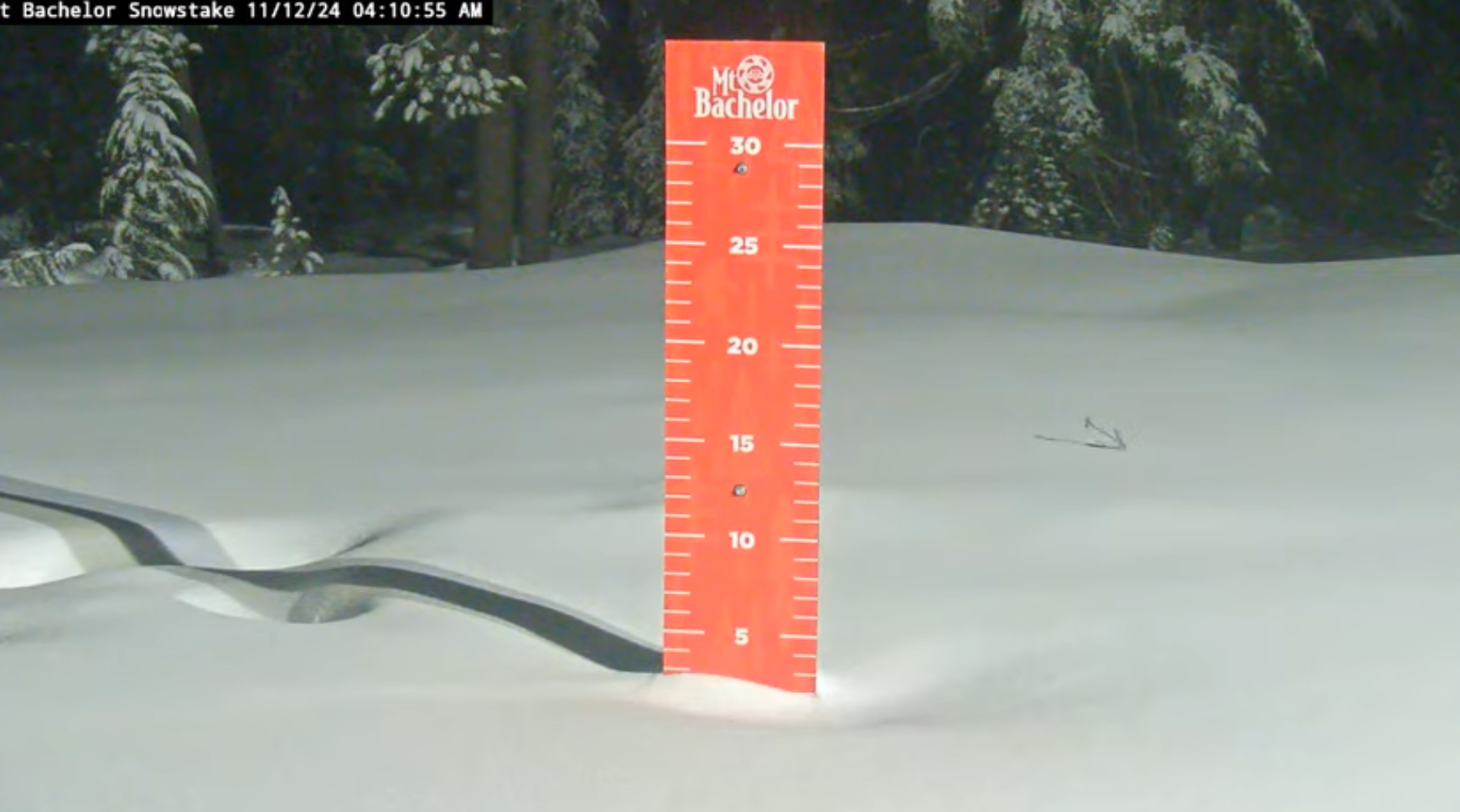
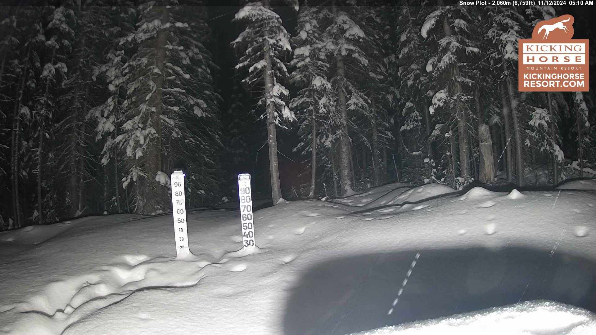
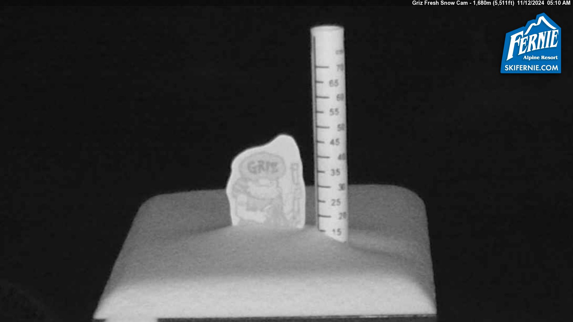
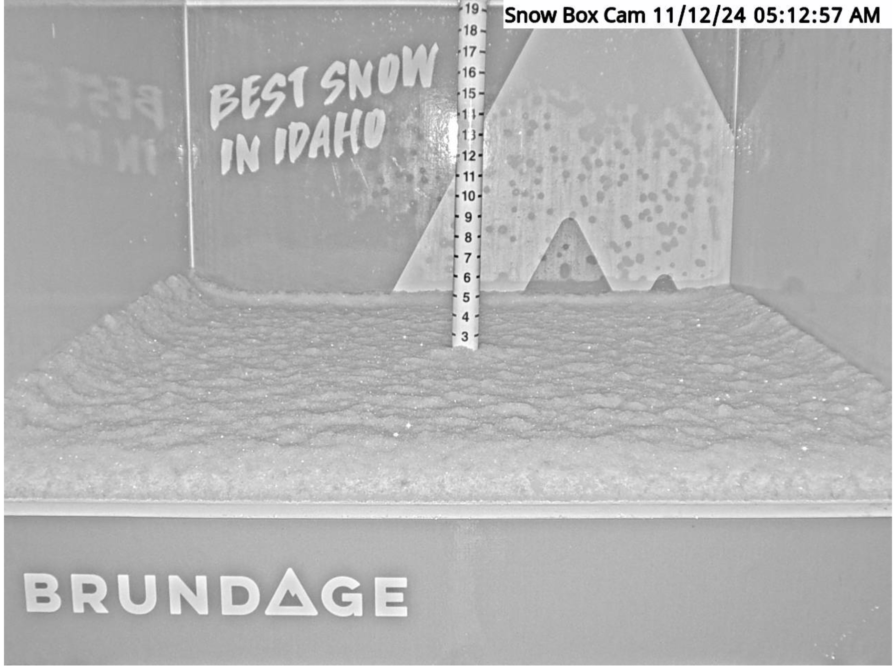
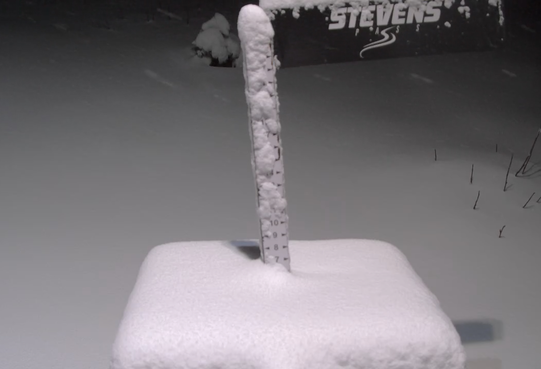
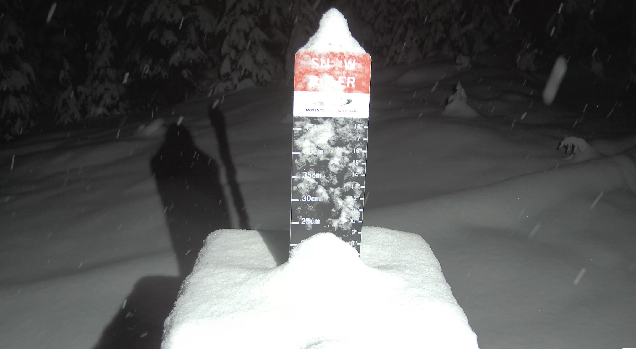
Daily Snow Stake
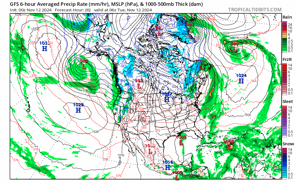
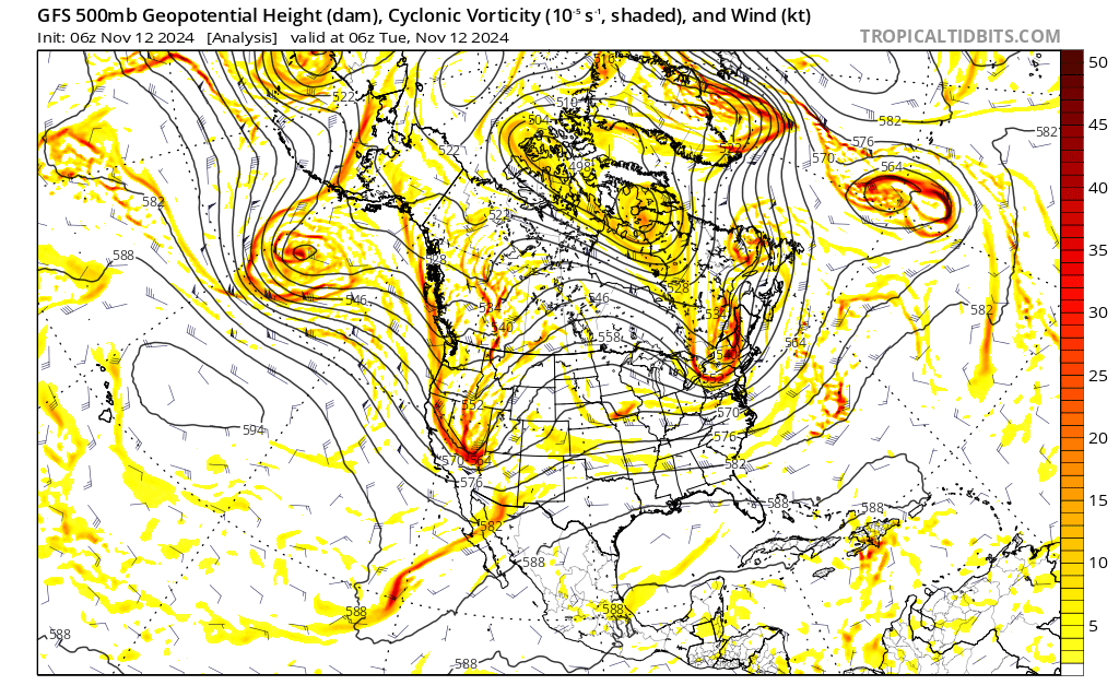
GFS All Snow Let it Go, 500mb Flow, Click/Animate
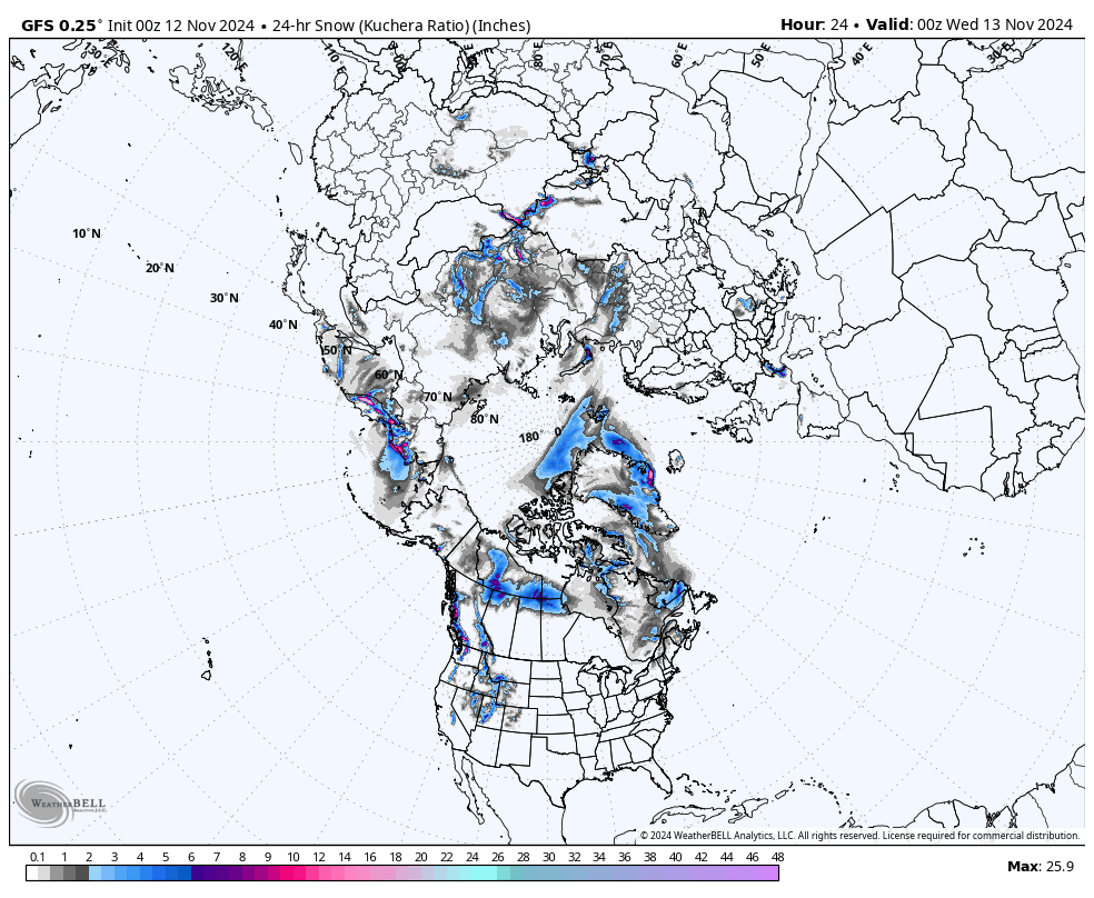
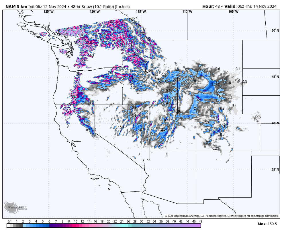
Two Day Totals (48hr)
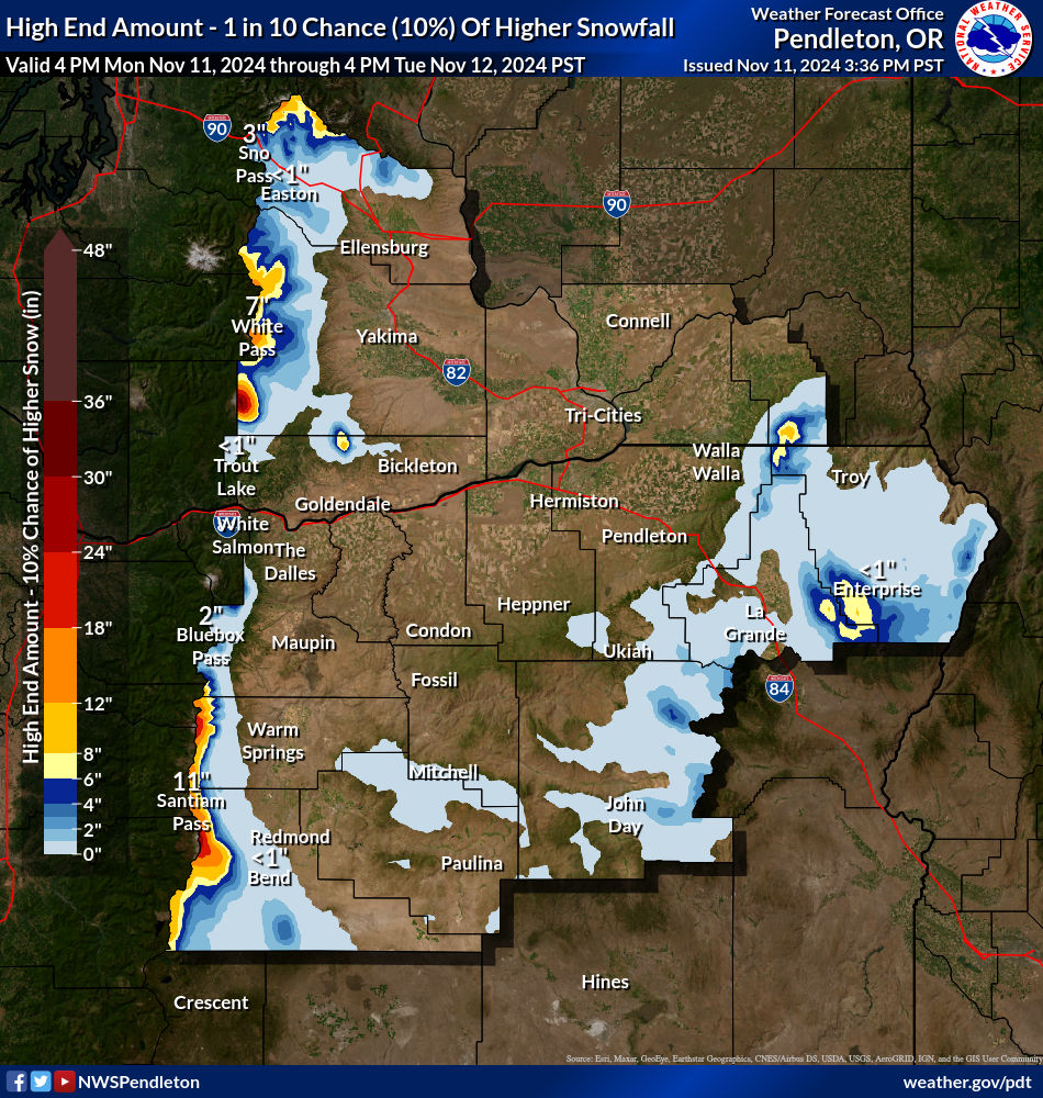
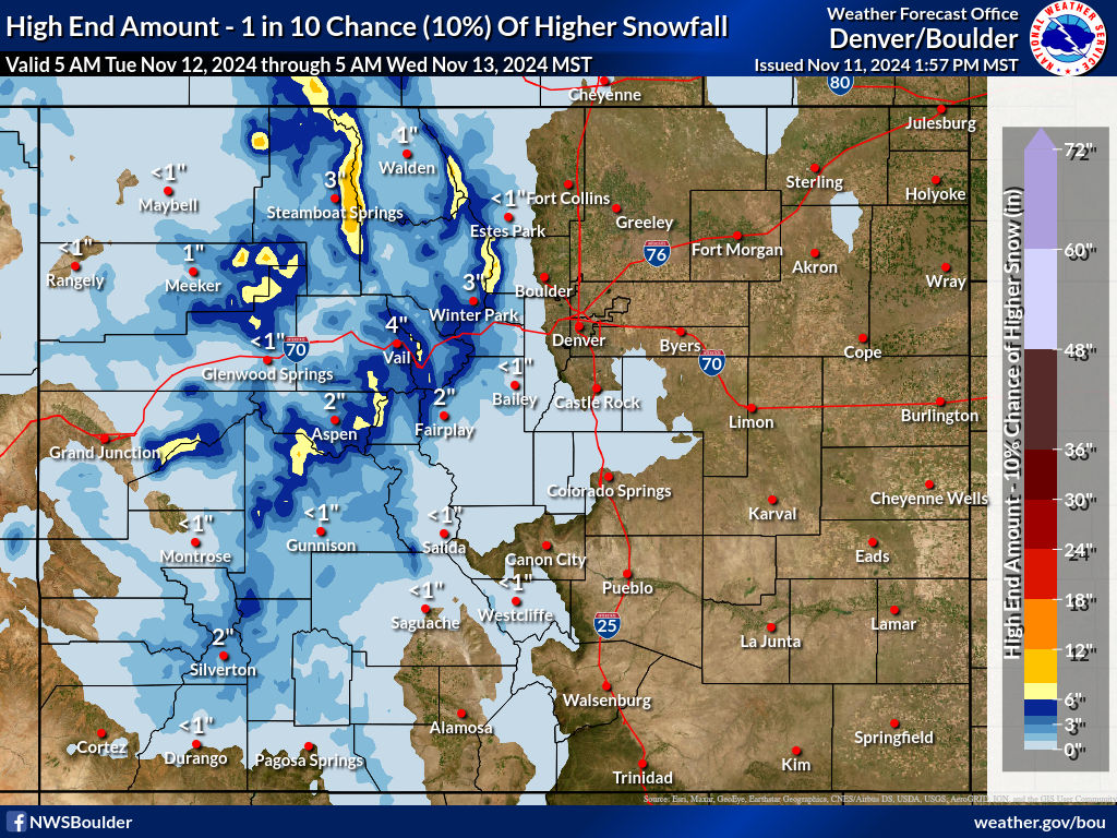
Snow Totals from the NWS thru Wednesday
Forecast
Summary
The first wave is thru the PNW and Lake Tahoe and performed about what we expected. The second wave will be moving in the Pacific Northwest tonight and will slide into Tahoe tomorrow. Heavy snow expected for the Cascades where 6-10 is likely for Crystal Mountain, Mt Baker, Mt Hood and Mt Bachelor by late tonight. Tomorrow expect another round of the same.
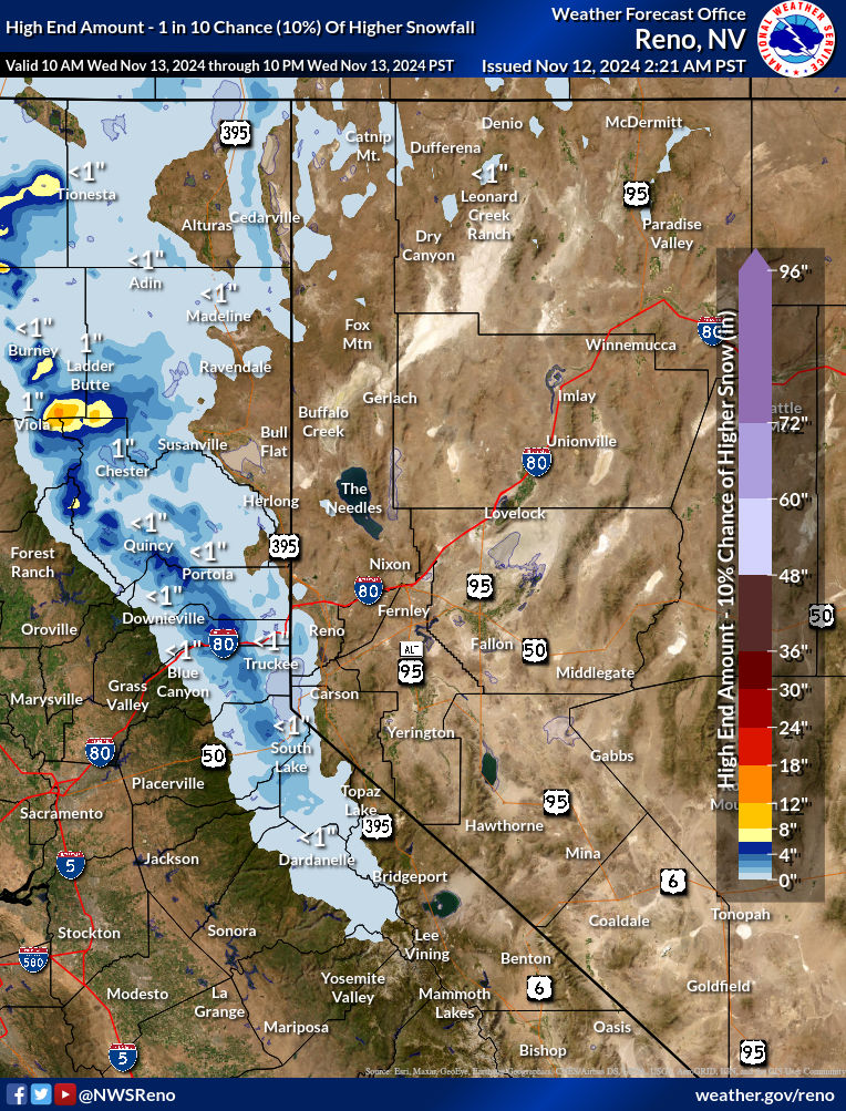
That system moves into Lake Tahoe Tomorrow afternoon with light snow expected, around 3-6 likely along the Crest with the highest totals when system 3 arrives on Thursday.
Utah and Colorado
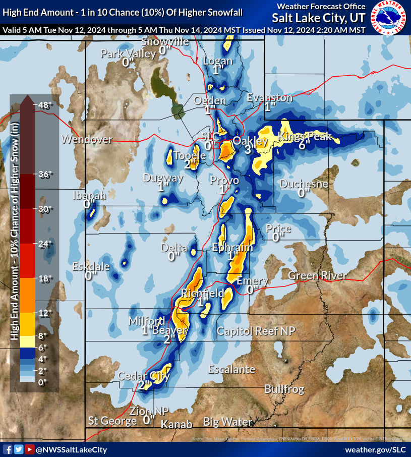
The storm that came thru yesterday is hitting Utah and Colorado as I write this. Expect good totals for Utah’s Cottonwood resorts in the 6-12 category by tomorrow morning. For Colorado, a bit more modest, with 3-6 for most mountains with the higher elevations faring the best. Not much expected for the southern mountains with this storm.
Third Wave Friday
Friday the third wave hits and this one is taking a good path for future cycles for Lake Tahoe. This could be a monster when it returns and we have the right setup, but for now we are in a unamplified pattern. This should hit around 6 am as of now.
LONG-RANGE TEST FORECAST +/- 2 days tolerance (Made October 15th)
October 29th, Tahoe, Utah and Colorado Verified
November 2 and 4th (2 Waves), Utah and Colorado Verified
November 8-9th, Utah and Colorado Verified 2 Early
November 13th, Pacific Northwest On GFS, on Time
November 17th, Utah and Colorado On GFS on Time, Weak
November 22nd, Utah and Colorado On GFS 3 Days Early
December 3rd, Utah and Colorado Not in Range
Thank you for reading the blog and as always if you have any questions, please email me at Mike@FutureSnow.co. We have received many great questions, and it is a pleasure to answer them, so don’t hesitate to ask.
