Snow Totals
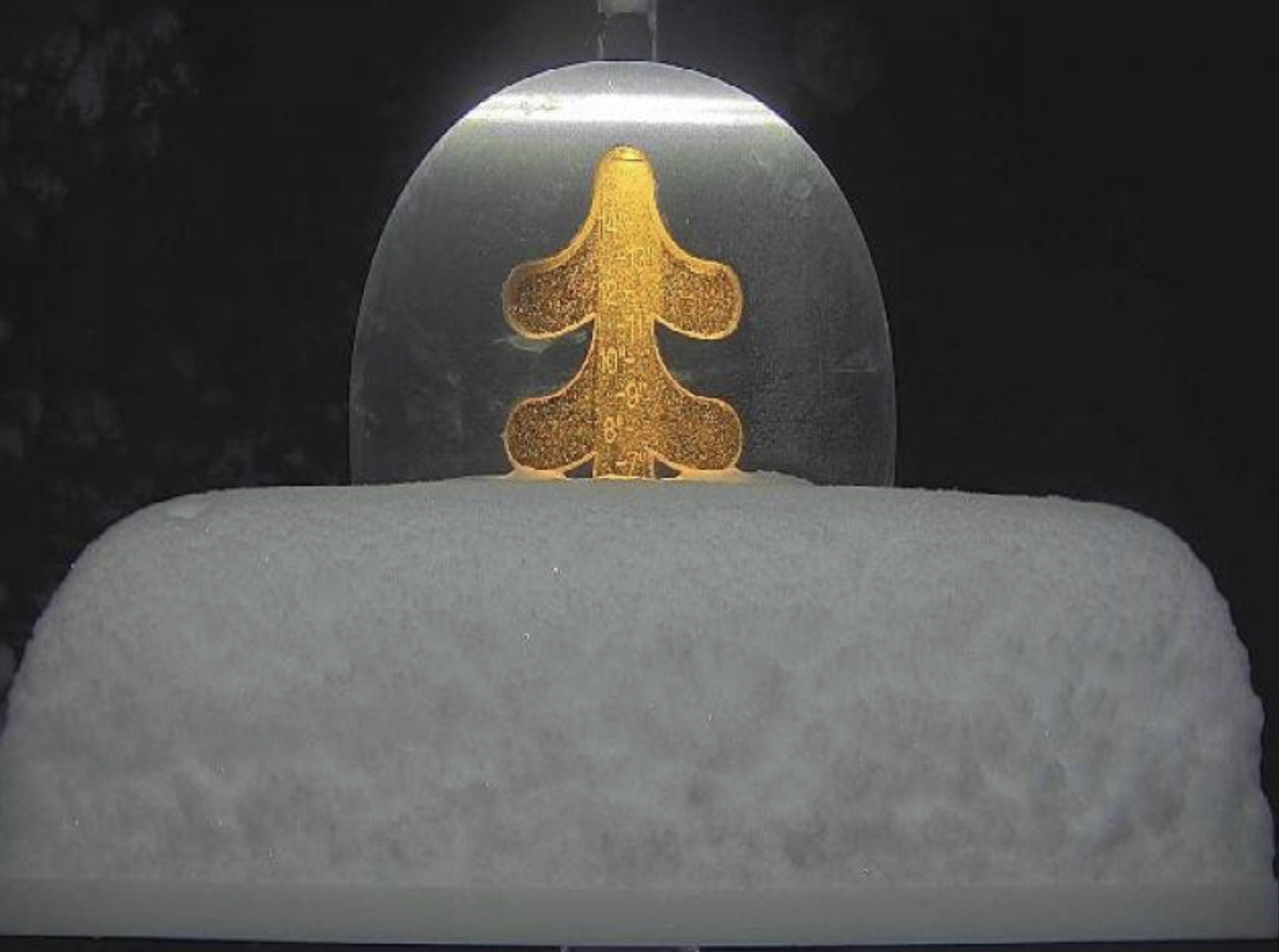
A nice refresh for mountains along I-70 towards Loveland Pass. Beaver Creek and Vail were on the low side with an inch. Up the road, at copper, 2. Breckenridge 3, Keystone 3, I am guessing Arapahoe Basin had 3-4, their snow stake camera is down. Loveland 3. Eldora was the winner, so far with nearly 7.
Next System
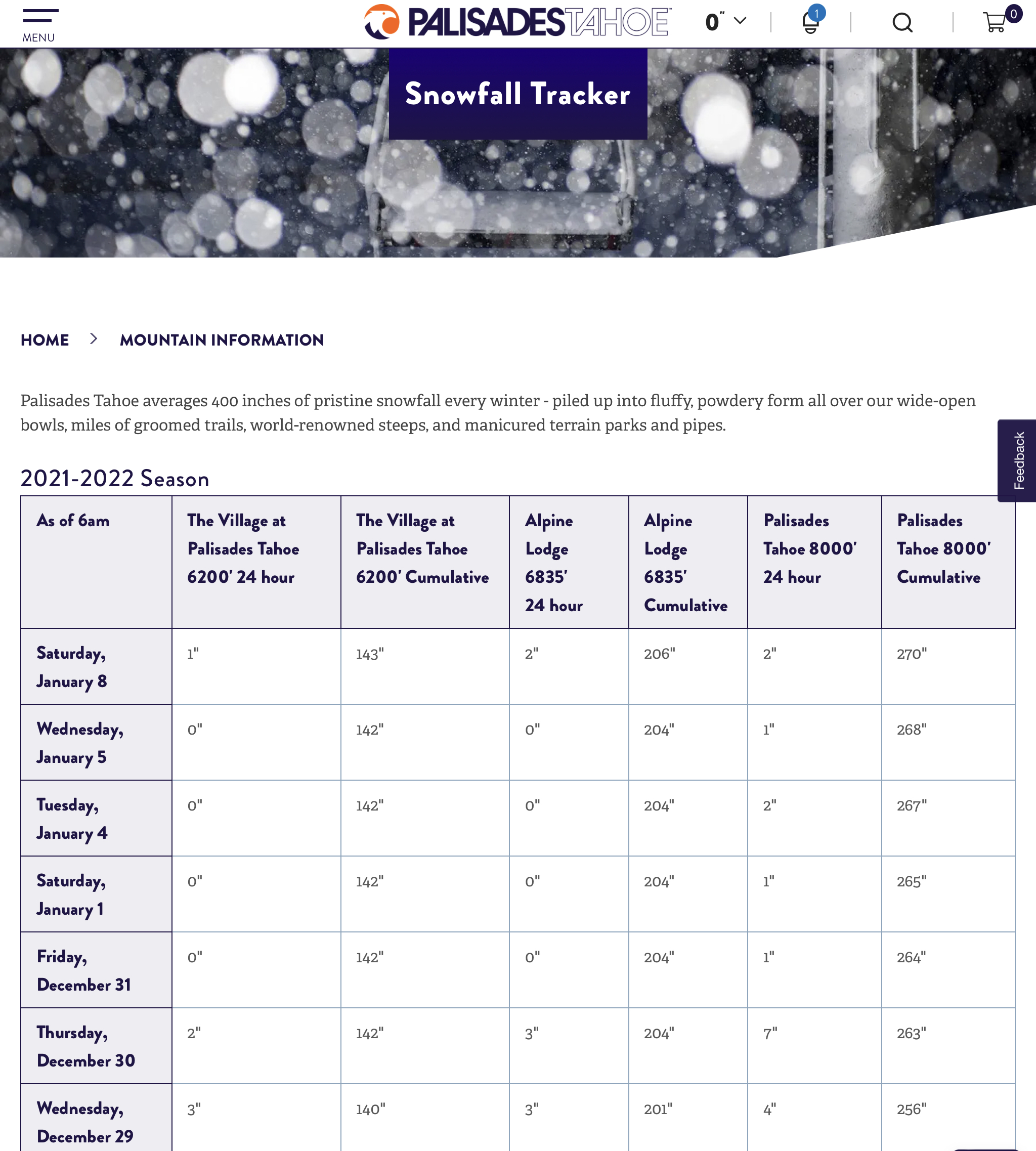
The track of the next storm is projected to be on the same path as it took in the last two cycles. Which is good news for Tahoe because their last measurable snowfall came on January 8th with a measly 2″. Below is Palisades Tahoe’s snowfall tracker.
Presidents Day Week Forecast

It all begins on Valentine’s Day as the storm arrives in Seattle, then progresses SSE towards Tahoe. There is moisture available, off the coast, that will finally influence and fuel the track (hopefully). Right after that wave gets established, a second wave follows over the High pressure (ridge), off the coast of British Columbia, and takes a SE track. I am pretty sure of this solution, because this is how it happened in Cycle 1. It is still over a hundred hours out, so I will update this for you tomorrow.
Thanks for spending time reading the blog. If you have any questions, please ask them in the comments below. If you would like to take advantage of our free Ski Concierge, which gives you detailed information for your trip, send me an email to Mike@FutureSnow.co
