Stevens Pass
Update:7;33 April 5 PDT looks like operations will be back up and running today, except for peak chairs. Winds will be back to manageable margins with 25 mph gusts.
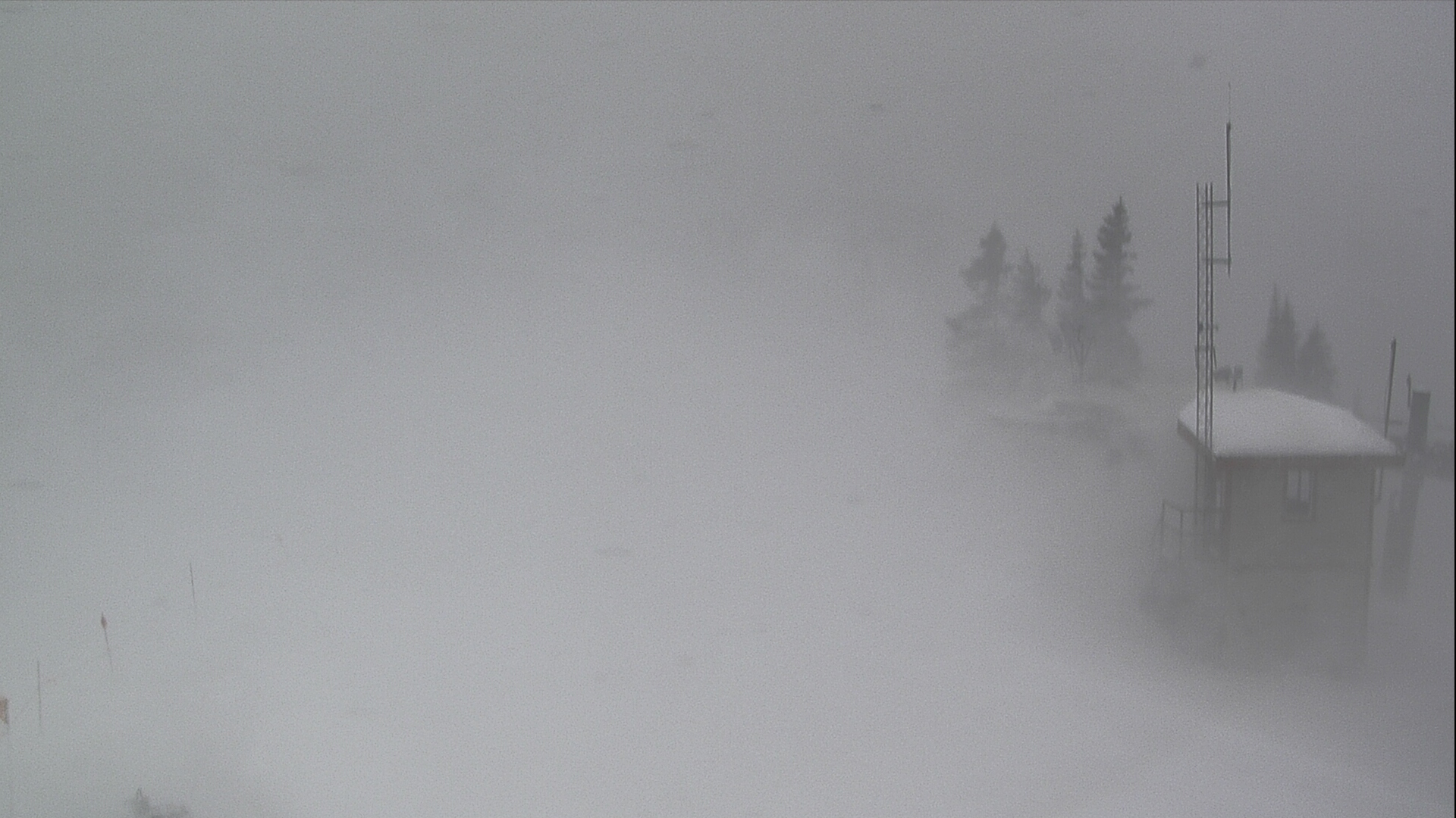
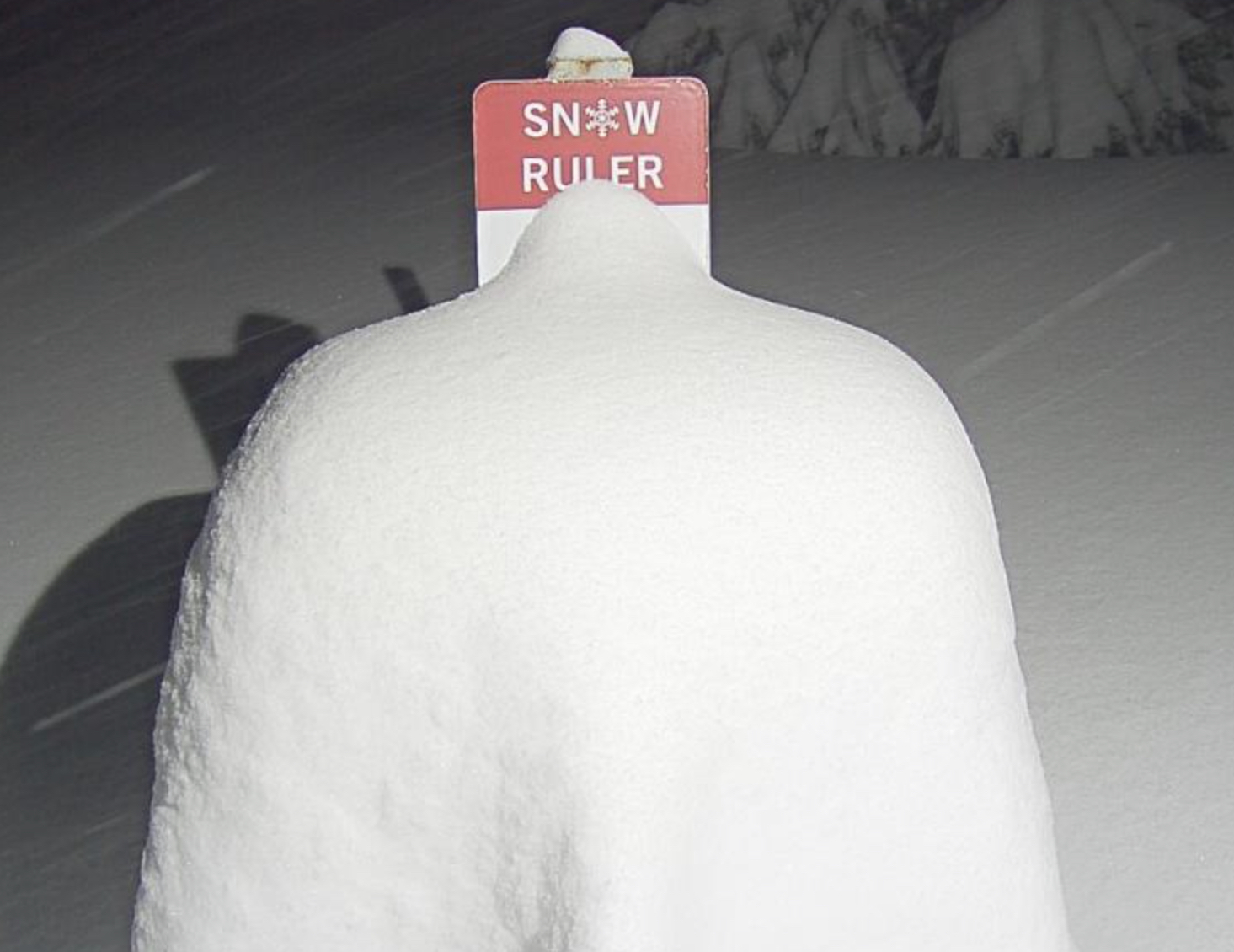
The above picture is from Stevens Pass, still high winds there but those will calm down later this morning. Check your resorts page before you go!
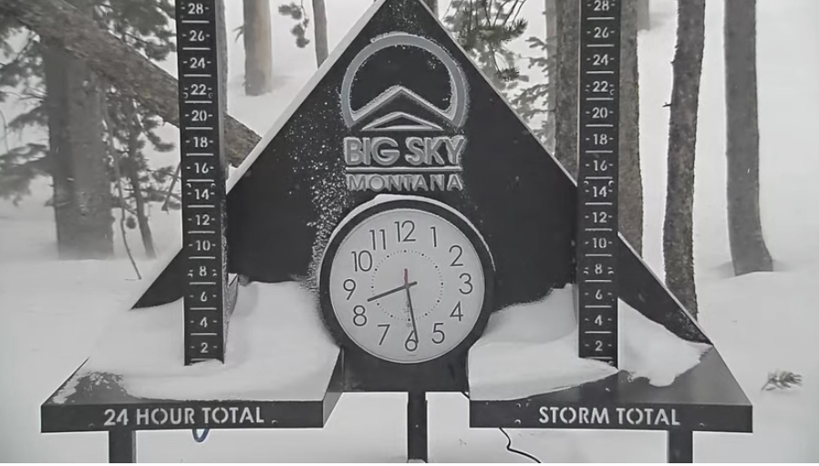
2 Day Totals: Mt Baker 42, Crystal Mountain 28, Stevens Pass 21, Mt Hood Meadows 17, Whistler 21, Big Sky 16
Update: 10:45 April 4 PDT Timberline Closed due to wind conditions. Meadows: all lifts on standby. Mt Bachelor has 9-15 lifts running. Upper mountain appears to be closed at Crystal just looking at their web cams. 4 of 12 lifts running at Stevens.
Summary
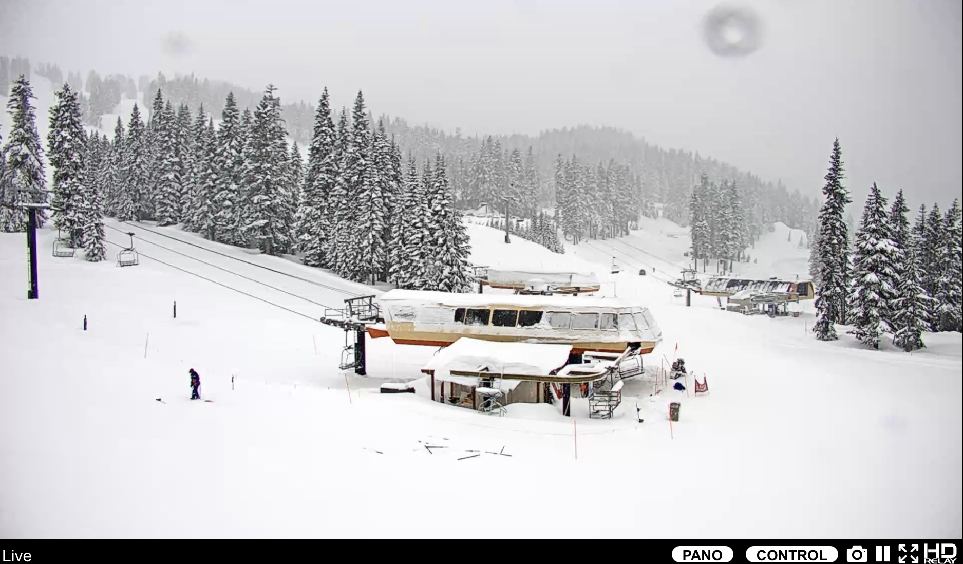
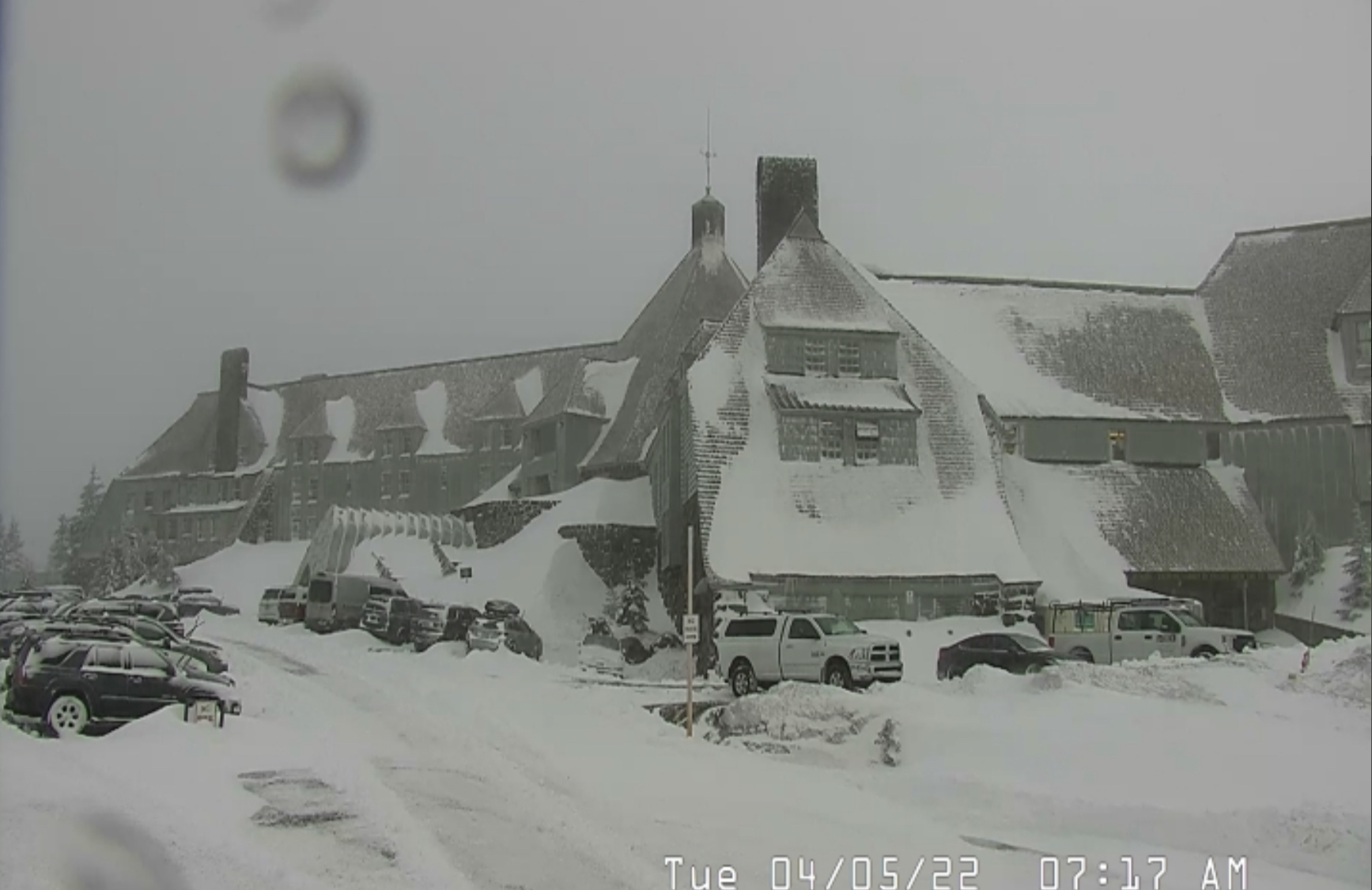
Whistler Blackcomb has a full board this morning, and there will be full boards all around, in the Pacific Northwest, by afternoon today as this powerful storm slides towards Idaho, Utah, and Colorado. Winter Storm Warnings throughout the Cascades until 8 am tomorrow, with 2-4 feet for Crystal, Snoqualmie, Mt Baker, Mt Hood Timberline/Meadows and Mt Bachelor.
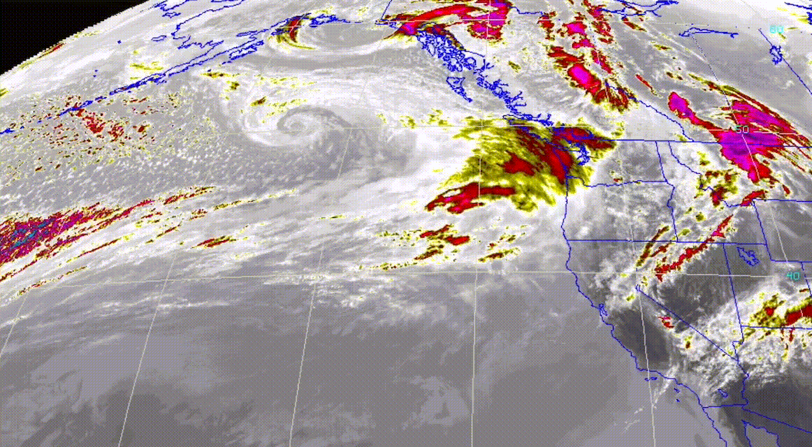
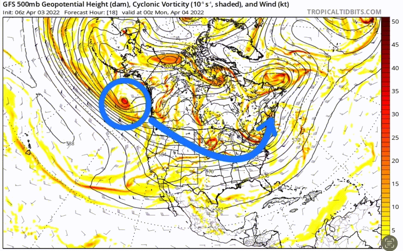
You can see the size and scope of this system by looking at it from the 500 milibar level, about halfway up in the atmosphere. You can see the comma head in the opening animation above, which is circled on the chart below. Watch the storm grow as it moves the country. By Sunday, the backside of this system will impact the ski resorts in the northeast.
Stoke
Whistler Blackcomb


Forecast
PNW
Heavy snow today for the Cascades with falling temperatures in the mid to lower 20’s. Expect strong winds with possible upper mountain lift closures. Northern Cascade winds 25-35 mph with up to 50 mph gusts. Southern Cascade winds slightly lower, in the 15-20 mph range with 40 mph gusts. Snowfall accumulations will be in the 6-12 range today, with another 6-12 overnight.
Snow continues Monday with similar totals expected 6-12 daytime with 6-12 overnight. The system moves out Tuesday by noon.
Utah
The outer band reaches Utah’s Cottonwoods by tonight, after midnight. Strong winds overnight as the front approaches, winds will be from the southwest with 40 mph gusts. Just the outer band is expected to hit, but there should be enough energy to produce 3-5 overnight for Alta, Brighton, and Snowbird before the lifts open. Expect another 1-3 during the morning on Tuesday.
Tuesday will be cold, winds will be more manageable, but still really cold when you factor wind chills so be prepared.
Colorado
The angle that this storm is approaching, only the northern resorts and resorts around I-70 will get snow. The system will arrive before midnight. Expect high winds as early as this afternoon as the front approaches. Not much snow tonight, maybe an inch or two at best.
Tomorrow, 1-3 for most aforementioned areas, with resorts along the divide, such as Arapahoe Basin, faring better, in the 3-5 range. Upslope orographic lift may allow better totals for Steamboat.
Thanks for reading the blog if you have any questions feel free to email me at Mike@FutureSnow.CO or comment below.
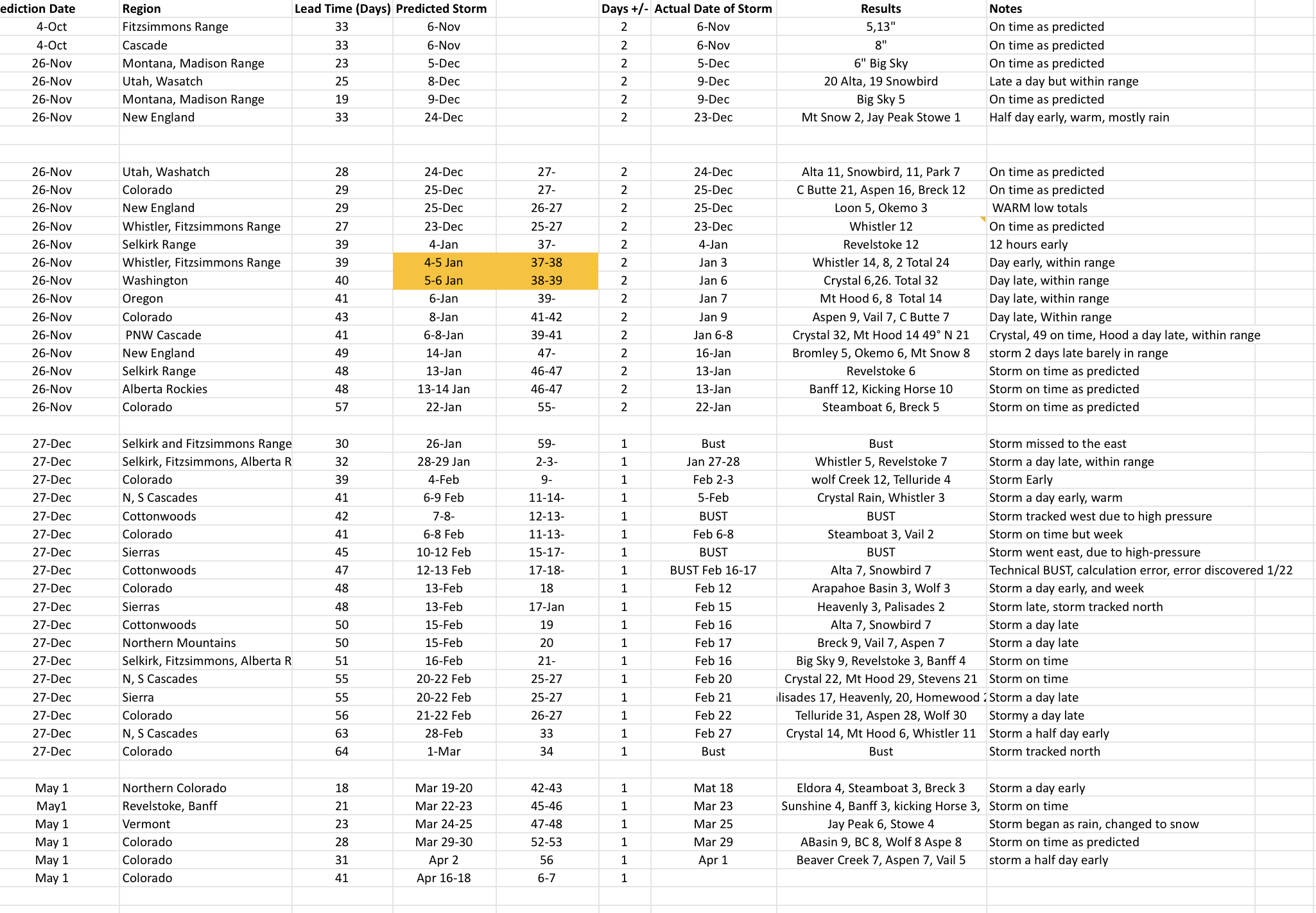
Prediction Chart Updated 88.4% Accurate (Avg lead time 29 days out)
We predict storms for many different regions to prove our theory. We have made 43 predictions this year 38/43, or 88.4 percent accurate. We made a calculation error with our second set of predictions that cost us our perfect record. We also had a minor calculation error that we call a “technical bust”, which I would love to count because that would get us to 90.7 %, beating last year’s average of 90.2%. The technical bust was still a bust, those things will happen–88.4 is still unheard of for long range forecasts, so we will take it.
We have one more storm on the chart left for April 16-18. That storm is showing up on the GFS and is trending early. We will keep an eye on it, the models do have the proper path we will see with the timing.