Updated 5 PM mountain time.
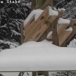
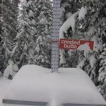
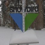
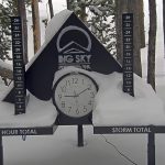
No significant changes in the forecast. I did update the CONUS 24 hour snowfall chart. As well as, some stock pics from Tahoe, have a great night! Mike

“Damn, it didn’t work again”

Welcome back Sierra at Tahoe!


FutureSnow Discussion
We are in the long-range forecast chart with this upcoming storm. We made this prediction back on November 9th, 24 days ago.

Most of you already know, that 24 days is not very long, for our long-range forecasts. Our longest prediction last year was 64 days. This year is different, we are launching a subscription service and will be releasing our next set of forecasts in the coming days.
I have been making long-range forecasts for 5 years using Gary Lezak’s method called Lezak’s Recurring Cycle (LRC). The first couple of years were pretty simple, you can get a sense of it by this chart below. A lot of shorthand–items in pink occurred in both previous cycles, items in yellow just one. The LRC is the cornerstone of our forecasts.
What is the LRC?
Every year a new pattern sets up in late summer and a new cycle length is formed. A cycle is a period of days in the weather pattern, along with storm systems, that come through before it recurs. Last year, there was a very long cycle length of 64 days. During those 64 days, there were 12 systems. Once those 12 systems came through, it started all over again. Cycling a total of six times before the new pattern began to emerge.
![]()
Once the cycle length is set, you can make out a calendar and wait for the storms to come through. We don’t cut and paste anymore, we use spreadsheets and a patent pending model, that merges LRC data with GFS model data now.
We are launching our subscription service next week. I hope all of you will join us as we move into this next phase. We will continue to give you the best service that we can deliver. There is more to come on this, I will discuss that on Monday.
 Forecast Summary
Today, the low-pressure band we were talking about yesterday moves into California this morning and reaches Lake Tahoe by 10 o’clock. That band moves north northeast and moves into the Southern Cascades by 5 pm, as the low-pressure system makes landfall.
Washington
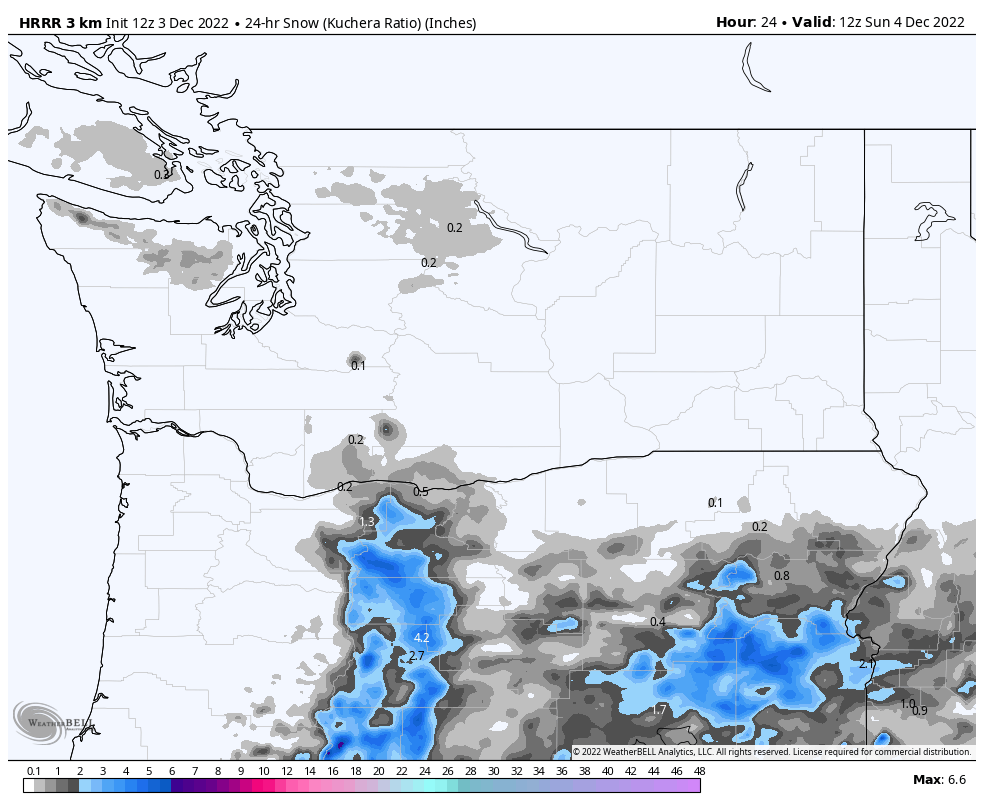 Today
Today
Sunshine and cold temps, 22 for the high and winds from the east around 10 mph. Wind chills near zero.
Tomorrow
This storm may not reach the Northern Cascades, as it is tracking south of Crystal, Stevens Pass, Mission Ridge and 49 Degrees North may get missed.
If it does reach those areas, we are looking at minimal amounts. Temperatures will be in the lower 20s with moderate winds 10 to 15 mph. If the snow does reach it will begin around 5 am Monday.
Oregon
 Today
Today
Partly cloudy with a high around 28. Moderate winds that will increase in the afternoon. Gusts will be near 30 mph.
Tonight
The first wave of the storm moves in after 10 pm and there is not much moisture with it as of now. I would expect a couple of inches by the time the lifts start turning at Mt Hood Meadows. For Mt Bachelor, there could be ice at the lower elevations.
Sunday
The main part of the storm will hit Sunday and I’m hoping that the energy increases. I will watch the models today and give an update around 5pm today.
Presently, we are looking at 2-4 throughout the day for Mt Hood. Temperatures in the mid 20’s and light winds. Mt Bachelor will be on the low end–maybe an inch or two.
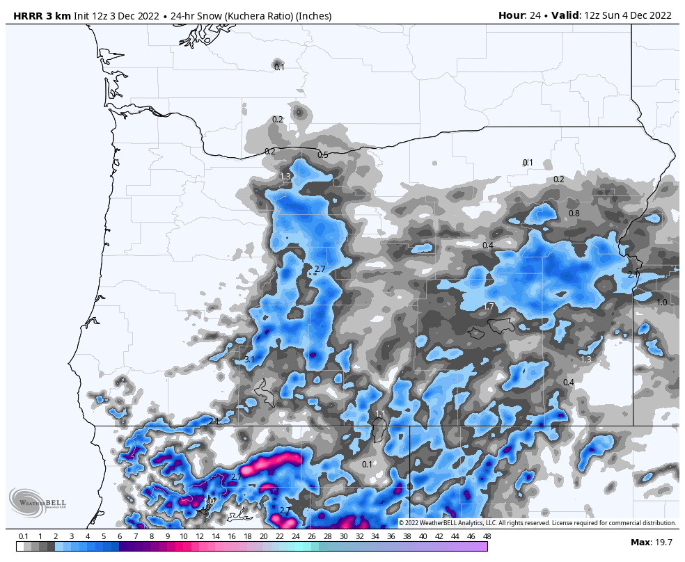
Tahoe
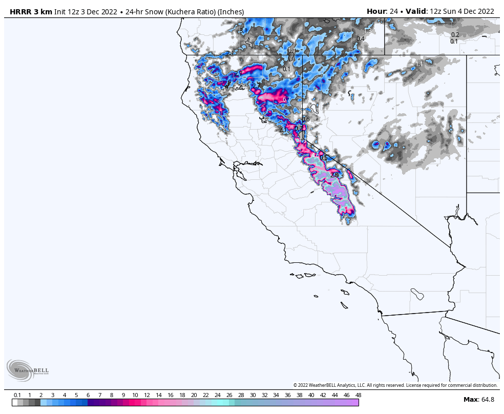 Winter Storm Warnings today until 5 am on Monday. Warm temperatures with a high of 36 today and snow levels around 8,000 feet dropping this evening. Ridgetop winds only 45-50 mph.
This storm is a weak atmospheric river (AR) event, Sierra Cement Advisory has been issued, by FutureSnow, until 5pm–so plan accordingly.
The next time this storm comes through could be a monster–so pay attention to the long-range! The bullseye for this storm will be around Kirkwood. Expect 8-12 for Kirkwood, Palisades, and Sierra at Tahoe, with 4-8 at Mt Rose, Heavenly, and Tahoe Donner.
Tomorrow
Colder temperatures tomorrow with highs in the mid 20’s and strong winds with gusts around 4o mph. Pretty paltry winds for Tahoe standards. Another 5-10 for Kirkwood, Palisades and Sierra at Tahoe, with 2-4 for Mt Rose, Heavenly and Donner.
Tomorrow Night
The storm moves out by 10 pm, but not after another 3-5 after the lifts stop spinning, with 1-3 for the southern resorts.
Utah
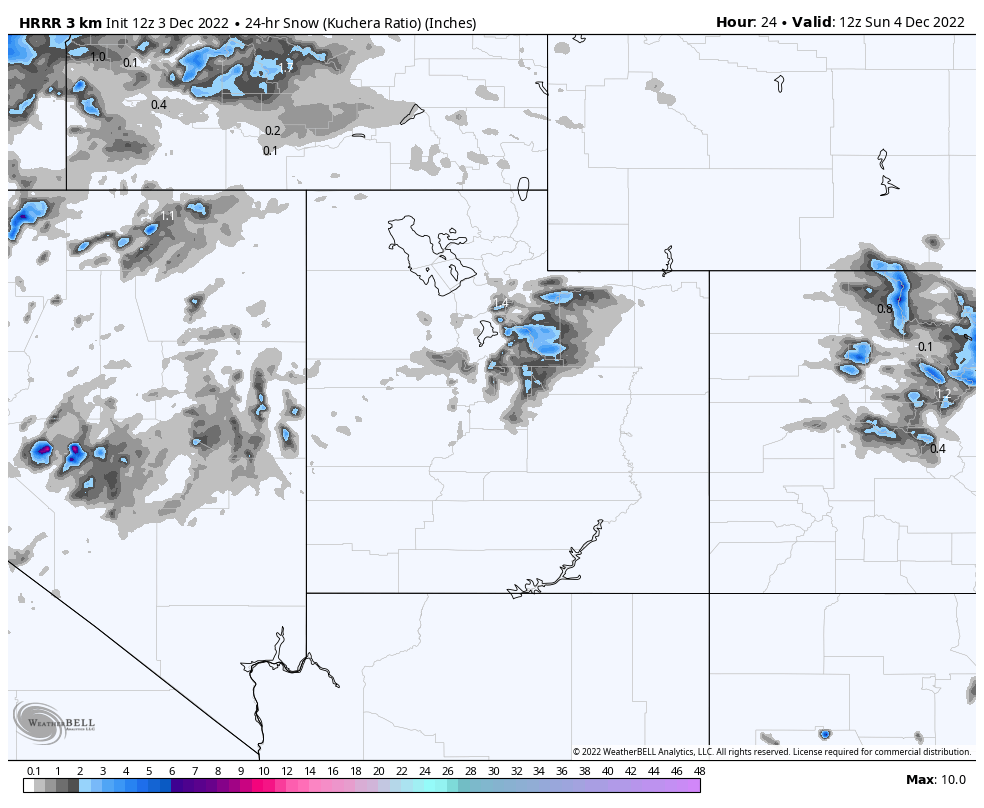
 The storm rolls in Sunday night with decent temperatures in the upper teens. I am expecting 4-8 before the lifts start turning on Monday morning.
Monday temps will be in the low 20s with light winds. Snowfall Monday will be in the 4-8 range, but as I stated above, I will update this forecast this evening as well as the expected amounts.
Colorado
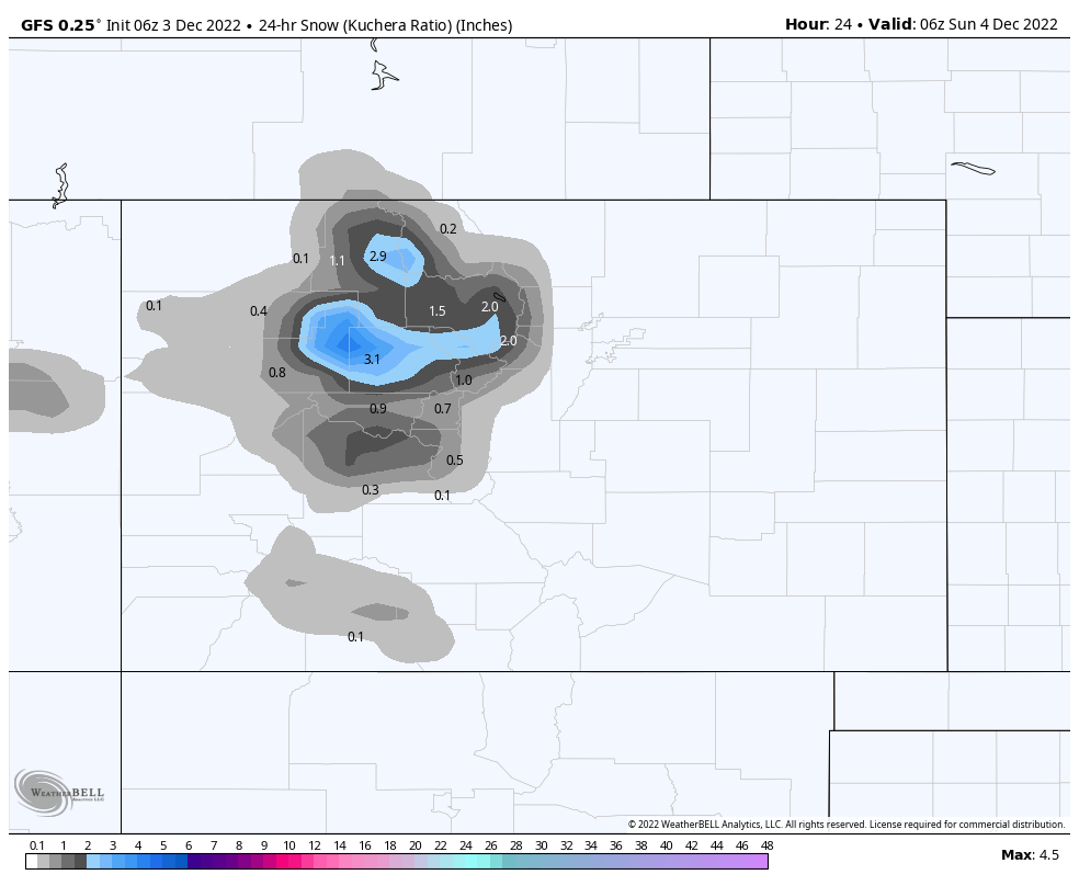 Today, a small wave will drop around 1-3 inches for northern and central mountains, with possible another 1-2 overnight. The storm we are talking about arrives Sunday around noon. I will dial the totals in for this storm tonight.
Thanks for reading the blog, as always if you have any questions, please ask in the comments below or send an email to Mike@FutureSnow.CO
 Forecasted Areas
Pacific Northwest Cascade Mountains
Crystal Mountain, Mount Hood Meadows, Timberline, 49 Degrees North, Bachelor, Mt Baker,
Lake Tahoe Sierra Mountains
Heavenly, Palisades Tahoe, Kirkwood, Dodge Ridge, Donner Ski Ranch
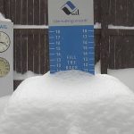
Utah Wasatch Mountains
Alta, Park City, Deer Valley, Brighton, Snowbird, Brian Head
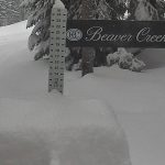
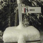
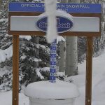
Colorado Rocky Mountains
Aspen, Aspen Highlands, Snowmass, Vail, Beaver Creek, Winter Park, Keystone, Arapahoe Basin, Breckenridge, Copper Mountain, Powderhorn, Ski Cooper, Telluride, Crested Butte, Silverton, Wolf Creek, Eldora, Loveland
