Summary
Powder day in Utah and Colorado today as this storm continues to deliver the goods today. Snow all day today with cold wind chills. The storm moves out of Utah early this evening and Colorado overnight tonight.
Stoke


Pattern
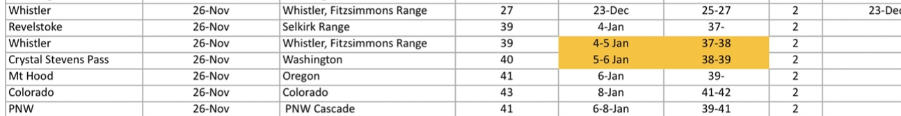
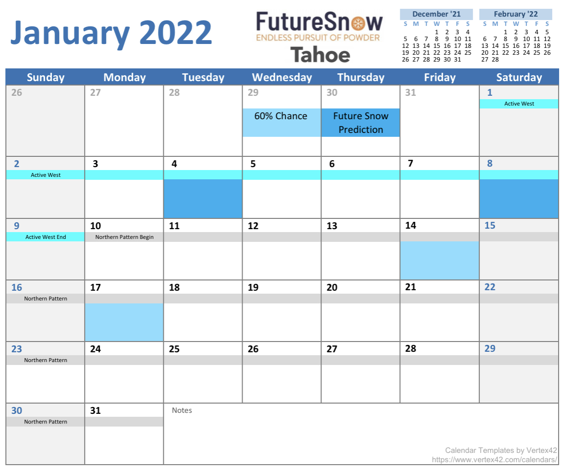
We are in date 33 of this year‘s 59 day pattern. We are presently in the Active West phase of the cycle for another 9 days. The next pattern storm will begin in the afternoon hour on January 3rd. It is right on time. The predicted target areas are Whistler, Crystal Mountain, Stevens Pass and Mt Hood.
All of our predictions can be found on the predictions tab here. This next animation shows the change in the path of the Pattern. Watch as the track moves north. Click to play.
Today
PNW
Bluebird skies with low wind, so get out and play.
TAHOE
Bluebird skies with 10-15 mph winds today.
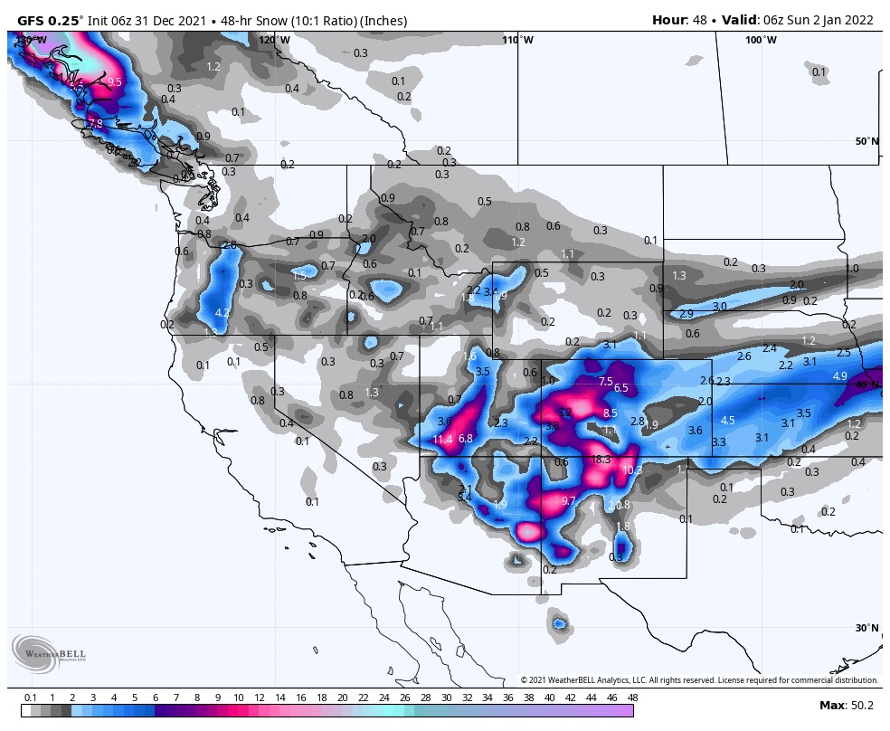
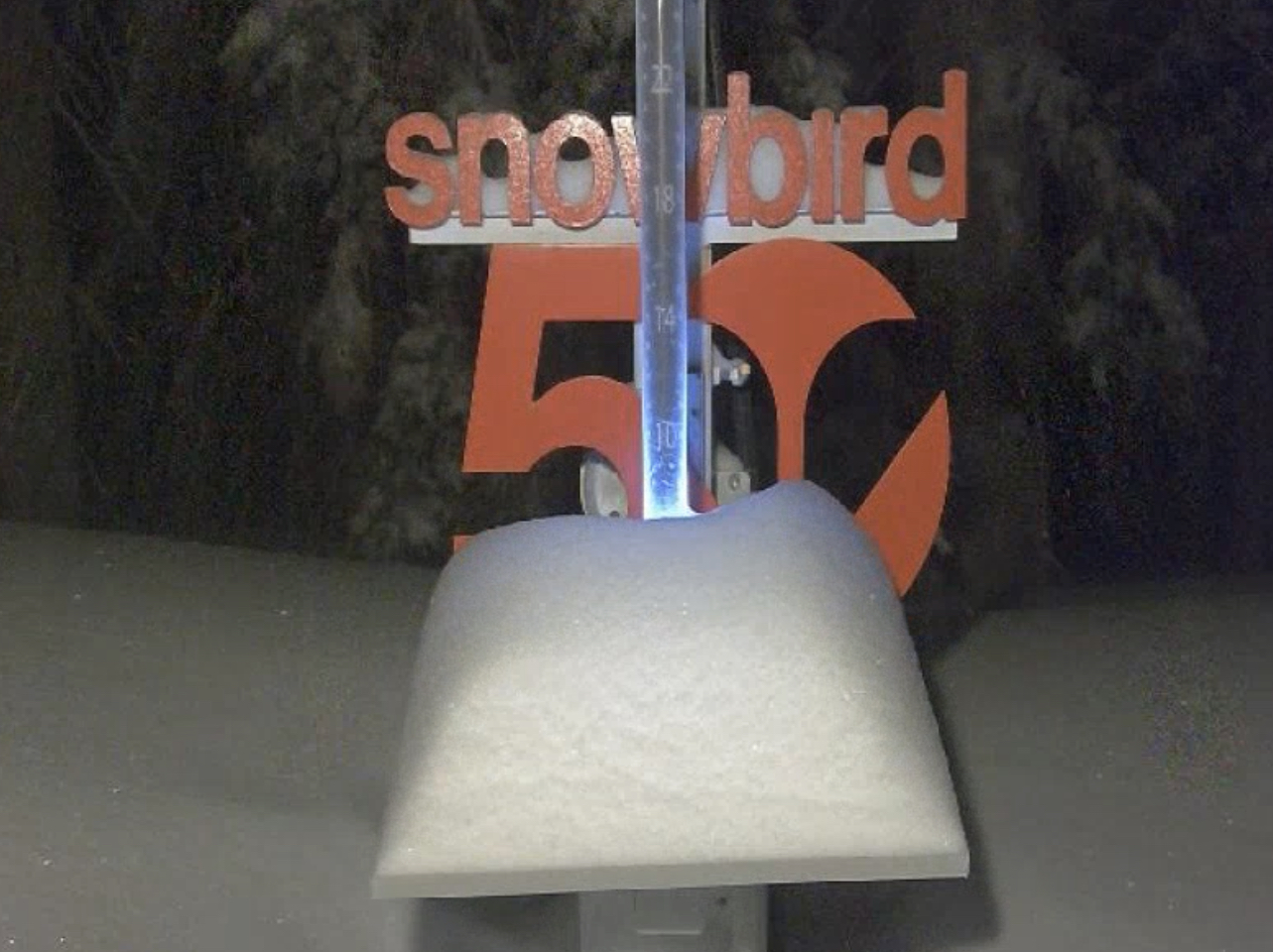
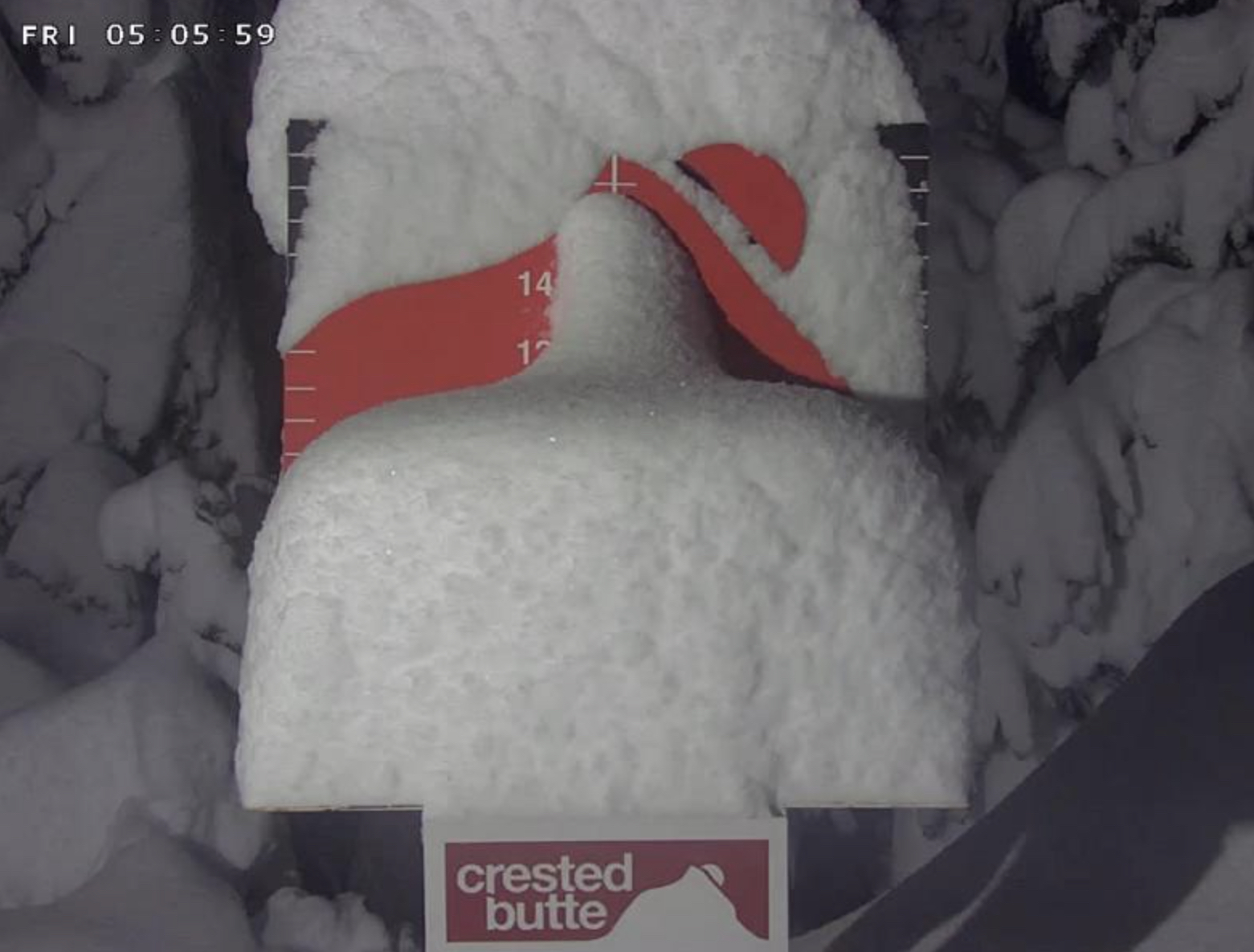
UTAH
Snow, windy and cold today as the storm leaves the area. Another 3-7 of soft blower pow to top off the year. Temps in the single digits with wind chills in the negative 20’s.
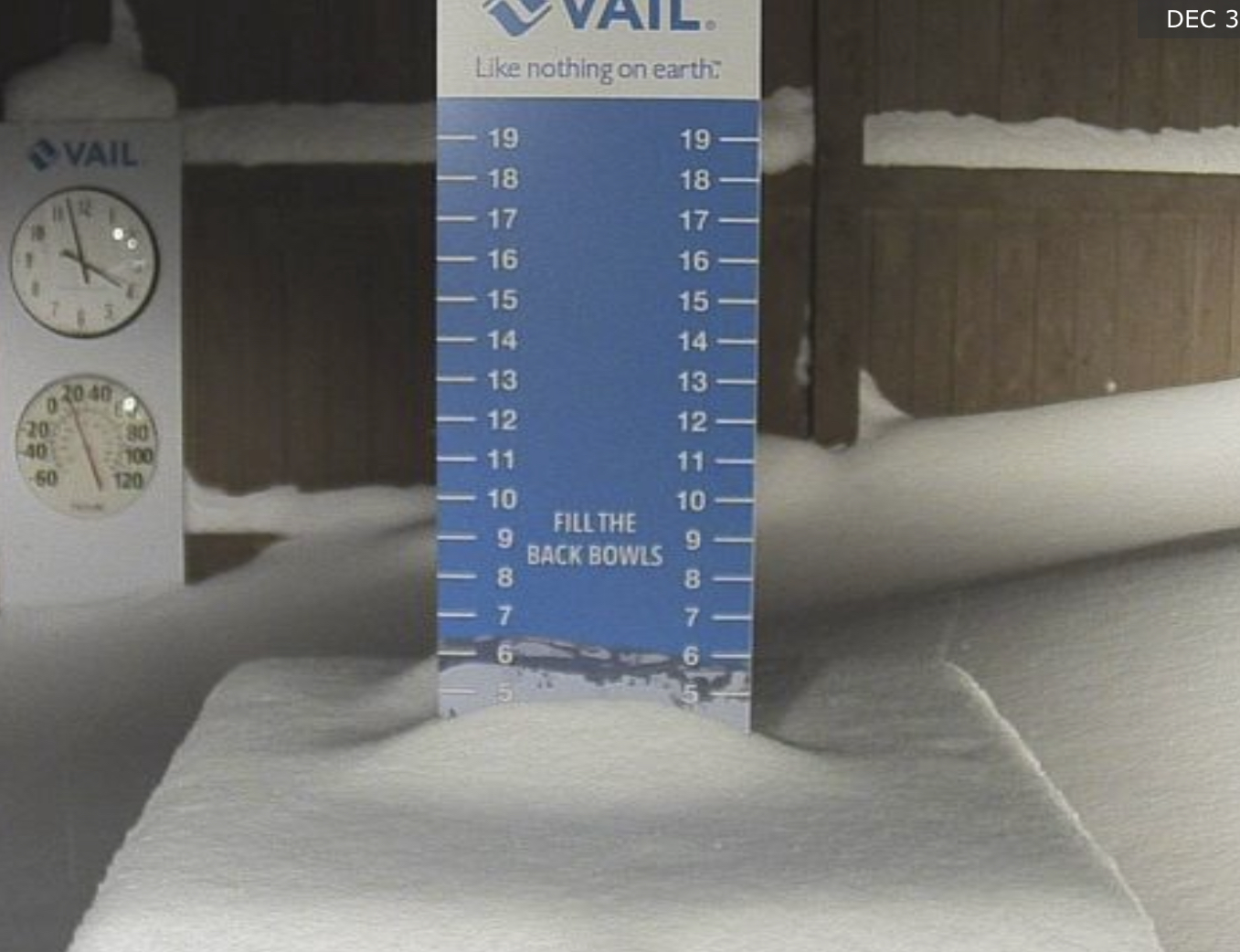
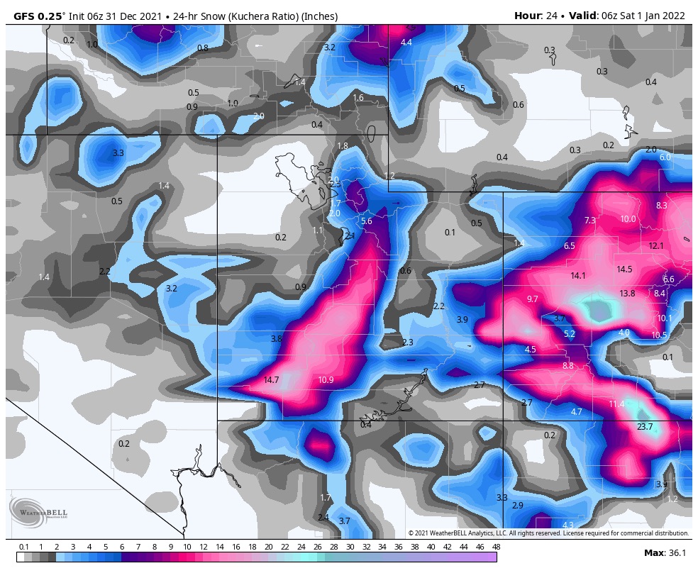
COLORADO
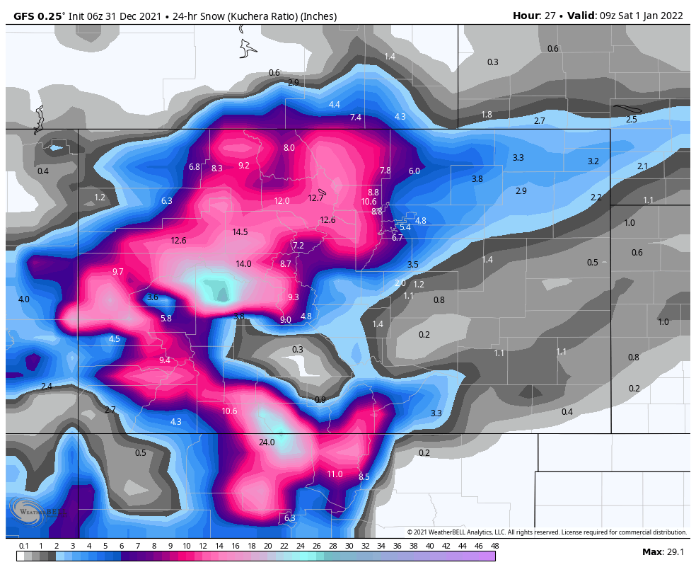
Snow and heavy snow at times. Warm temps with highs in the upper 20’s with west winds from 15-20 mph. Snow totals today will be around 8-12 for most mountains, with less as you move east towards Loveland Pass. The heavier totals will be favored in the central mountains.
Tomorrow
PNW
Bluebird skies with low wind, so get out and play.
TAHOE
Bluebird skies with low wind, so get out and play.
UTAH
Cold with clearing skies in the afternoon. Windy and -20’s for wind chills.
COLORADO
A few left-over showers may persist tomorrow morning but not much expected, a couple of inches or so. The storm moves out and temps drop throughout the day, down to the single digits.
Next System
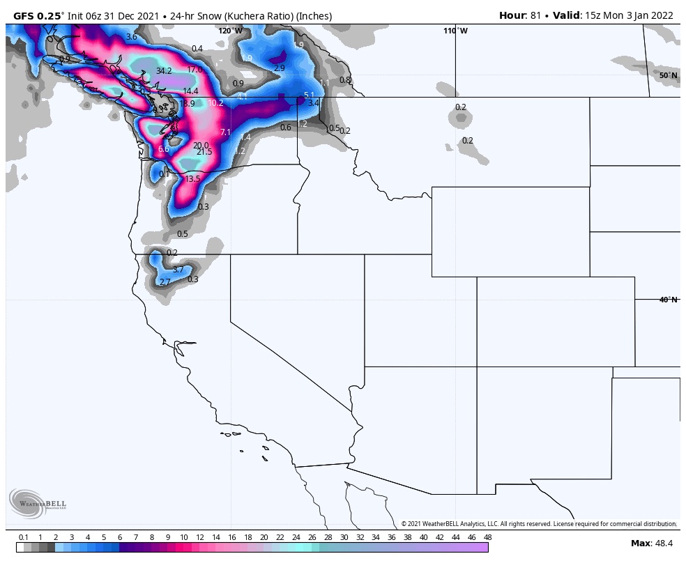
Next system arrives Sunday and gets cranking Sunday night in the Northern Cascades. That storm will take a slightly more northern track but should still reach Tahoe before the pattern change. That system is followed by the first northern track storm, which is currently looking farther south than the last time it came through in November. That is good for Idaho, Montana, and Wyoming resorts. There have been quite a few of emails I have received for those areas. This is promising news because those northern states were in the split in the pattern the last cycle.
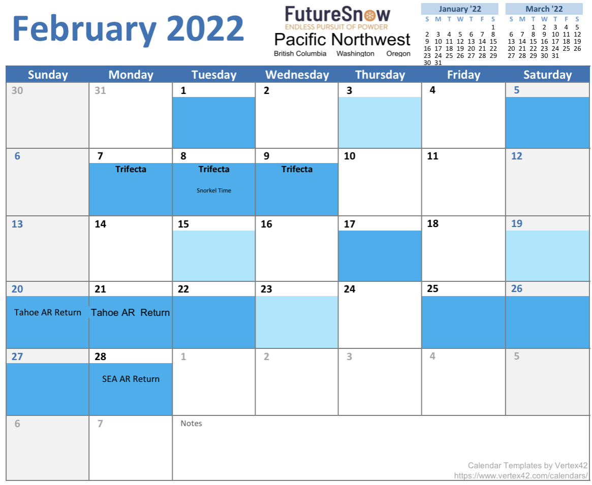
Calendars
PNW


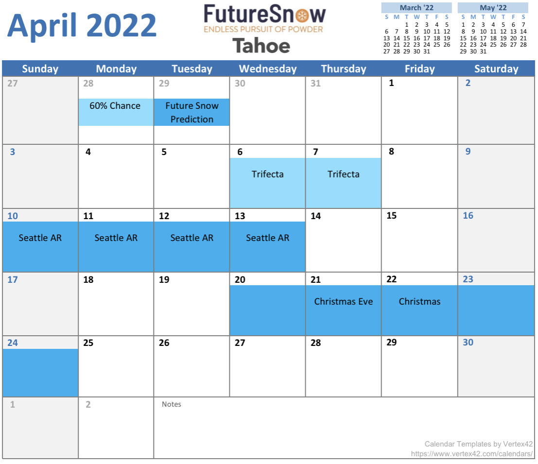
Tahoe


Colorado


Scored big time in Aspen this week! Crazy getting there from SoCal with flight cancelations but I had to get the goods before the party moved north. Thank for your work!!
Glad you made it out! Aspen looks pretty tasty right now with this storm cycle. Send pics! Mike