
Colorado | Utah Weather Forecast November 2, 2026
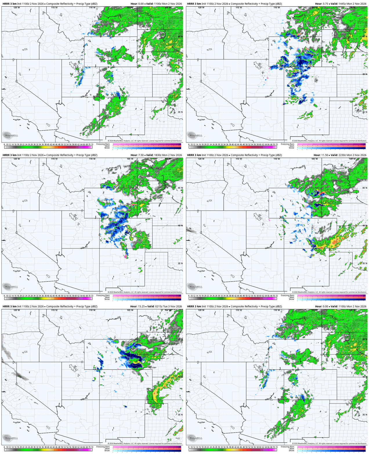
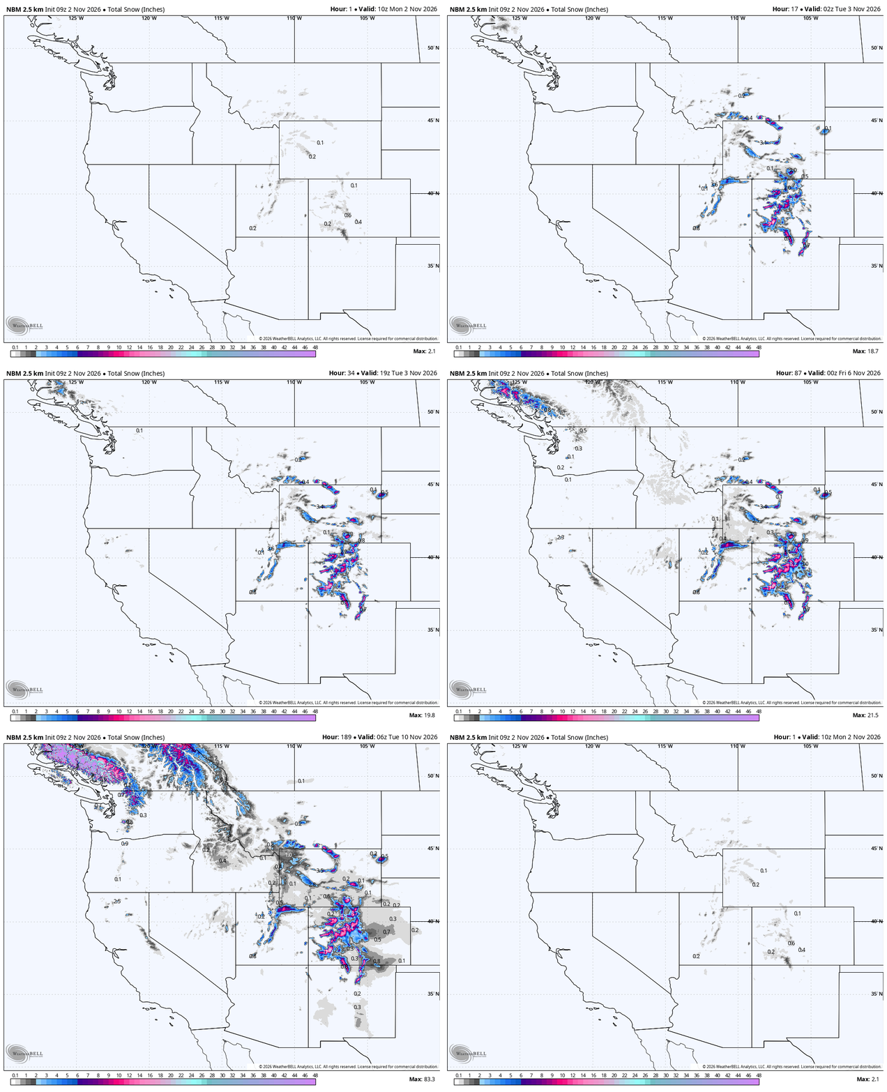
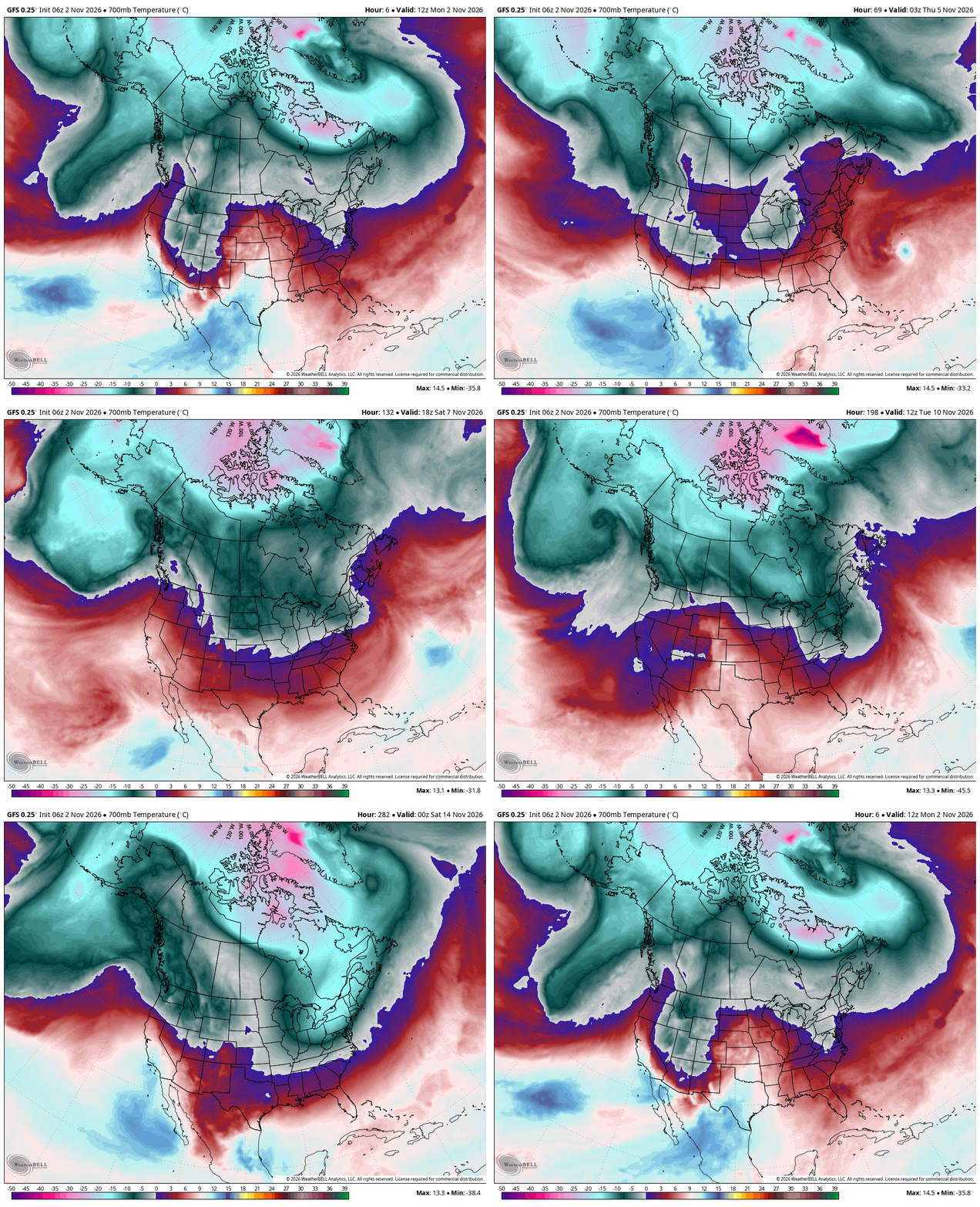
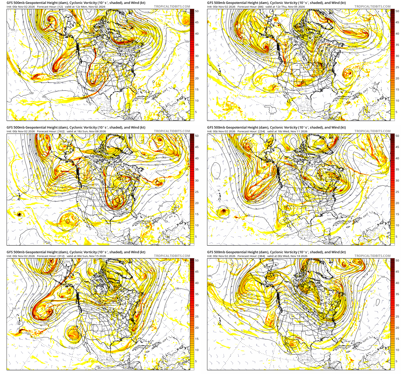
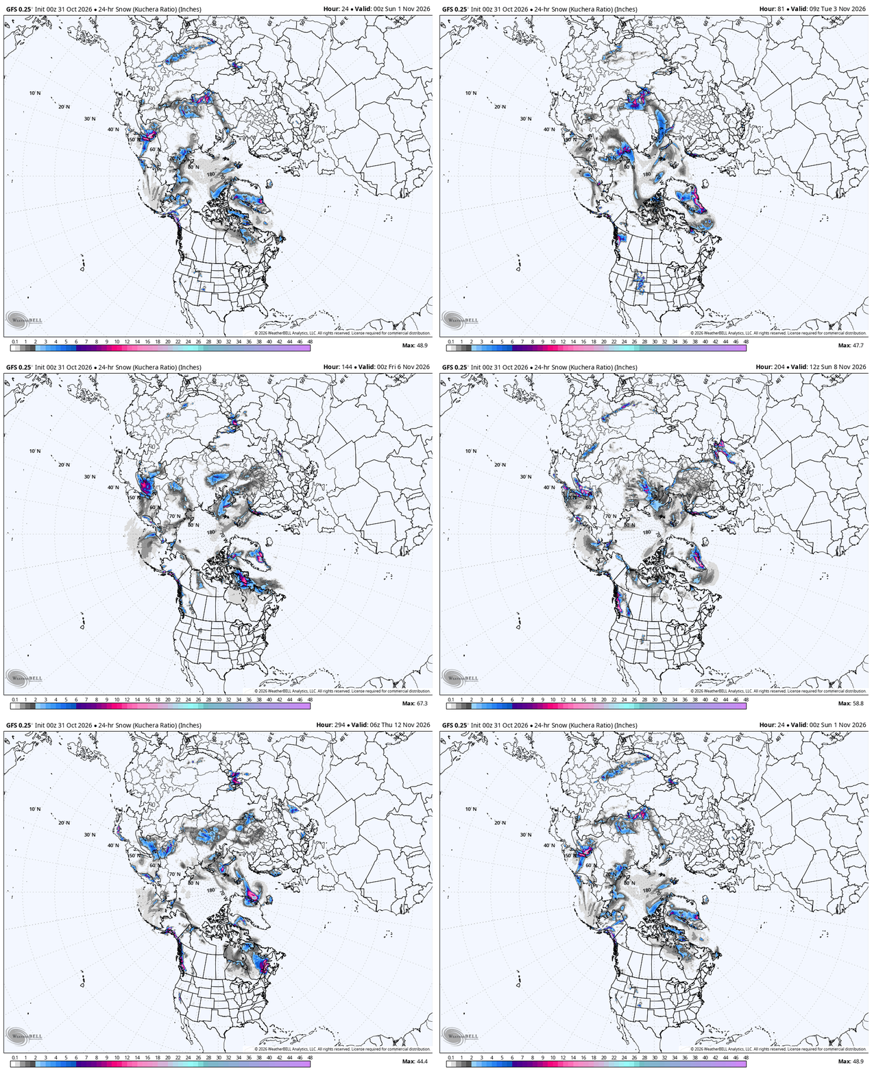
Model Forecasts: Composite Reflectivity, NBM All Snow (National Blend of Models) GFS 700mb Temp, 500 mb, Hemi All Snow (Click to Animate/enlarge)
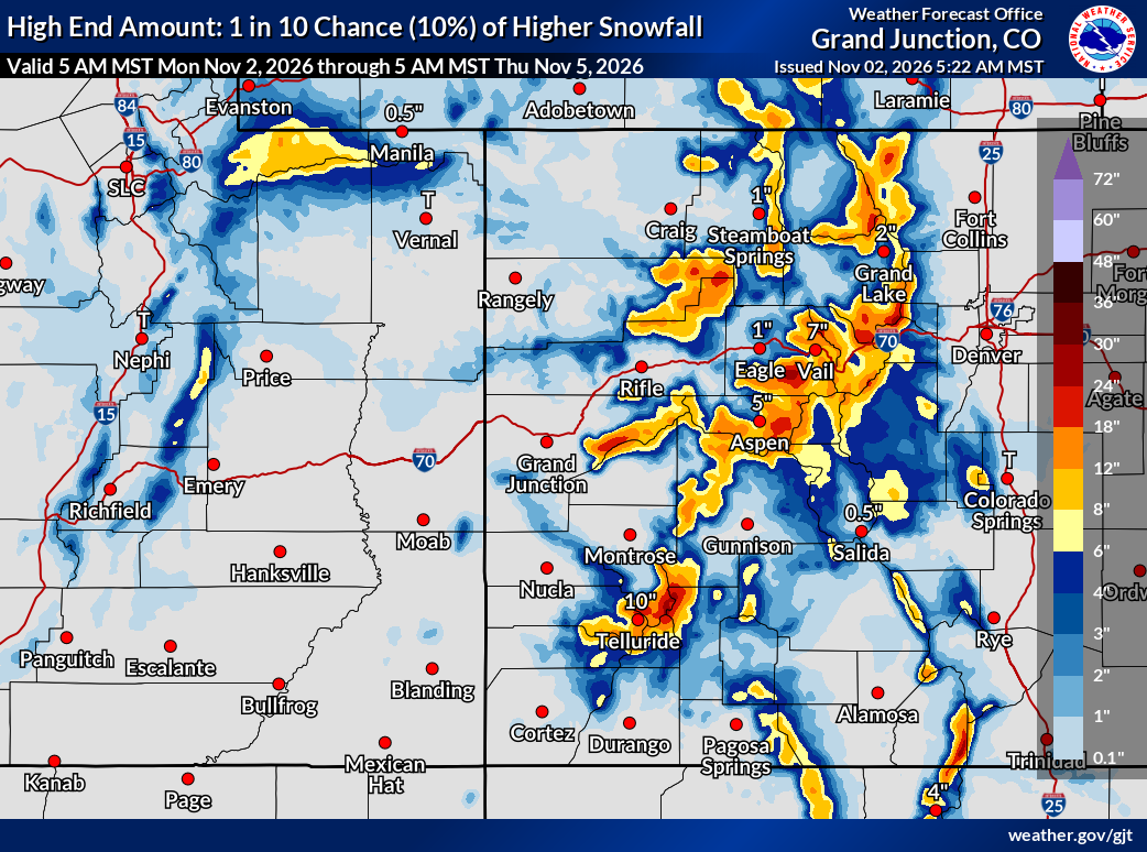
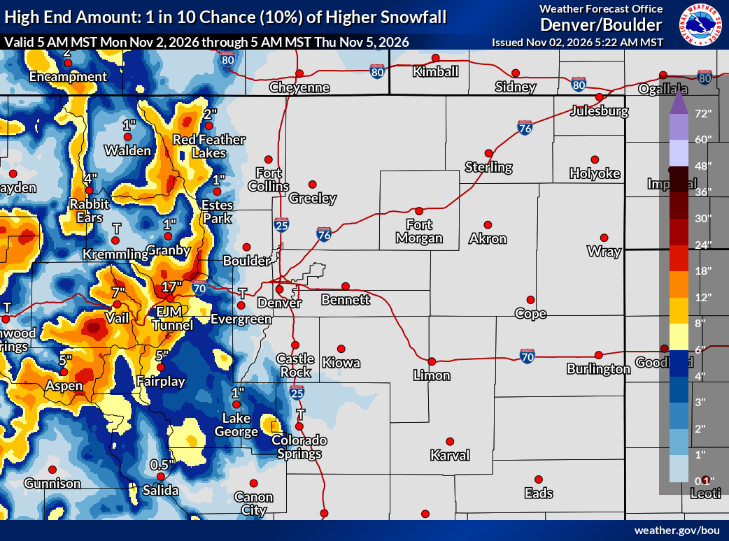
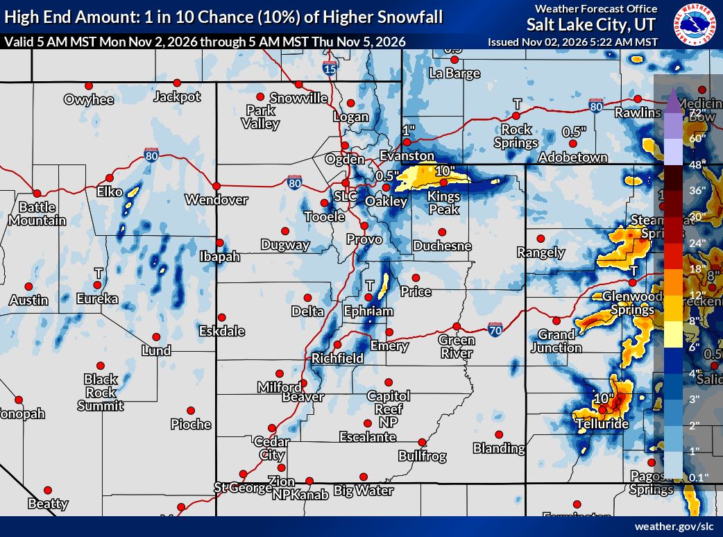
Forecast
Today
Cotonwoods: The storm is winding down but there are still lingering showers that could add a few more inches.
Wolf Creek / Telluride / Silverton: Snow showers continue until around noon, with an additional 2-4 likely .
Divide Resorts: Cold air and snow for most of the day with strong winds. Snow totals in the 3-6 range..
Tomorrow — Storm exits, colder air remains
Next Storm
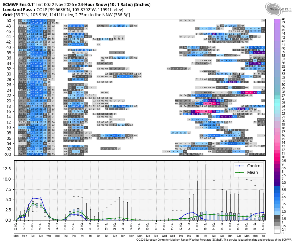
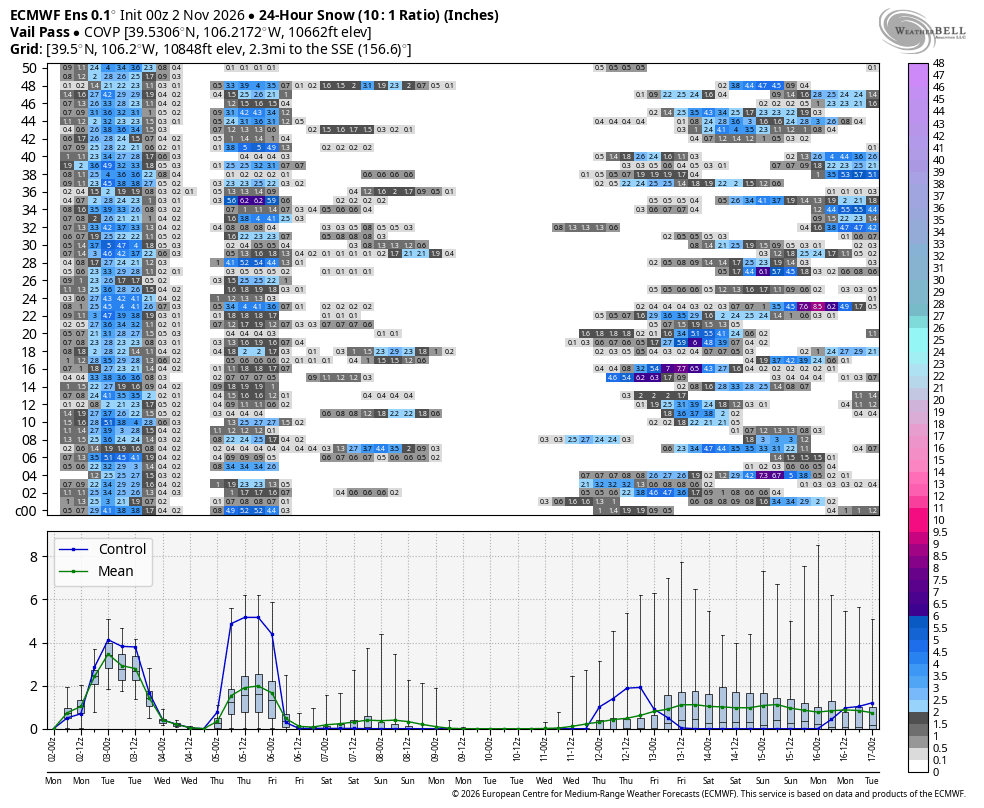
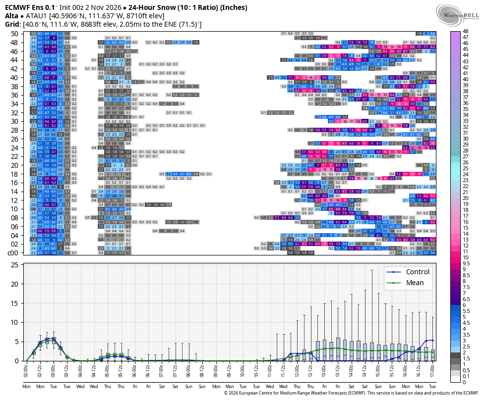
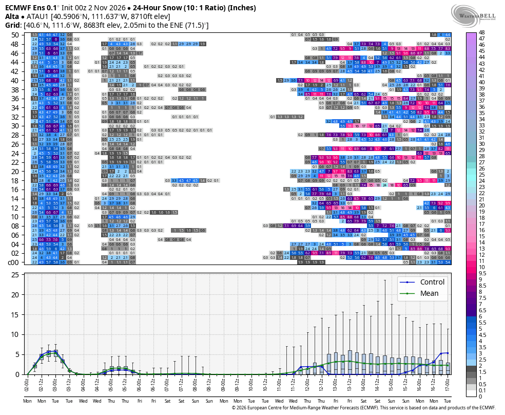
We have a disturbance moving through Thursday that will bring a few flakes and then likely dry until around Wednesday the 11th.
 Big News! FutureSnow Is Teaming Up with Rocky Mountain Sled Conditions! What if you could identify the next big snowstorm weeks before it arrives? Know when to be “sick” or take time off?
For those who haven’t heard of us, FutureSnow is a weather forecasting service that specializes in something a little different: predicting when significant winter storms may occur 30 to 60 days in advance.
While traditional weather forecasts focus primarily on the next several days, we cover that of course, but we look much farther down the road.
How Is That Possible? Our forecasting approach is based on a fascinating characteristic of the atmosphere: wave patterns cycle and repeat.
By identifying these patterns and tracking how they evolve, we forecast when favorable storm setups return weeks and even months later.
The storms won’t necessarily be identical. Their strength, location, and snowfall amounts can change. But recognizing the recurring atmospheric setup can provide valuable clues about future storm opportunities.
Our Track Record
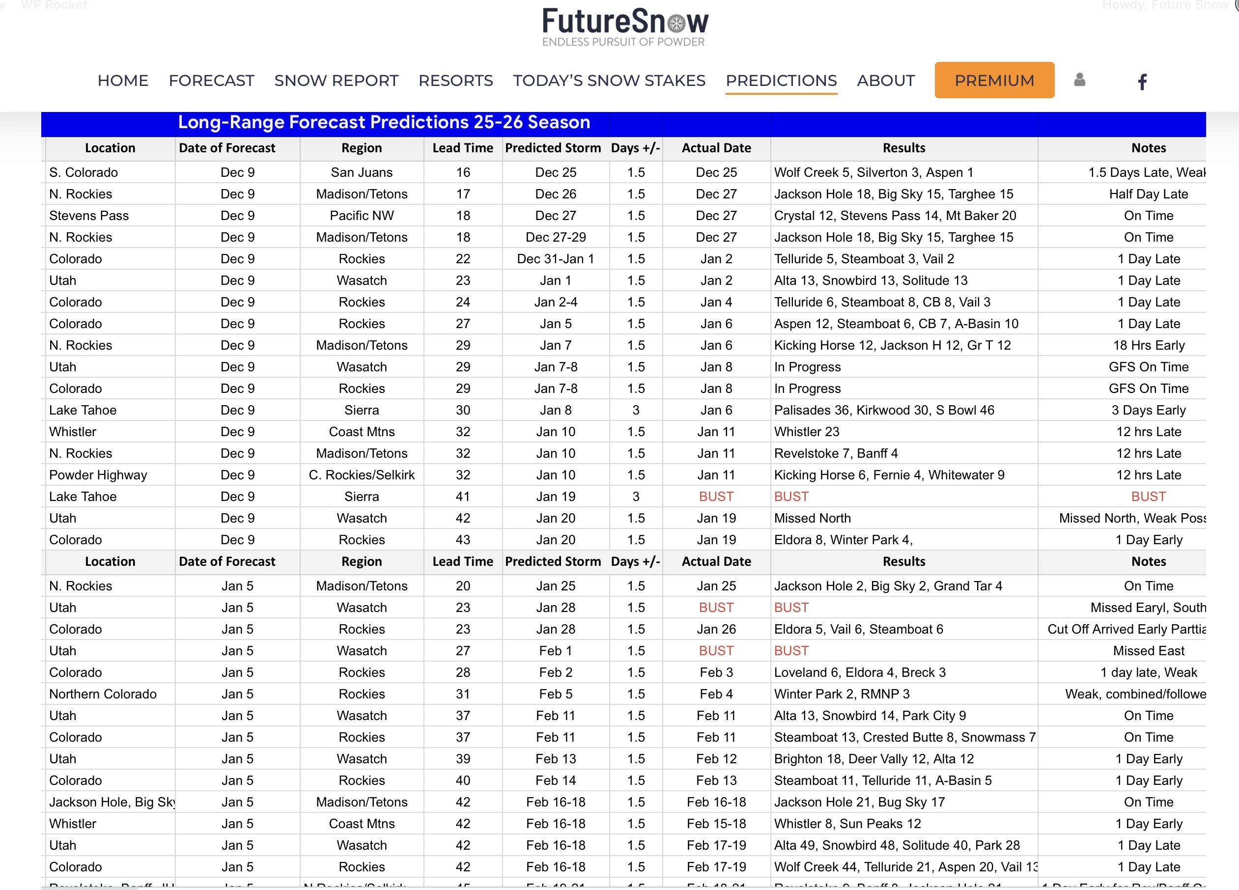 FutureSnow has been making and documenting long-range storm predictions for years.
In one of our published evaluations, we recorded nearly 90% accuracy in identifying predicted snowstorm events, with an average forecast lead time of 36 days within a day of the forecasted storm.
Long-range forecasting is never perfect, and these results represent our own historical verification. But they demonstrate why we believe there is tremendous potential in studying recurring weather patterns.
What Does This Mean for Snowmobilers?
Imagine being able to identify a potential major storm window in the Snowy Range, Rabbit Ears Pass, Togwotee, or the mountains of Montana and Idaho several weeks ahead of time.
Instead of choosing your trip dates and hoping the snow cooperates, you could use our long-range forecasts to help identify promising opportunities before making your plans.
And as those dates approach, we’ll follow the latest weather models to refine the forecast.
RMSC will continue providing the detailed snow conditions, interactive maps, and riding-area information you already rely on. FutureSnow will bring an additional long-range perspective to help you look farther ahead.
What we will be Sharing This Winter
Throughout the season, we’ll share weather discussions, upcoming storm forecasts, projected snowfall, and insights into the evolving winter pattern with the RMSC community.
One last thing, for everyone who becomes a member, you get free SnowCconcierge service. Just send us an email and tell us when and where you want to go and we will give you a detailed forecast up to 90 days in advance.
Over the last six years, hundreds of members have taken advantage of our free Snow Concierge service for trips all over the world. Japan, Iceland, Canada, Chile, Argentina and Europe.
 If you are new to FutureSnow and the cycling pattern, we will catch you up to speed. Click on the link and we will explain the terminology you will be reading on our blog, along with our methodology using the Cycling Weather Pattern. Thanks for joining our Team!


Recent Comments