Nov 23, 2024
Updated Snow Stakes Nov 24, 2024


Surface and All Snow Let It Go thru Dec 9th


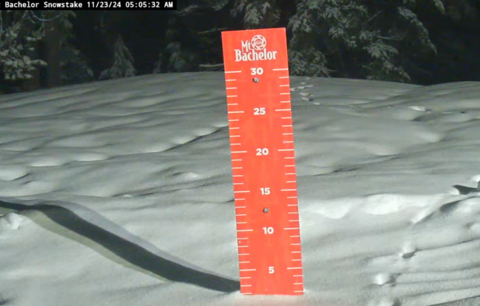
Daily Snow Stake (yesterday)


GFS Surface, GFS All Snow, Euro Ensemble Total Snow, thru Thanksgiving


Lake Tahoe 3-Day Totals from FutureSnow

Lake Tahoe NAM, HRRR, Euro Ensemble, NWS 2-Day totals, Surface Wind (6000 ft), Infrared GOES


PNW NWS, Euro Ensemble 2-Day, Euro Ensemble 4 Day, Infrared GOES


Utah NWS, GFS, HRRR, NAM Euro Ensemble Total Snow, Infrared GOES


Colorado NWS, GFS 3-Day, HRRR, NAM High Res, Infrared GOES


Forecast Summary
Tahoe
Our forecast for Tahoe is looking pretty spot-on so no changes to the snow totals–we’ll go with Fridays numbers. Heavy snow for the Sierra today and that begins to taper off tonight. Scattered showers on Sunday and then another wave comes thru tomorrow night, then another Monday, then another Monday night, then another Tuesday and then that’s it–probably.
Utah and Colorado

 Scattered snow showers today for Utah and very windy, as the front moves in tonight around 10 or 11. Heavy snow tonight with 6-12 for Alta, Snowbird, Brighton and Solitude by first chair tomorrow (Alta and Brighton are open). Tomorrow, snow all day with moderate winds. Snow totals in the 4-8 range.
In Colorado, it will be sunny and warm today before the storm tomorrow. Expect strong winds as the front approaches with ridgetop gusts in the 40-50’s, especially along the divide. Snow will move in in the afternoon on Sunday and will favor the northern mountains.
It will be a struggle for the San Juans and Central mountains, as the trajectory of this system favors the northern ranges.
Cycle length
This is a long pattern between 55-65 days. It is similar to the 21-22 cycle year where the cycle length was 64 days. During that season, there were two distinct patterns within the pattern. We had a regular pattern, where storms moved from the PNW southeast thru Utah and Colorado, and we had the “northern part of the pattern” where storms moved thru the PNW east, staying along and north of the US/Canada border.
This pattern is similar, and we won’t know if it will remain the same until we get through these next couple of weeks. When you look at the Long-Range Forecast Predictions for December, you don’t see many Utah and Colorado storms on there. This is because of the northern part of the pattern. That will flip around mid-December, and the Active Pattern will return for the Sierra and Rockies. In fact, if I am right on this pattern, from Christmas until late January should be very good–as long as we have the right teleconnection help.
 If we get help from the Madden Julian Oscillation (MJO) and the Artic Oscillation (AO) during the Northern Pattern, we can get bonus storms, as the whole pattern is amplified. All we need from the AO is neutral conditions, at the least, with an MJO that is in phase 6-7 or 8. Itis a plus to have strong negative AO with the aforementioned MJO phases.
Lastly, if we get agreement from the AO and MJO during the Active Pattern, look out. Then we will have a Trifecta like we had in the 19-20 season, where we had 60 inches in 5 days in Summit and Eagle counties, in February 20. I can’t believe it has been that long.
Predictions Summary
This is what we do at FutureSnow. We specialize in the long-range forecast so you can plan a ski or snowboard trip around powder. It is amazing to see this chart below, from last year. Now admittedly, I cherry picked this part of the chart that had only one bust, but it demonstrates the possibilities of weather prediction for the future. You can pick a flight, hotel, car etc. and not have to pay “last minute” prices chasing a storm 3 days out.
We are trying to increase our Facebook presence and especially followers. We are behind the 8 ball a little, because we are late to the party. So please introduce us to your friends and family who love what we love.

Here is the current list for upcoming storms. I will go into more detail about this list next post.

Thank you for reading the blog and as always if you have any questions, please email me at Mike@FutureSnow.co. We have received many great questions, and it is a pleasure to answer them, so don’t hesitate to ask.
