Summary
Storms are intensifying for Tahoe, Utah and Colorado today, holding steady in the southern Cascades and beginning to wind down, later today, in the northern Cascades. The energy from this storm gets caught up in the flow and will move with the jetstream today. The high-pressure system south of the Aleutians begins to diminish as both the Pacific North American Pattern (PNA) and Artic Oscillation (AO) trend towards the positive direction (both -2 presently).
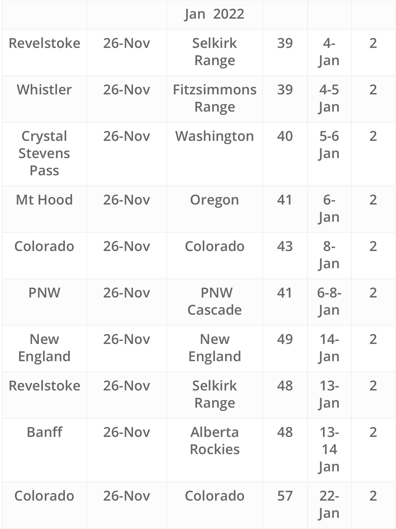
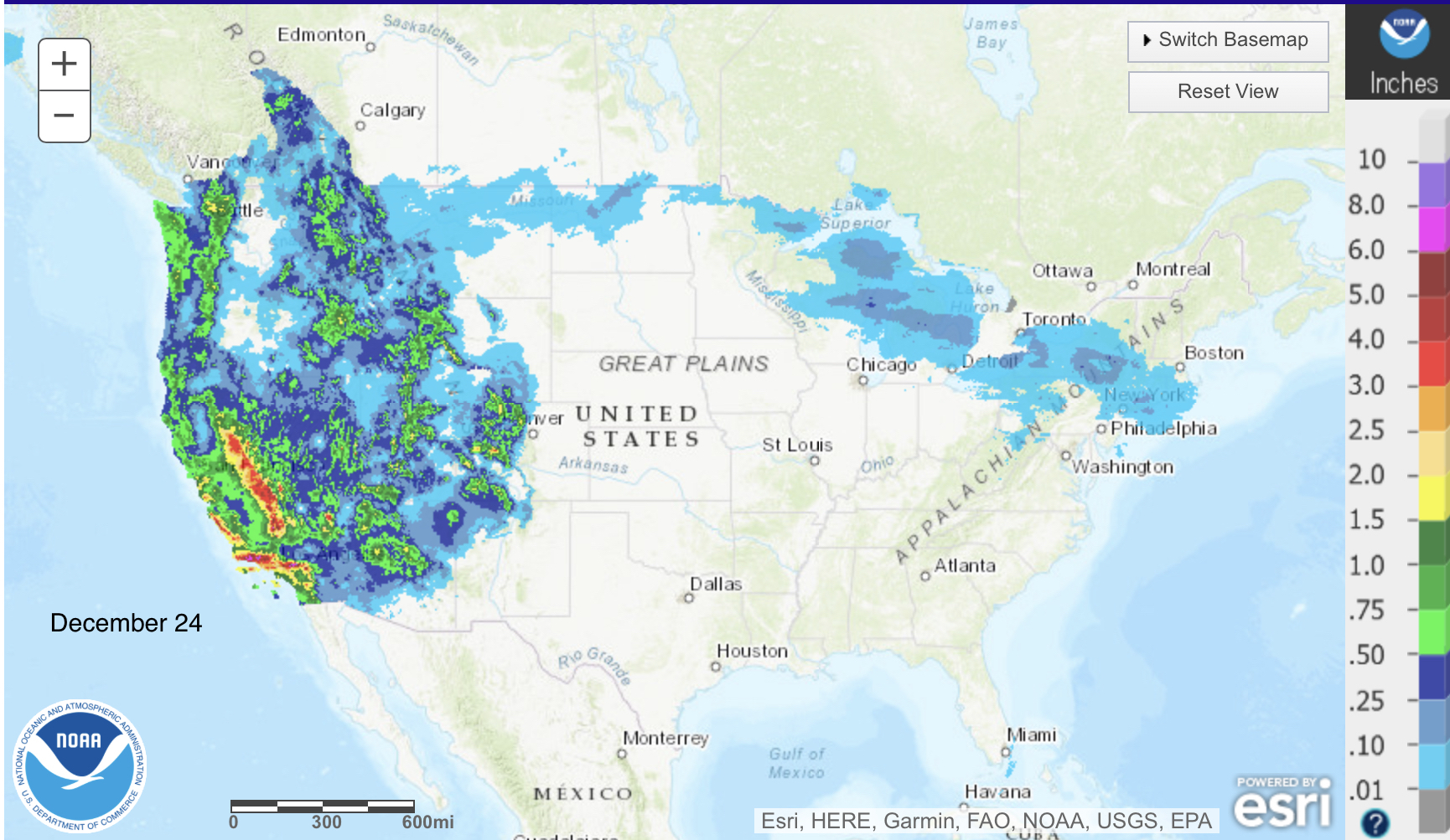
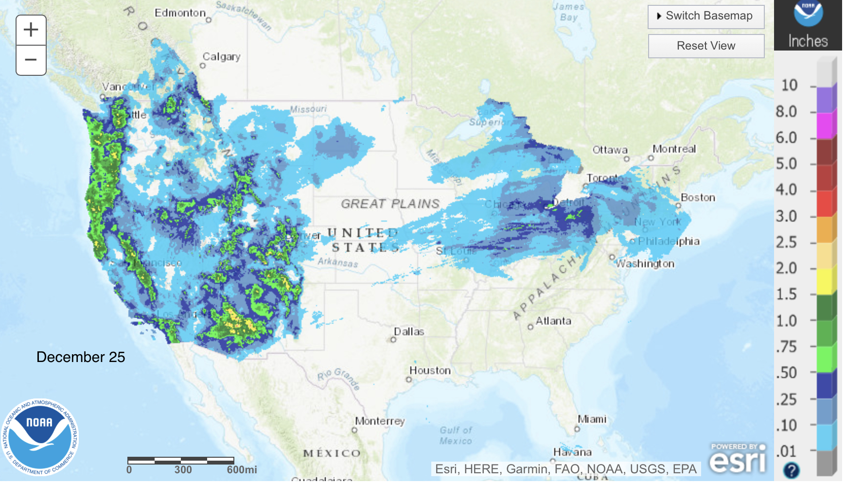
These next couple of charts are pretty impressive water days for the west.
Daily Stoke


Today
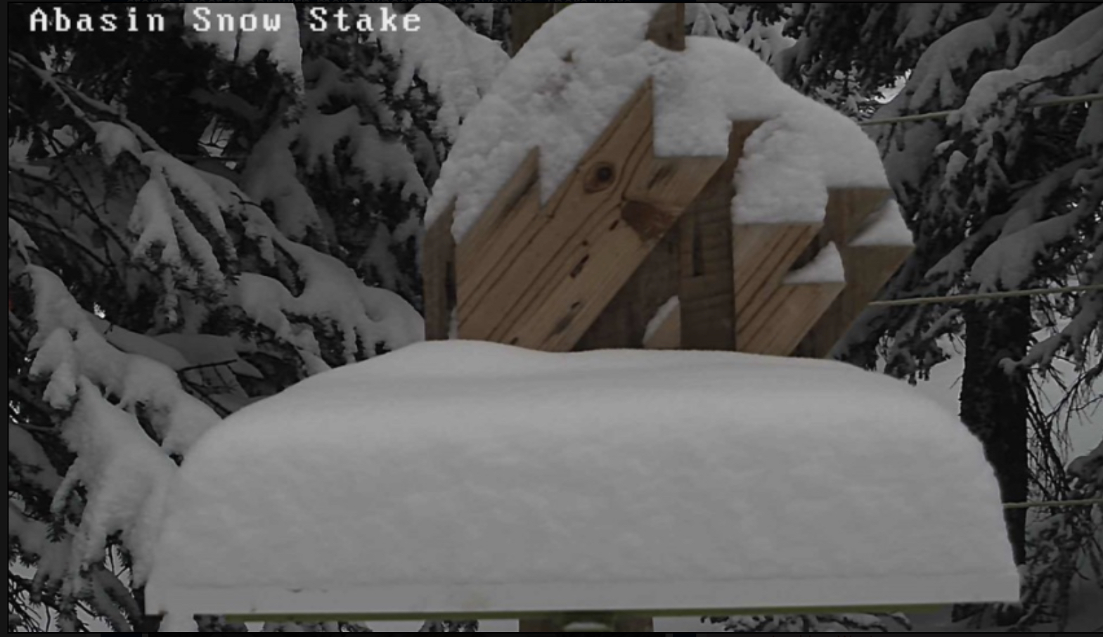
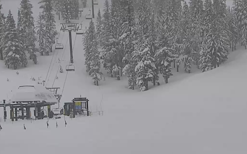
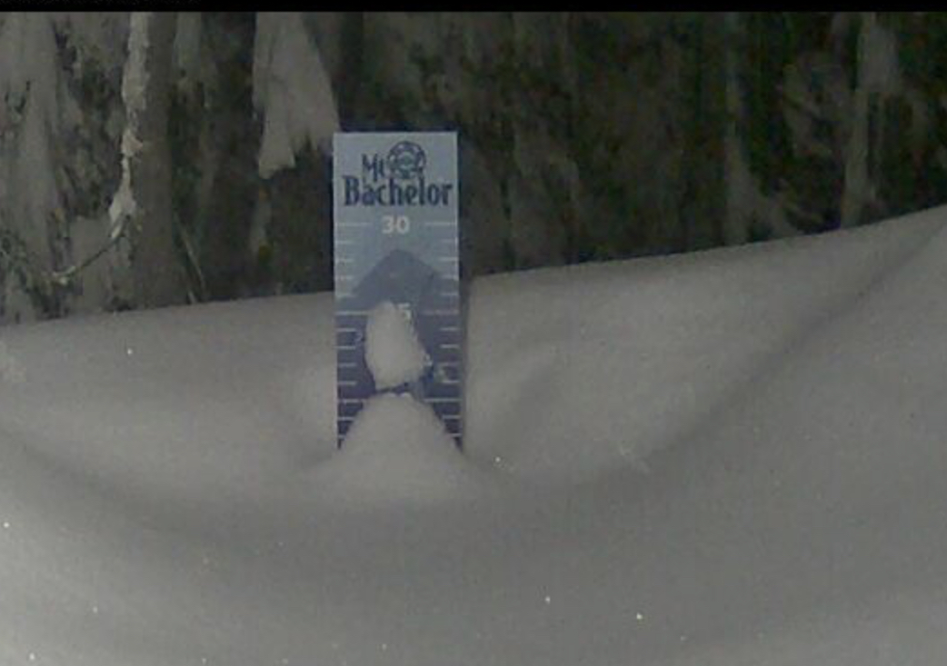
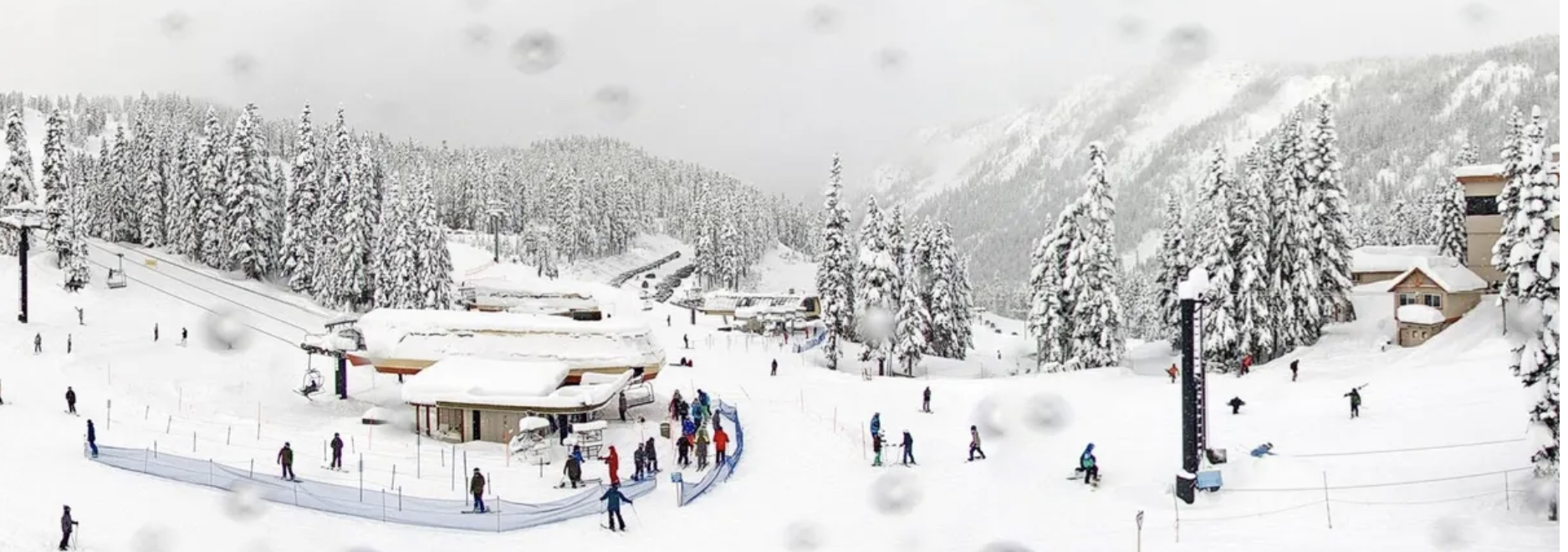
PNW
Cold and not as windy with wind chills in the single digits today. Northern Cascades another 2-4 as the storm moves out. Southern Cascades another 6-10.
TAHOE
A brief lull this morning as the storm intensifies later this afternoon. 10-15 for the North side and 2-3 ft farther south at Kirkwood.
UTAH
Super cold and windy with -15-20 wind chills. Very dry powder with 8-12 today.
COLORADO
CO gets the leftovers as it will be windy and cold with another 4-8 today for most mountains.
Monday and Tuesday
PNW
Bluebird skies Monday for the Northern Cascades with partly sunny skies in the Southern Cascades. Tuesday a small system comes through with a few inches of fluff possible.
TAHOE
Snow before 3pm as the system finally passes by. North side 4-8 and South Side near Kirkwood 12-20 (go south).
Tuesday: System wraps, there is a chance of snow as another small wave passes by.
UTAH
Cold temps and wind continue, although not as bad, if you think -5 is better. Another 10-12 of champagne pow, ho hum.
COLORADO
Another snow day as most mountains will receive another 5-10. Wind chills in the teens.
Future Snow Prediction Chart
Thanks for reading todays blog, as always, I want to encourage you to ask questions in the comments section. If you are planning a trip and would like to have detailed info, you can comment or email to Mike@FutureSnow.co