Summary
The storm wraps in Lake Tahoe but continues to roll through the west today with snow from Utah to Colorado. This system will wind down this afternoon for Utah and move out of Colorado on Monday. The next system hits Crystal and Mt Baker in Washington Tuesday, then takes a southeast track to Utah and Colorado and arriving Wednesday. Thursday should be good powder days for both Utah and Colorado.
Stoke
Forecast
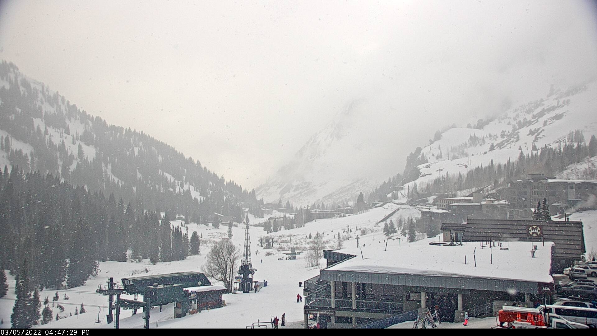
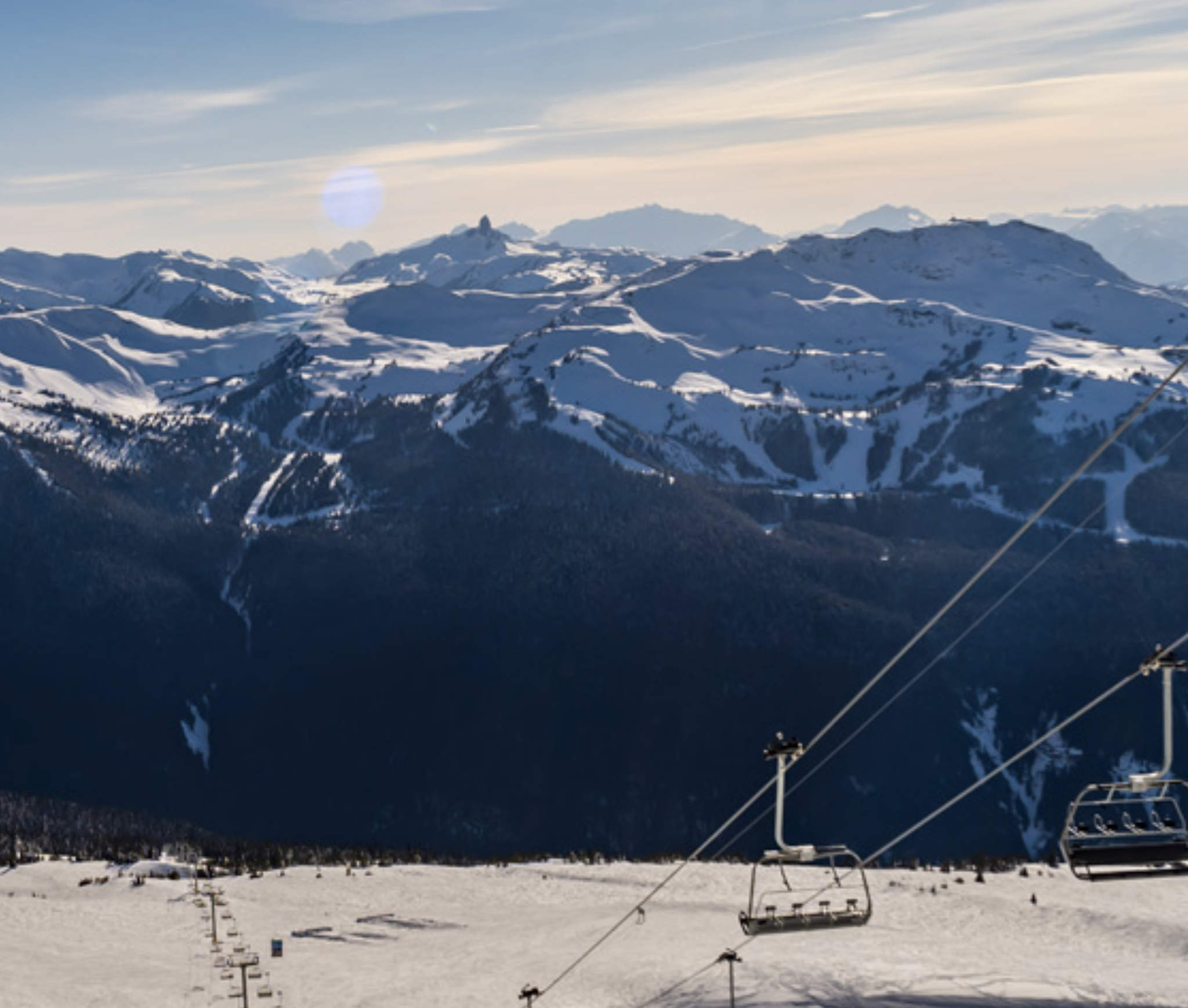
Utah
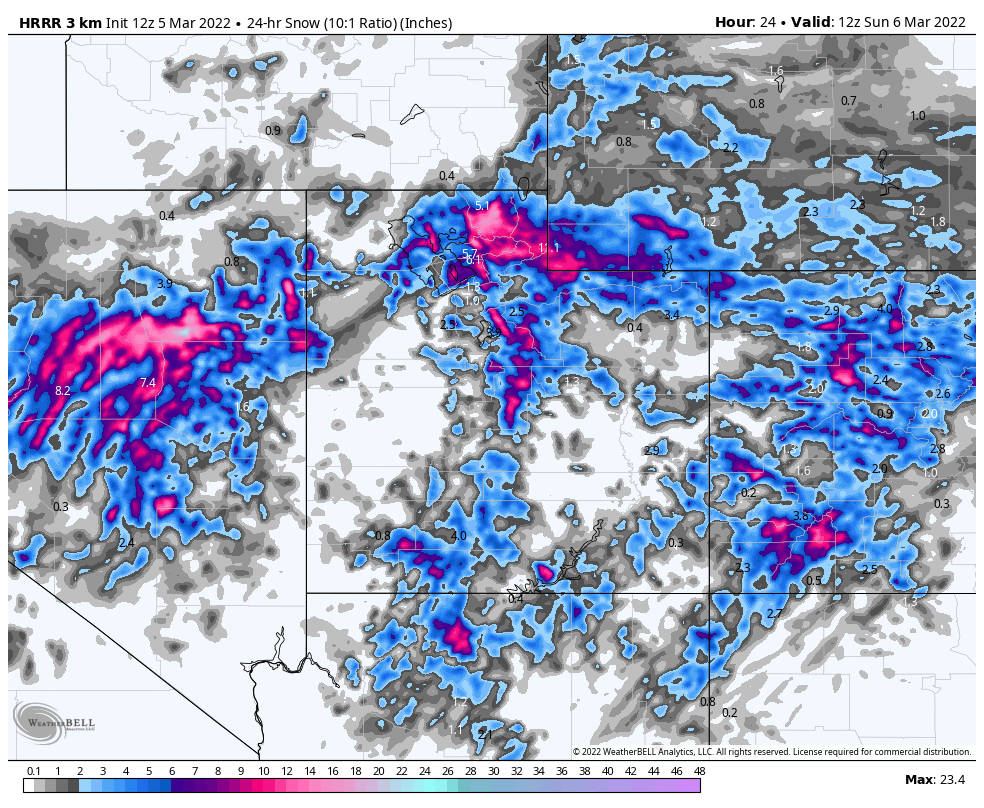
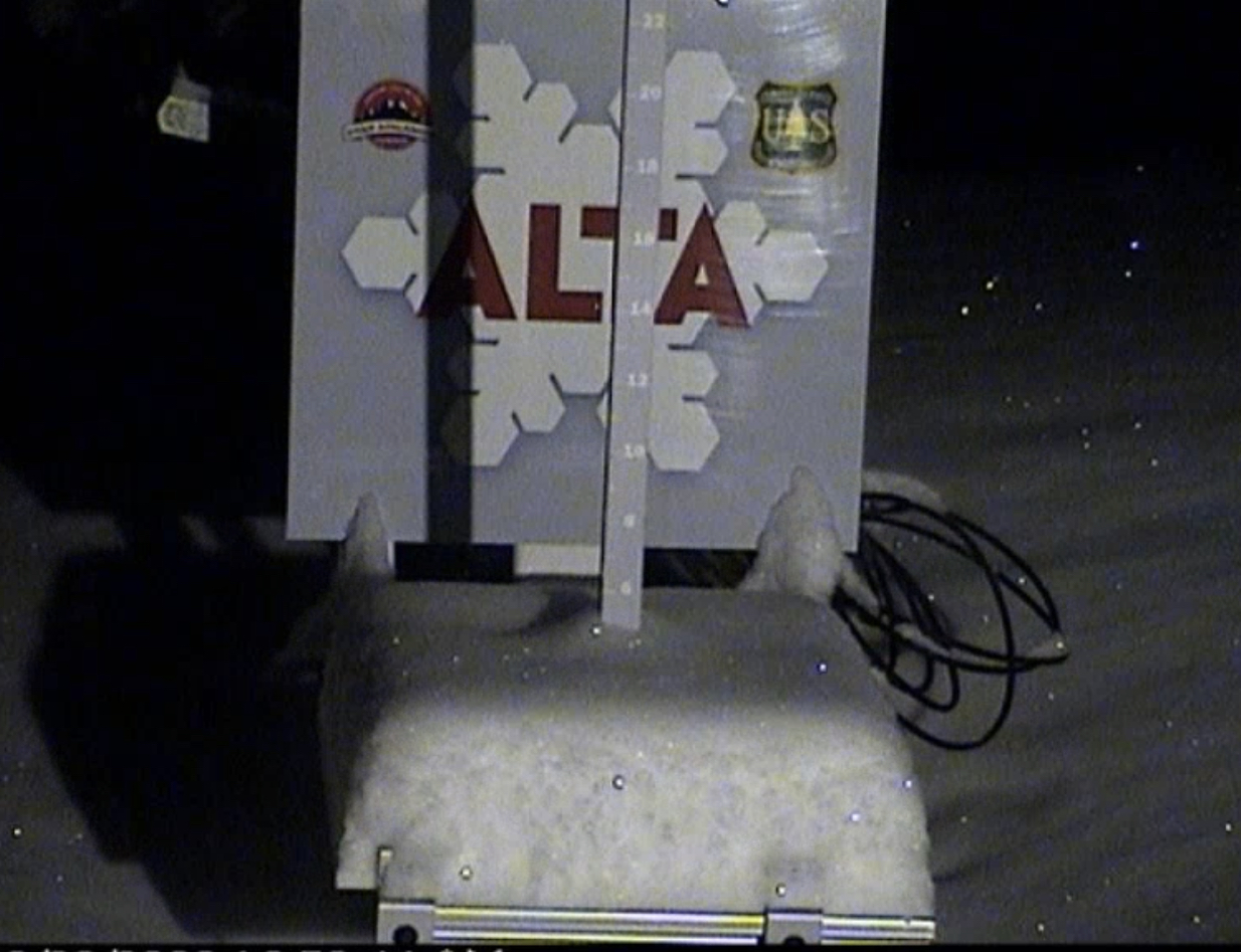
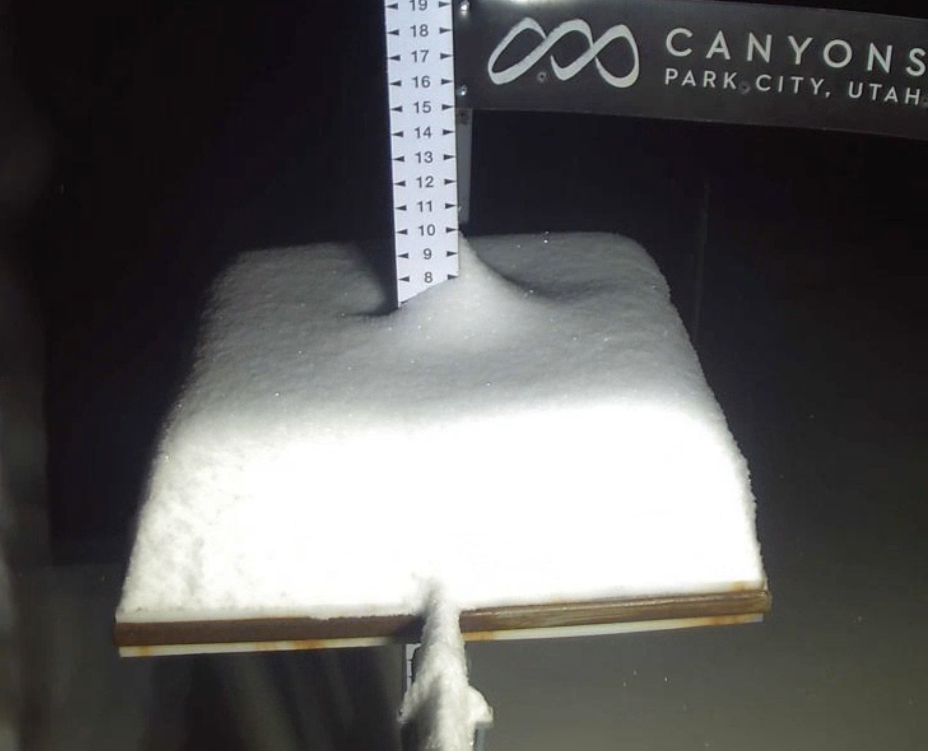
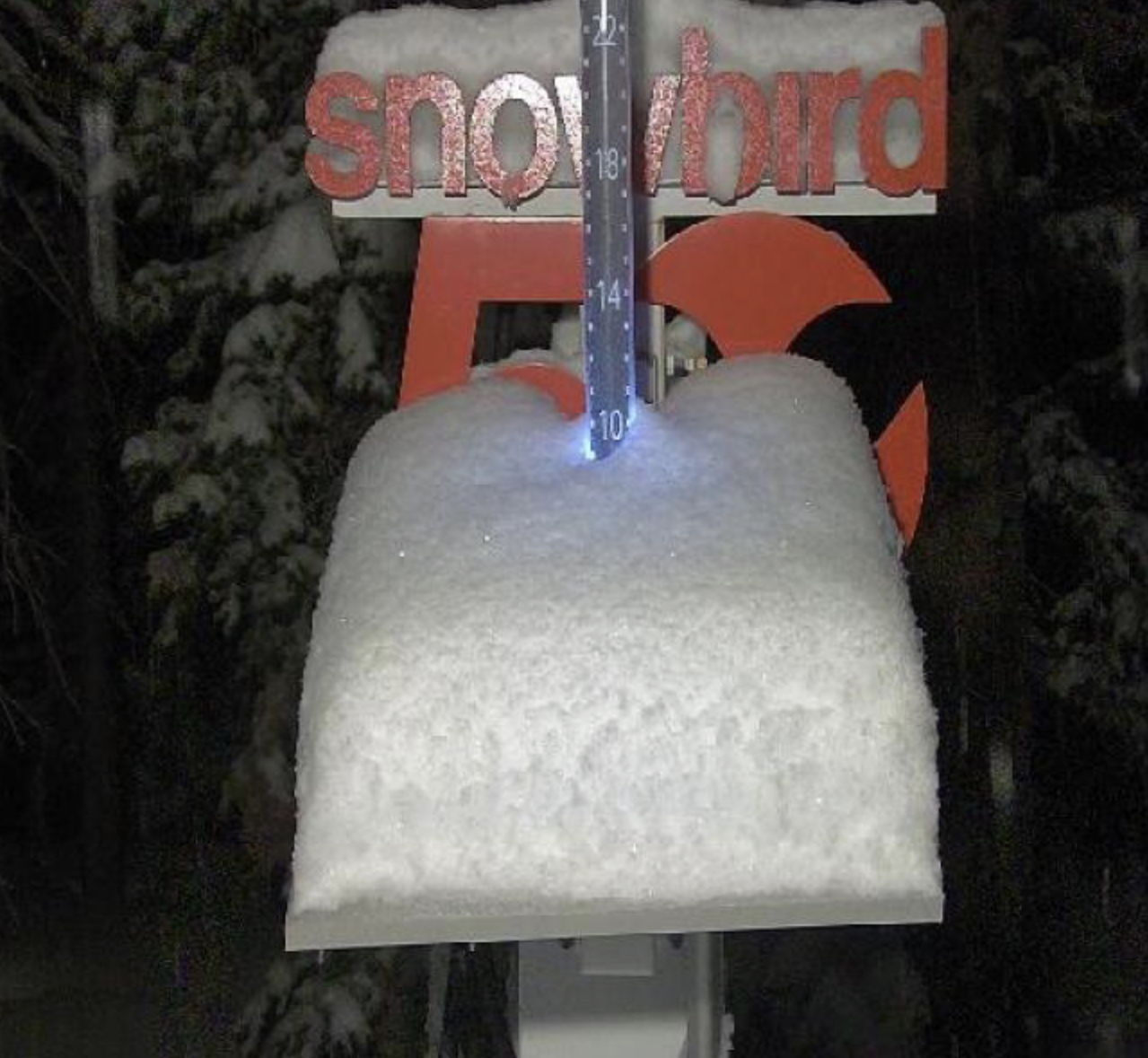
Both Alta and Snowbird have picked up good totals overnight (Snowbird 10, Alta 5) and today we will add another 3-5 during the day. The high will be in the upper teens with moderate winds from 10-15 mph.
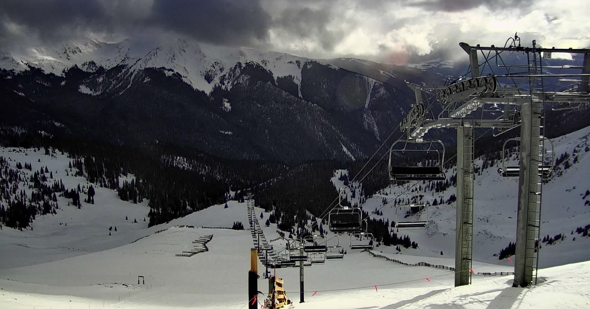
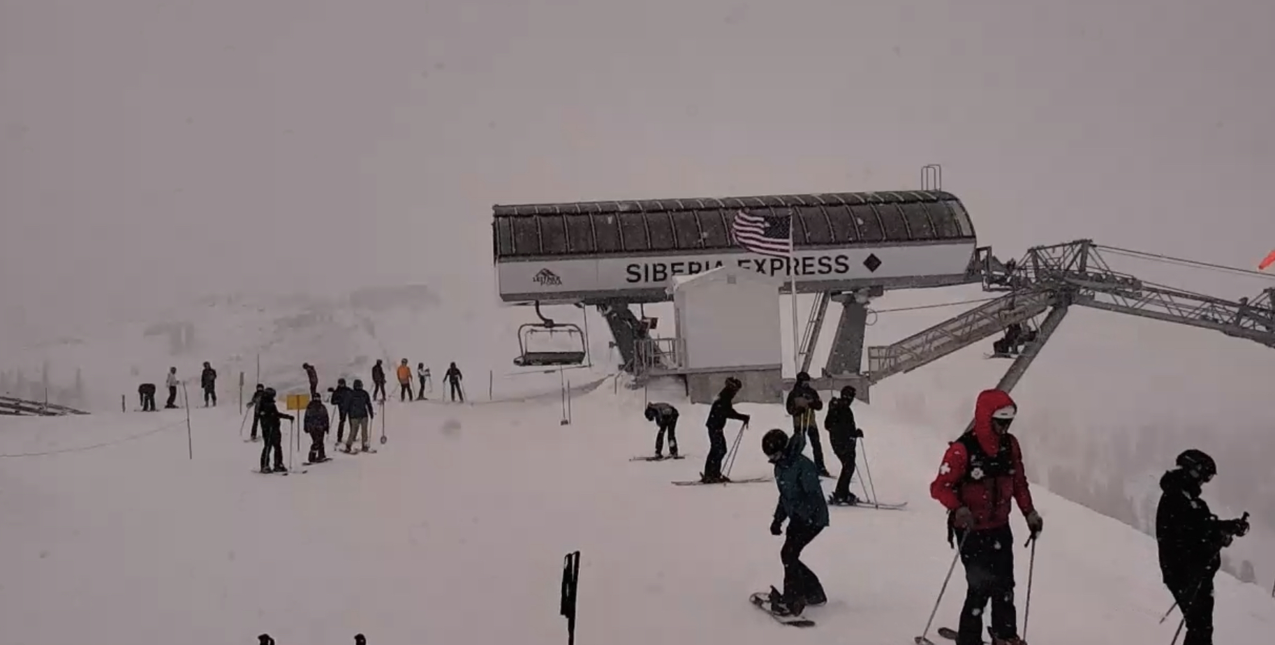
Colorado
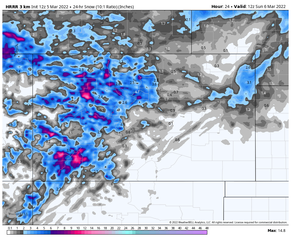
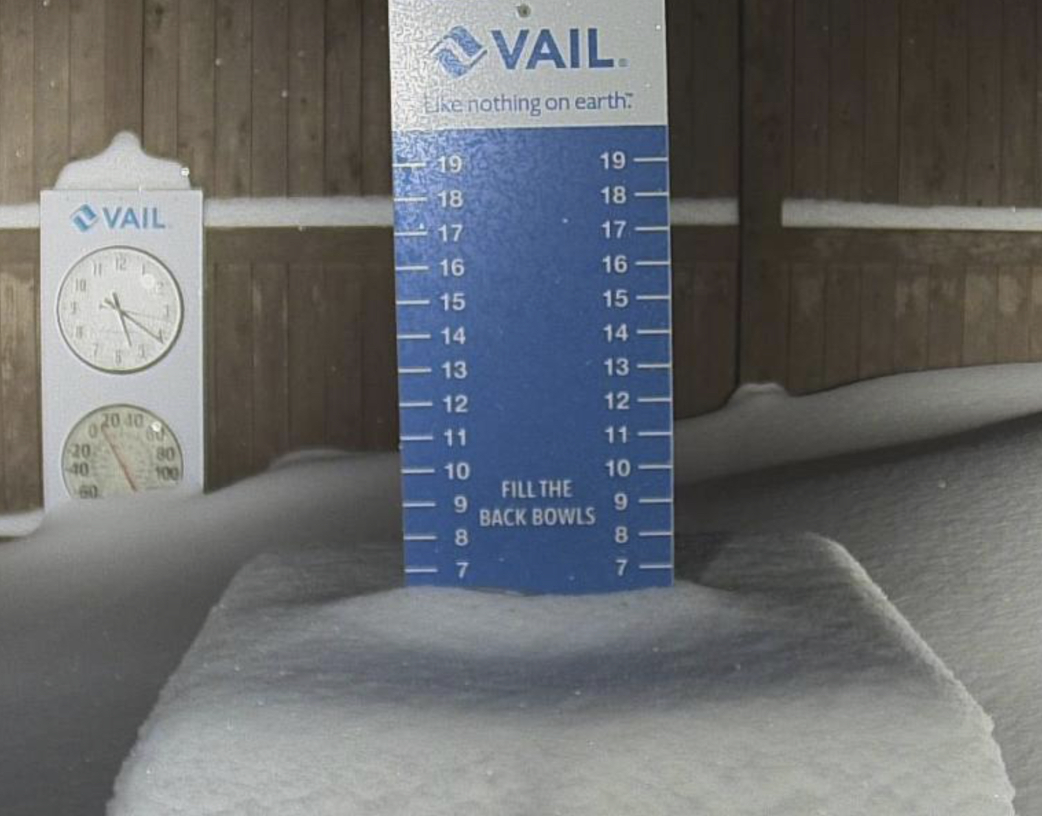
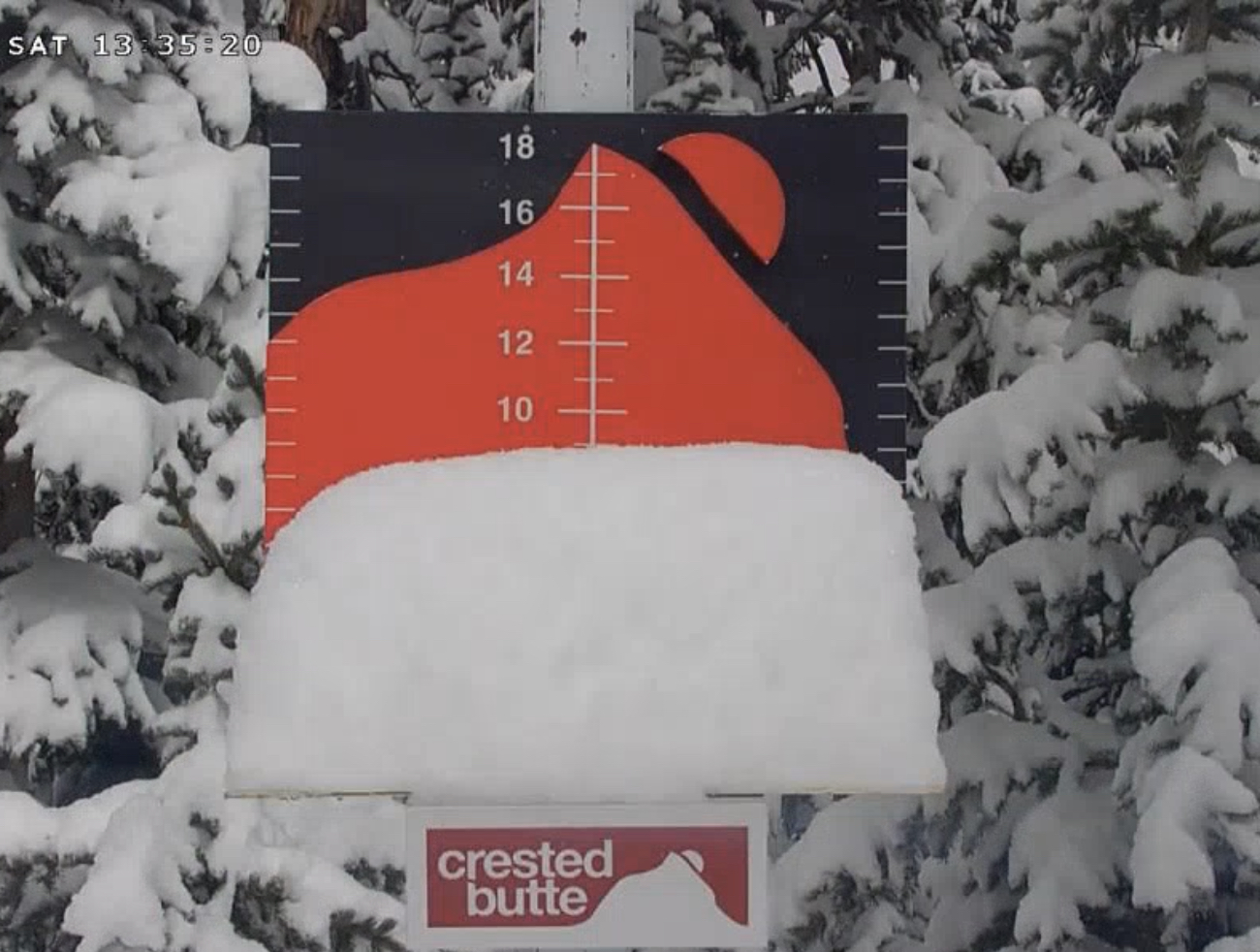
The second wave produced with Vail 6, Crested Butte 4, Telluride 3 and Aspen 6. Today, expect good snowfall with 3-5 during the day and another 2-4 overnight. The system moves out Monday with a few lingering snow showers. I don’t expect much but another 1-2 is possible.
All Pattern Storms thru Mid-April
| Colorado | 1-May | Nouthren Mountains | 18 | Mar 19-20 | 42-43 | 1 |
| Revelstoke, Banff | 1-May | Selkirk, Alberta Range | 21 | Mar 22-23 | 45-46 | 1 |
| Jay Peak | 1-May | Vermont | 23 | Mar 24-25 | 47-48 | 1 |
| Colorado | 1-May | Colorado | 28 | Mar 29-30 | 52-53 | 1 |
| Colorado | 1-May | Colorado | 31 | 2-Apr | 56 | 1 |
| Colorado | 1-May | Colorado | 41 | Apr 16-18 | 6-7- | 1 |
