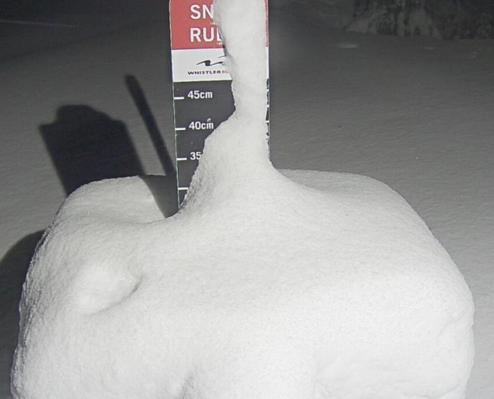
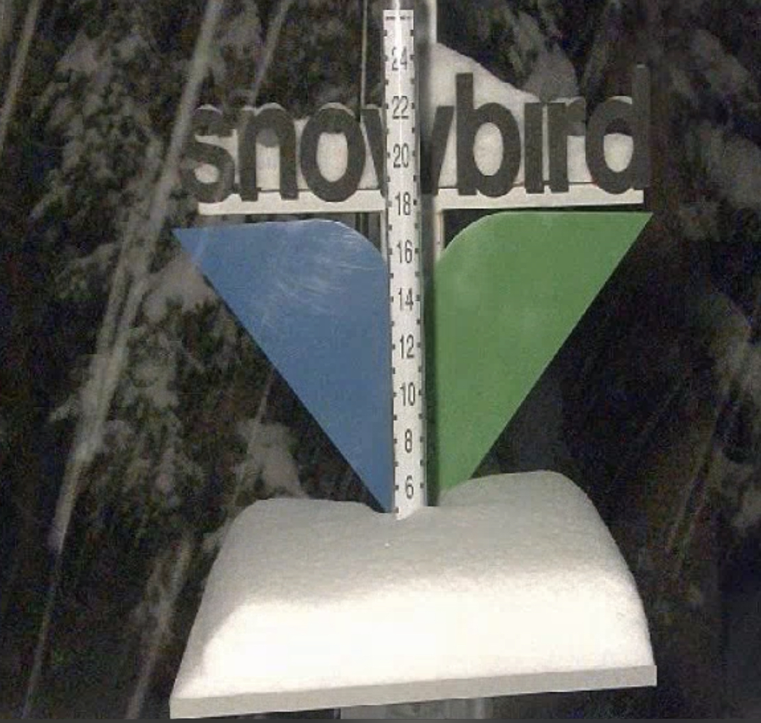
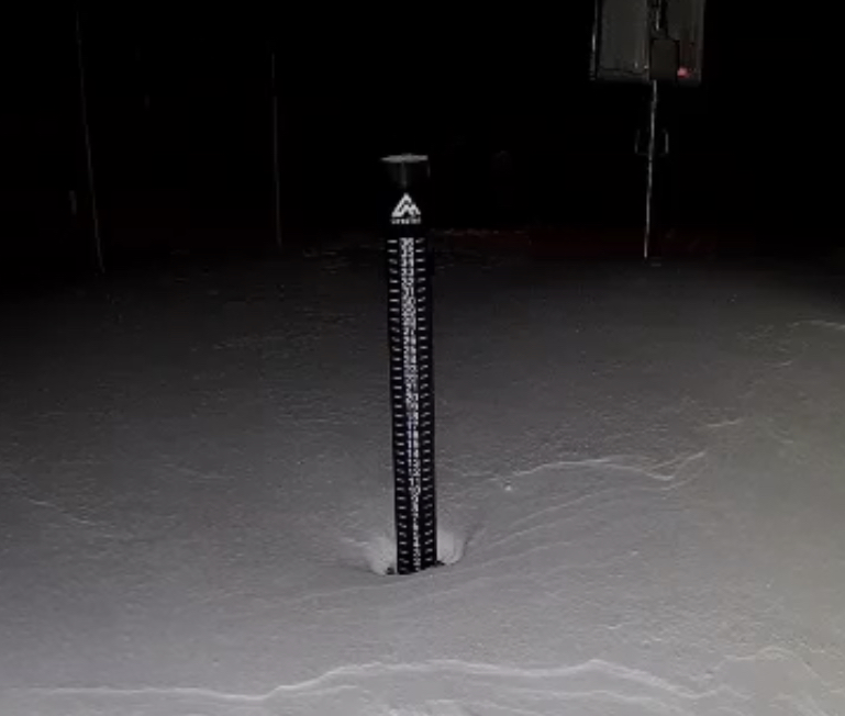
Snow Stake Cams

Forecast Summary
Heavy snow and Winter Storm Warnings for the Wasatch Mountains of Utah today, until it exits around 5 pm, as the storm moves through the state on its way to Colorado, this morning. Colorado will have light snowfall today with modest amounts, with slightly better snowfall rates this evening.
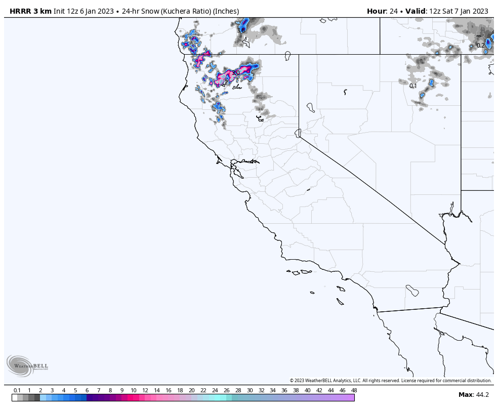
Meanwhile, back on the west coast, the Tahoe storm has exited to the north and is moving through the Cascades. Snow levels are again in play for lower elevations with a wintery mix possible for the northern Cascade resorts.
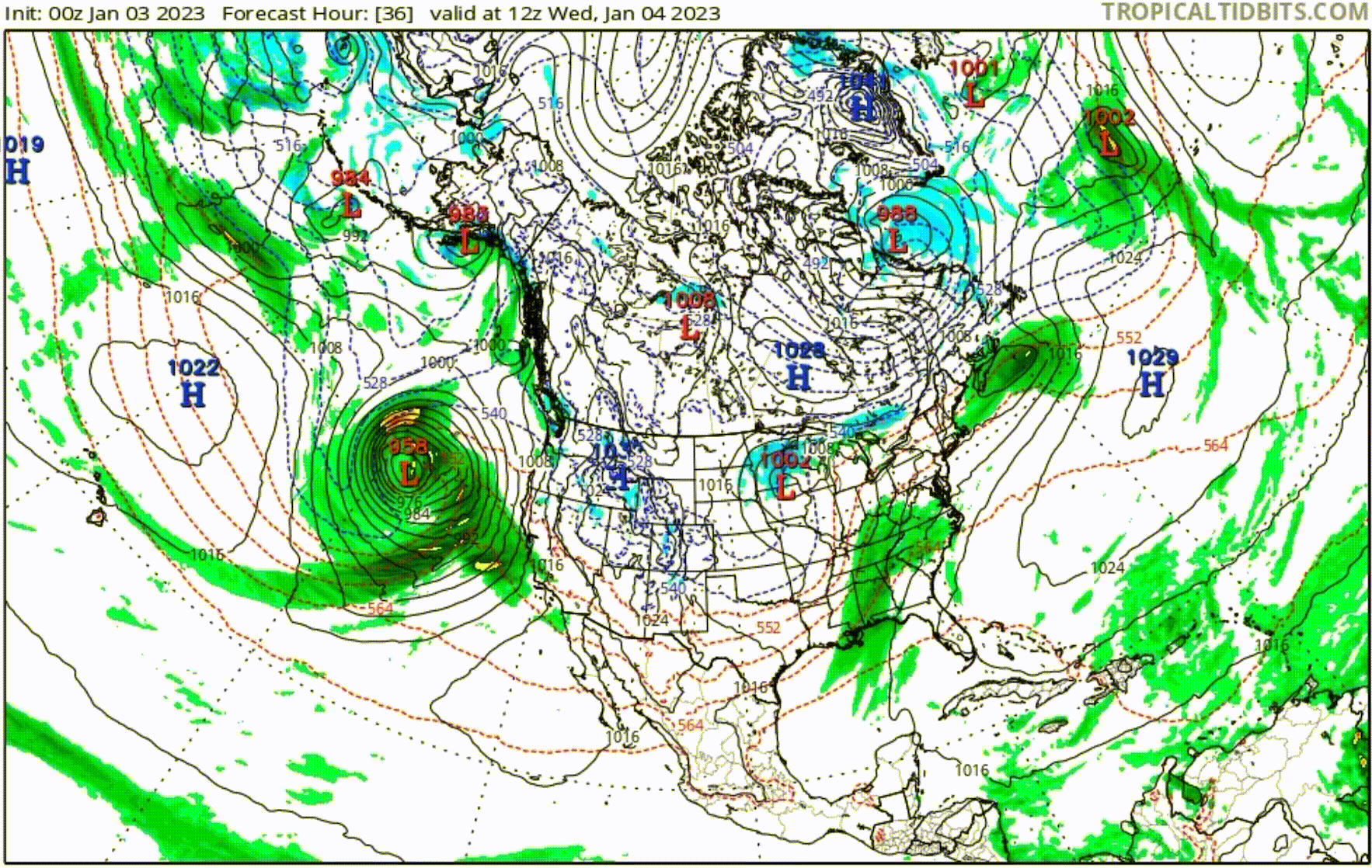
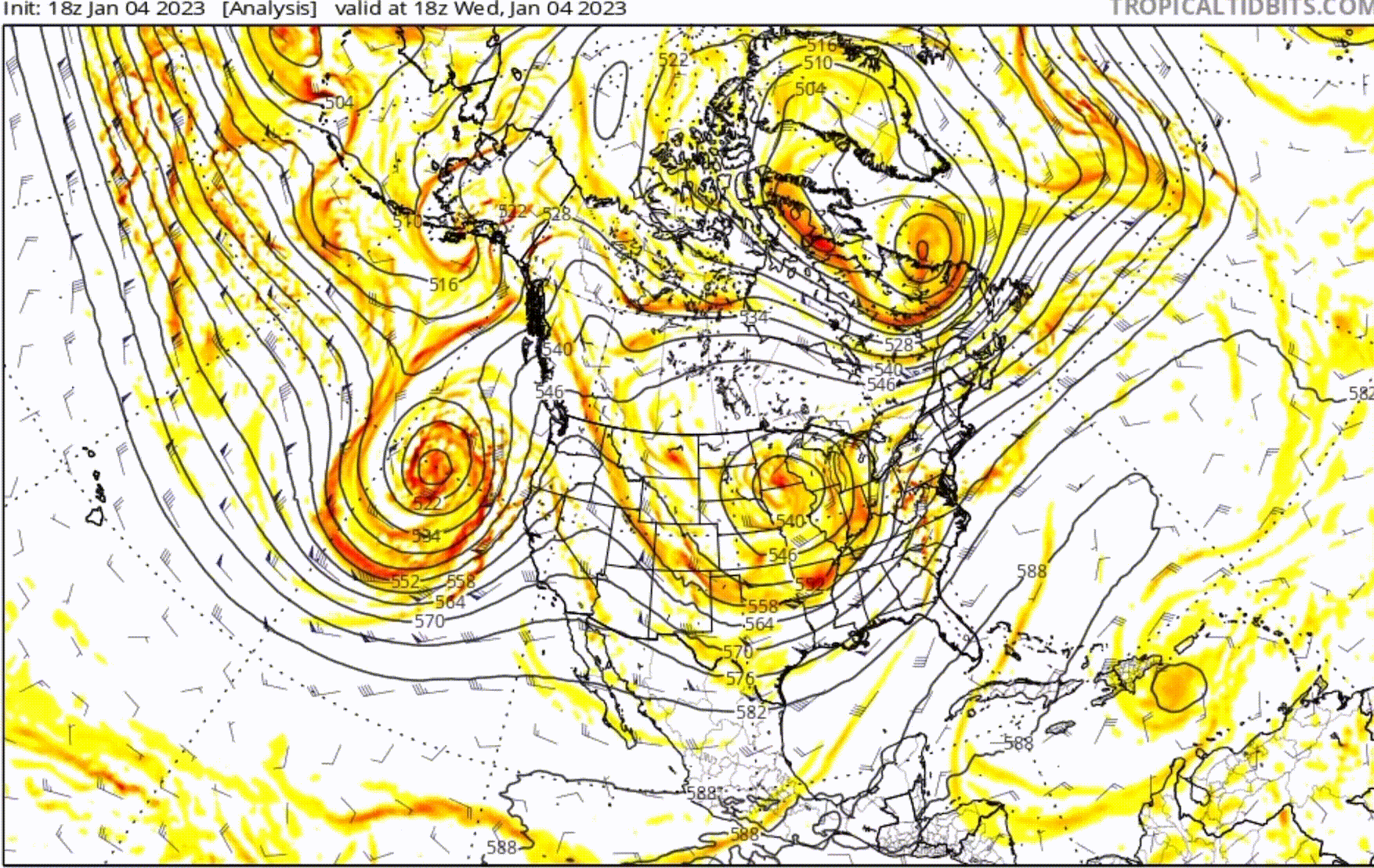
The next storm system is off the coast and churning towards the Lake, with yet another example of this year’s new pattern. Below are GIFs of the surface (MSLP) and the 500 millibar level, that is about halfway up in the atmosphere where most of the energy is. These animations show the motion and new track, to this year’s pattern. In the MSLP, watch the Low’s circle the drain in the Gulf of Alaska.
Forecast
Lake Tahoe
Today
Sunny skies today with the high temperature around 30 at base level. Winds will be from the southwest at 5-10 mph with occasional gusts around 15 mph.
Tomorrow
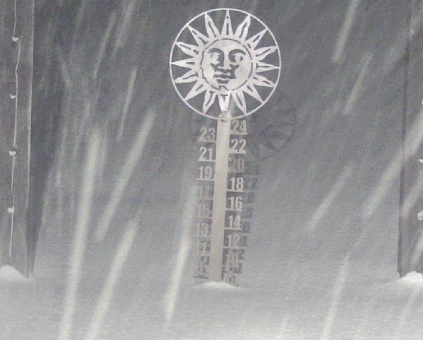
The next wave moves in early tomorrow morning, but there is not much moisture associated with this wave. Expect 1-3 throughout the day. Temperatures will be around 30 degrees at lake level.
Tomorrow Night: we get cranking. Expect 6-12 for Mammoth, Kirkwood, Homewood, Boreal and Sugar Bowl with slightly smaller amounts for Dodge Ridge and Palisades in the 4-8 range. Heavenly coming in last with 3-5.
Sunday
Storm continues throughout the day and evening with another 8-12 for Mammoth with Kirkwood 6-10, Tahoe Donner, Homewood, Mt Rose, Sugar Bowl and Palisades 4-8. Heavenly 2-4,
Pacific Northwest
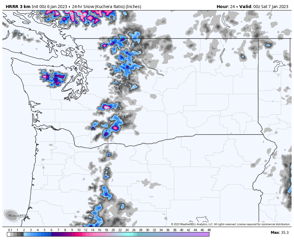
Today
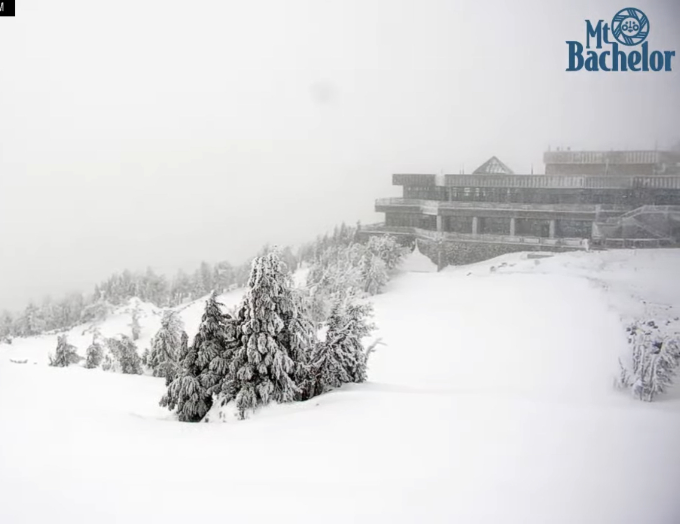
Generally, we can expect 2-4 for Mt Hood today with another 2-4 overnight. For the Northern Cascades, Mt Baker, Crystal and Snoqualmie in the 1-3 range. 49 Degrees North, no snowfall until Tomorrow.
Next wave moves in tonight. Expect another 2-4 across the board, that will be all snow. Tomorrow, the system moves out with an additional 1-2 before it exits.
Tomorrow thru Sunday
Scattered snow showers will remain in place through Sunday night when the next system arrives overnight.
Next System Sunday Night/Monday
Utah
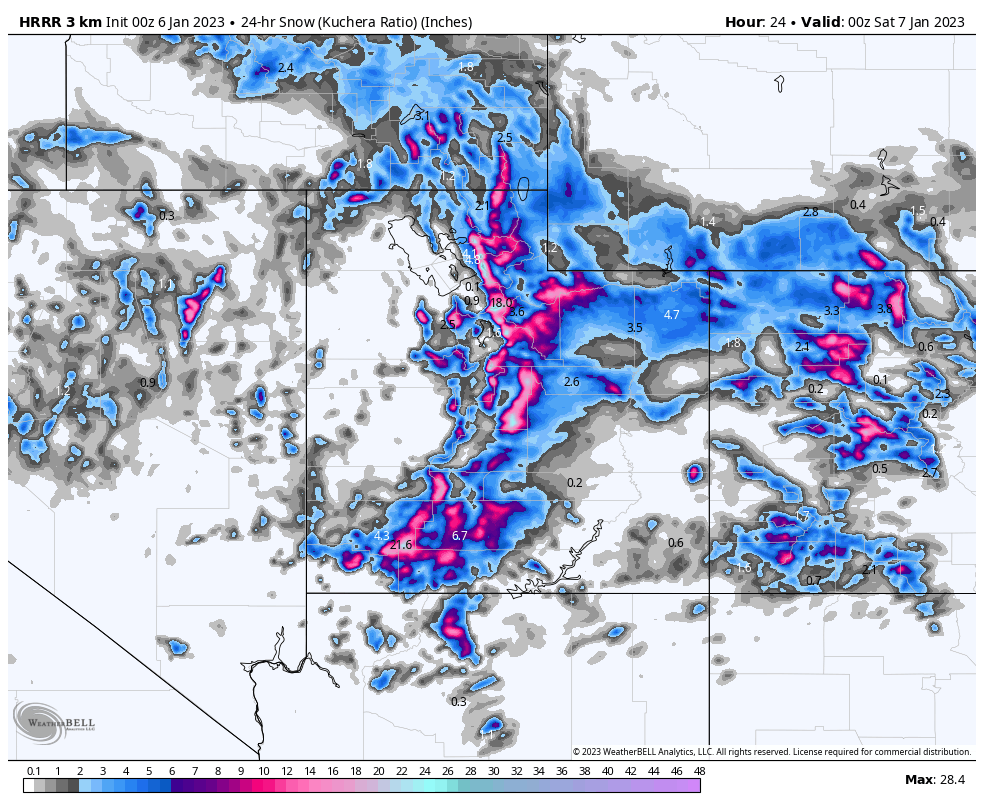
Today
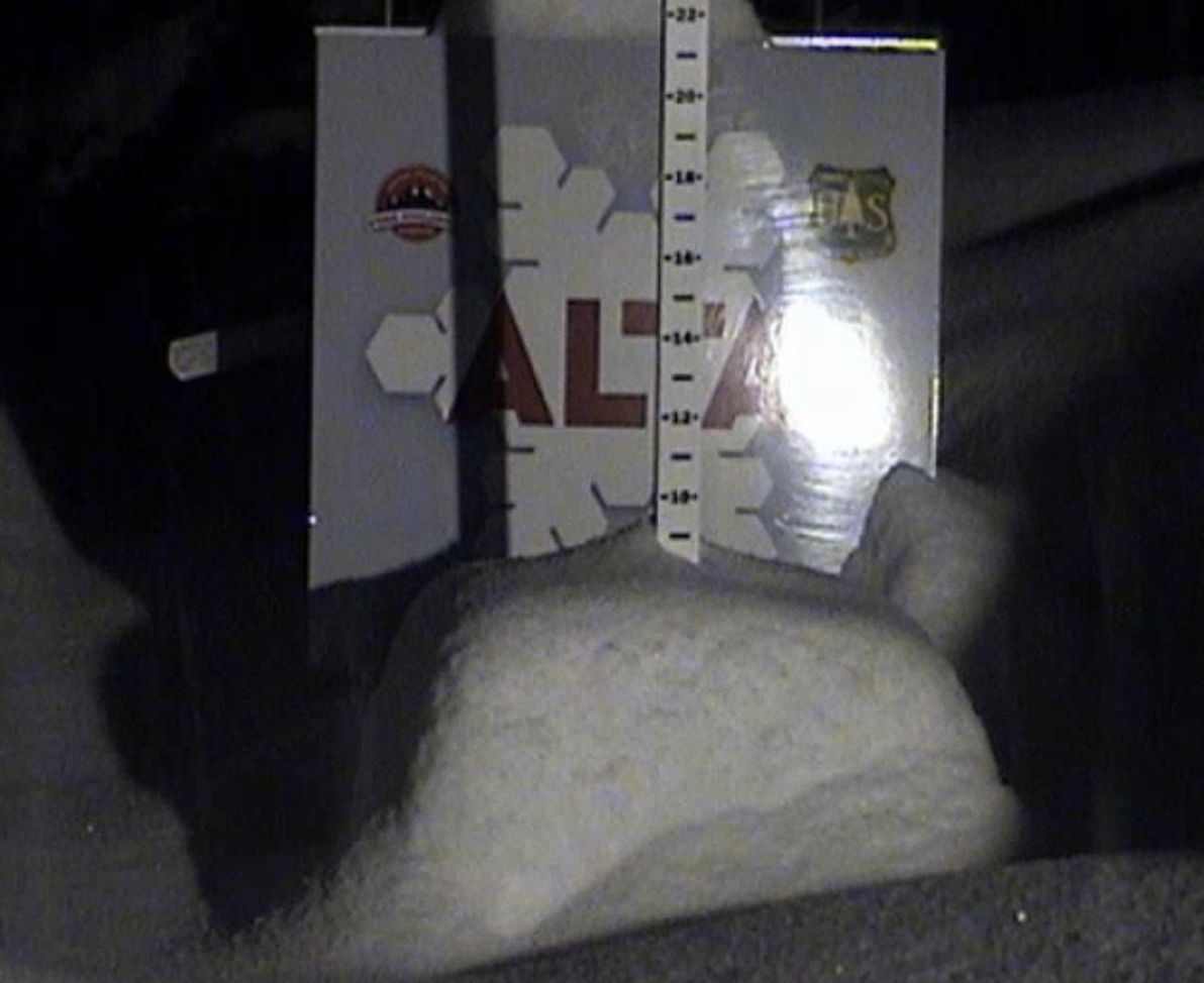
Snow continues with colder temperatures and moderate winds 10-15 mph. Expect another 5-10 throughout the day at Alta, Snowbird and Brighton, with Park City and Deer Valley in the 2-4 range. Storm exits by 5 pm.
Small Wave Possible Sunday
Colorado
Today
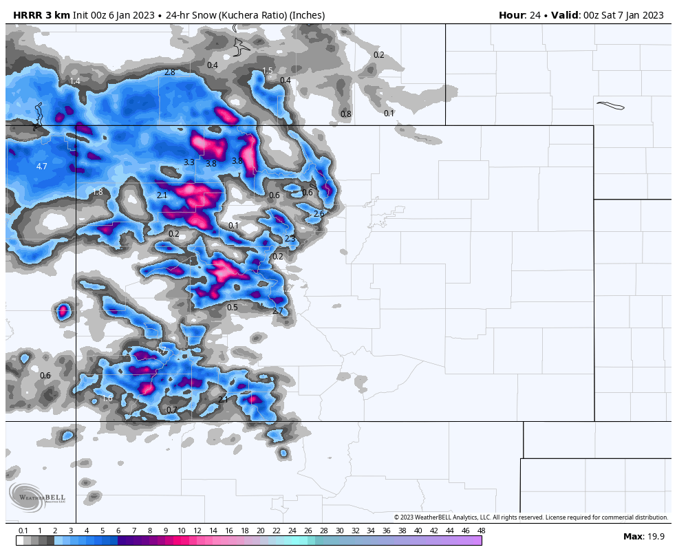
Generally, expect storm totals of 2-4 for the southern and central mountains, and 3-6 for the northern mountains. Temperatures will be around 30 degrees at base level with light to moderate winds in the 5-15 mph range.
We will have a dry period from tomorrow through Monday with the next system moving in Monday night.
Long Range Forecast Predictions
 Forecasted Areas
Pacific Northwest Cascade Mountains
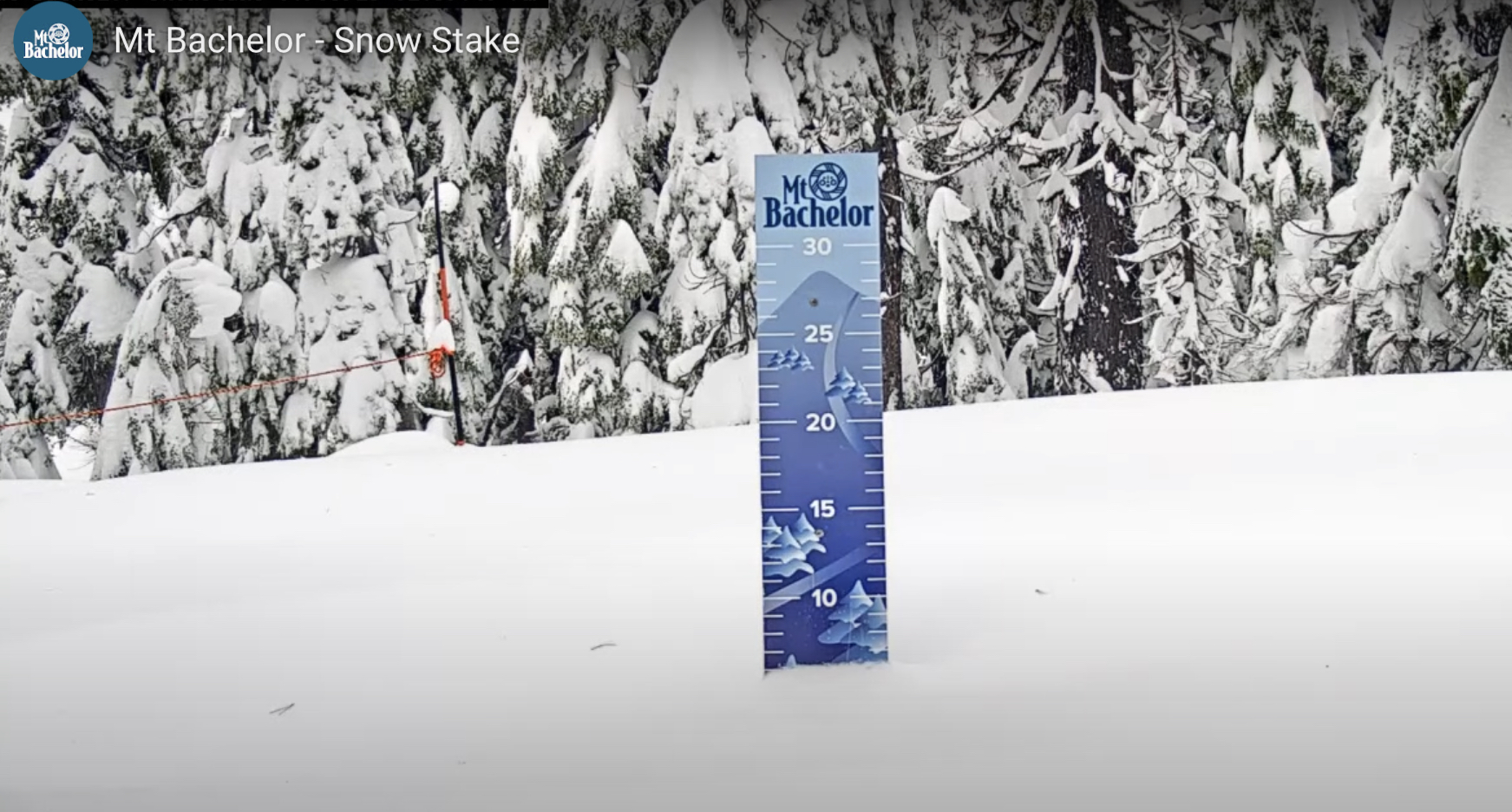
Crystal Mountain, Mount Hood Meadows, Timberline, 49 Degrees North, Bachelor, Mt Baker,
Lake Tahoe Sierra Mountains
Heavenly, Palisades Tahoe, Kirkwood, Dodge Ridge, Donner Ski Ranch
Utah Wasatch Mountains
Alta, Park City, Deer Valley, Brighton, Snowbird, Brian Head
Colorado Rocky Mountains
Aspen, Aspen Highlands, Snowmass, Vail, Beaver Creek, Winter Park, Keystone, Arapahoe Basin, Breckenridge, Copper Mountain, Powderhorn, Ski Cooper, Telluride, Crested Butte, Silverton, Wolf Creek, Eldora, Loveland

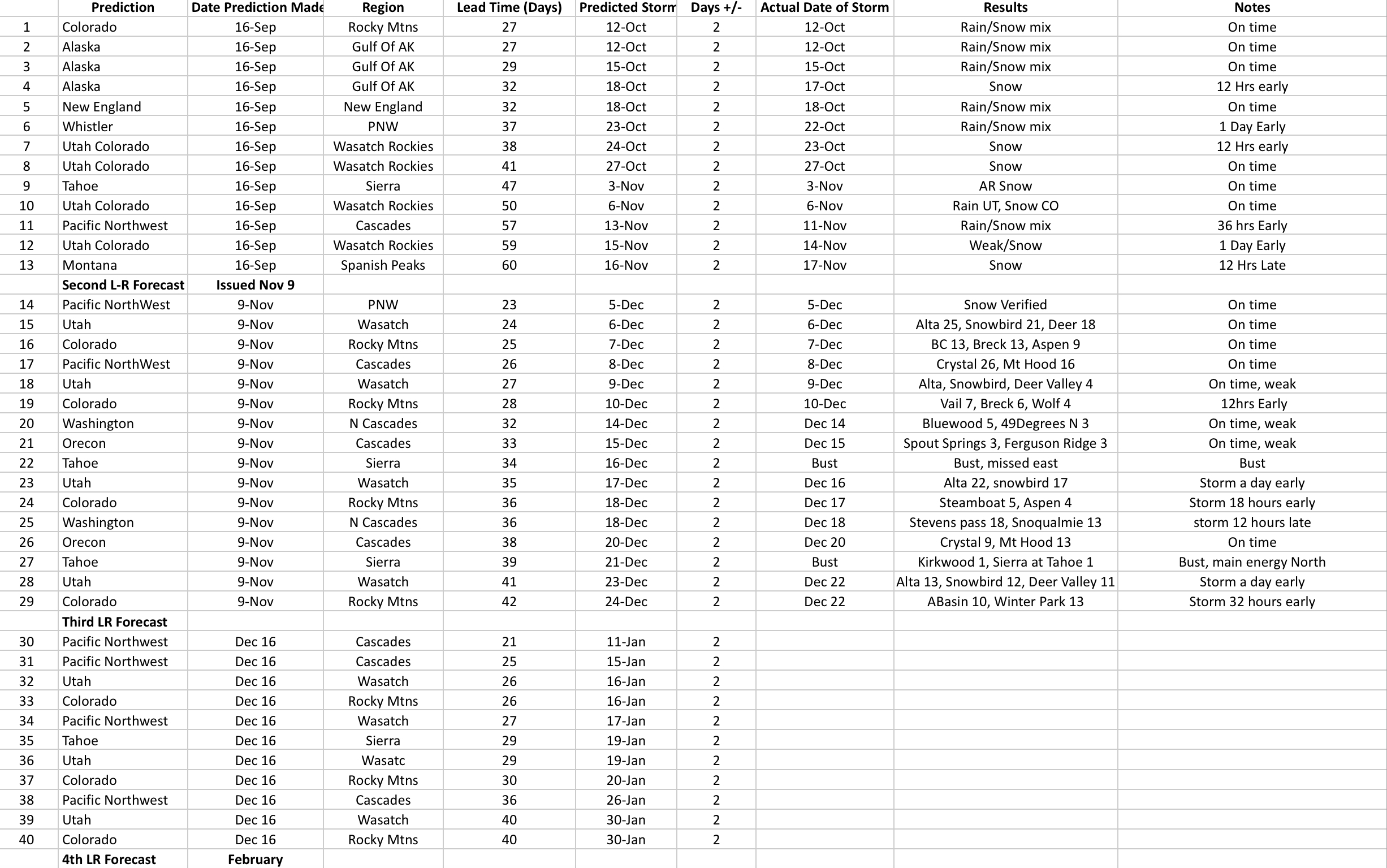
When do you think you might post the long-range predictions for the rest of the winter? Thanks!
I am working on that right now. It will be released by tomorrow at the latest. Thanks Tom
Thank you!