
Summary
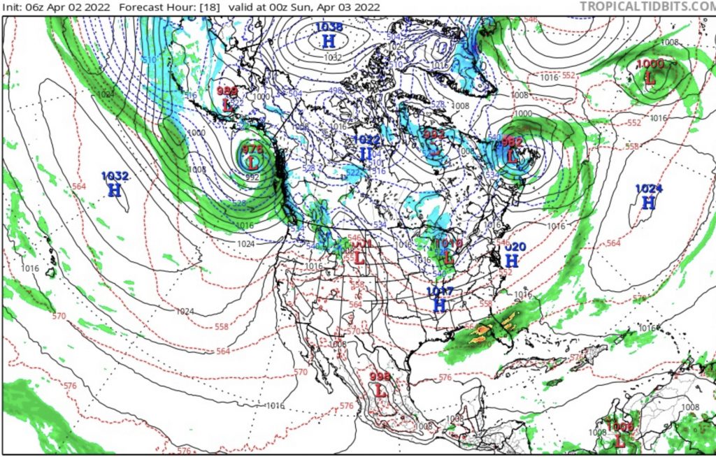
This weekend’s storm details are beginning to become clear, as the models converge on a solution. Below are the various models and their liquid precipitation, the last shot is the Euro blended model. I am not getting my hopes up just yet, but this has all of the ingredients of a good winter storm.


Cold air, check. Strong vorticity, check. Solid history, check. It may snow after this storm, but this is the last good one, and if it holds together, one to remember. I have a fond memory of a May storm at Arapahoe Basin–about 13 inches of blower powder with white-out vertigo conditions. That was a El Nino year and A-Basin was open that year until July.

Approaching Cold Front
If you know ABay you probably follow Als Blog. Alan Henceroth is the COO of Arapahoe Basin and has a nice blog about events and resort statis. On his blog, they announced that they closed the Pallivicini lift on May 9th. That is a lot of good terrain that likely won’t be open, but with a cold storm and deep totals, would they consider reopening?
I reached out to Al and asked him that question, he said “While not impossible, I think it is highly doubtful. The lowest elevations have seen too much melting”. So, you’re saying there’s a chance!
History of this Storm
 Cycle 1: 2-day total Breck 13, A Basin 9
Cycle 2: 1-day Winter Park 6, A Basin 3
Cycle 3: 2-day total Vail 10, A Basin 7
Summary of Remaining Pattern Storms
May 20-21 Last storm of Active West Last Active West storm and transition to the Northern Pattern. Hit in all 3 cycles for Utah and Colorado
June 5-6 AR 4th Straight for Seattle?
Possible 4th AR, as we gaze into our crystal ball for June
The last item I am personally looking forward to occurs on June 5-6th (days 56-57). That is when a possible fourth atmospheric river (AR) event is scheduled to hit Seattle. Below are the 3 previous charts that show the variations the last three times through beginning with cycle 3 down to cycle 1.
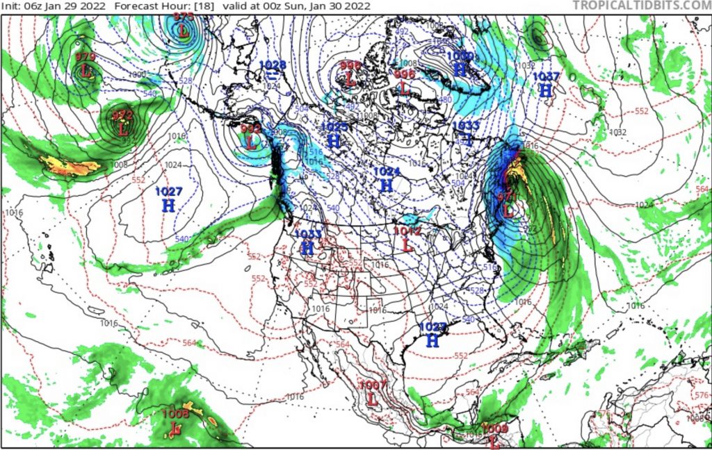
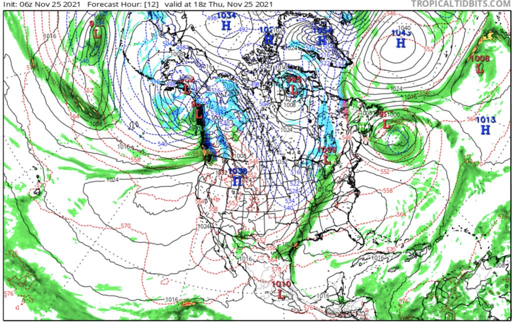
Looking at the charts you can see the low pressure in the Gulf of Alaska with an AR extending out in the Pacific in all charts. There are slight differences between them that are variations of the pattern.
Cycles mirror each other every other cycle. This year that means the variations in cycles 2 and 4 are alike, and cycles 3 and 5 are alike.
