
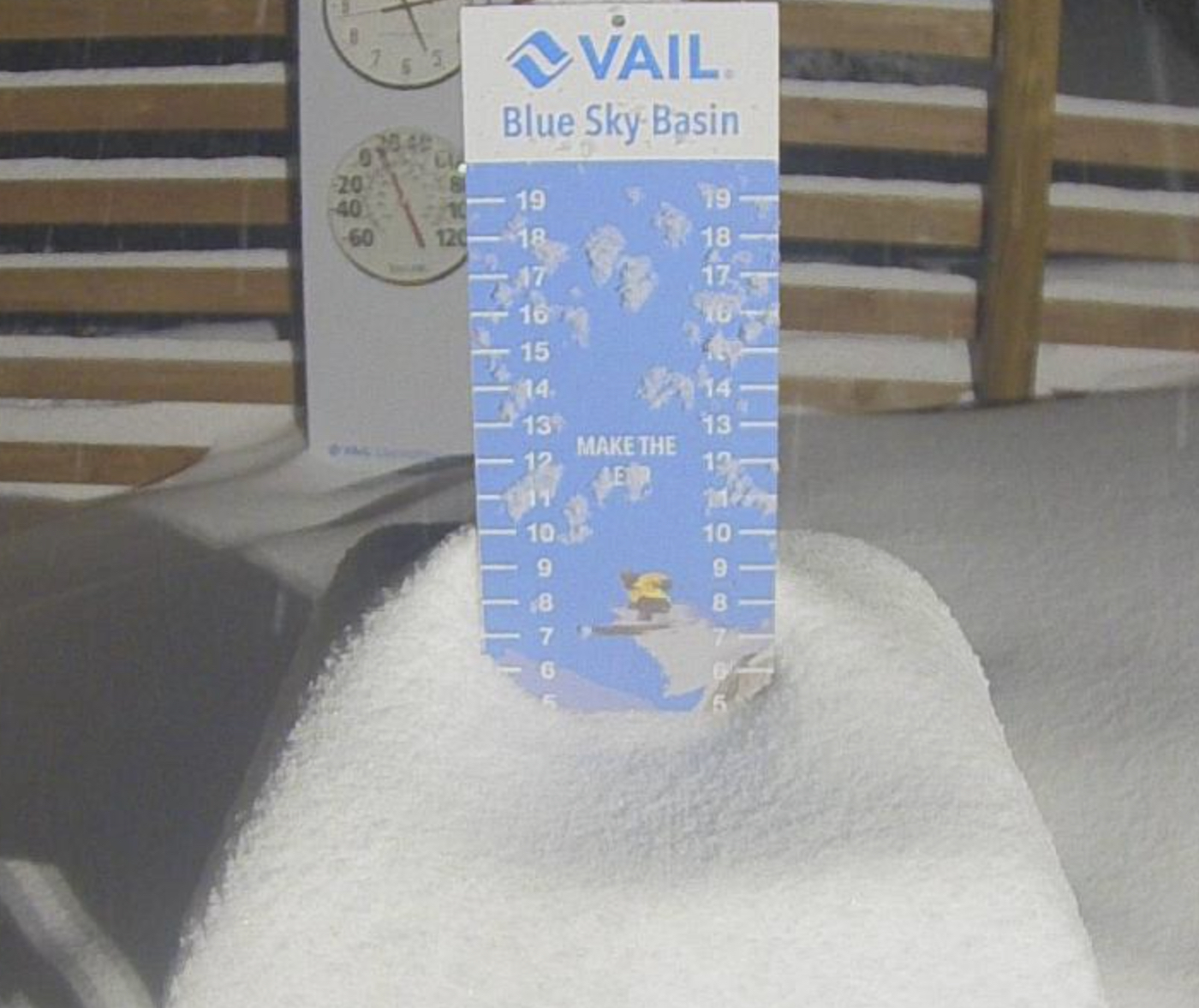


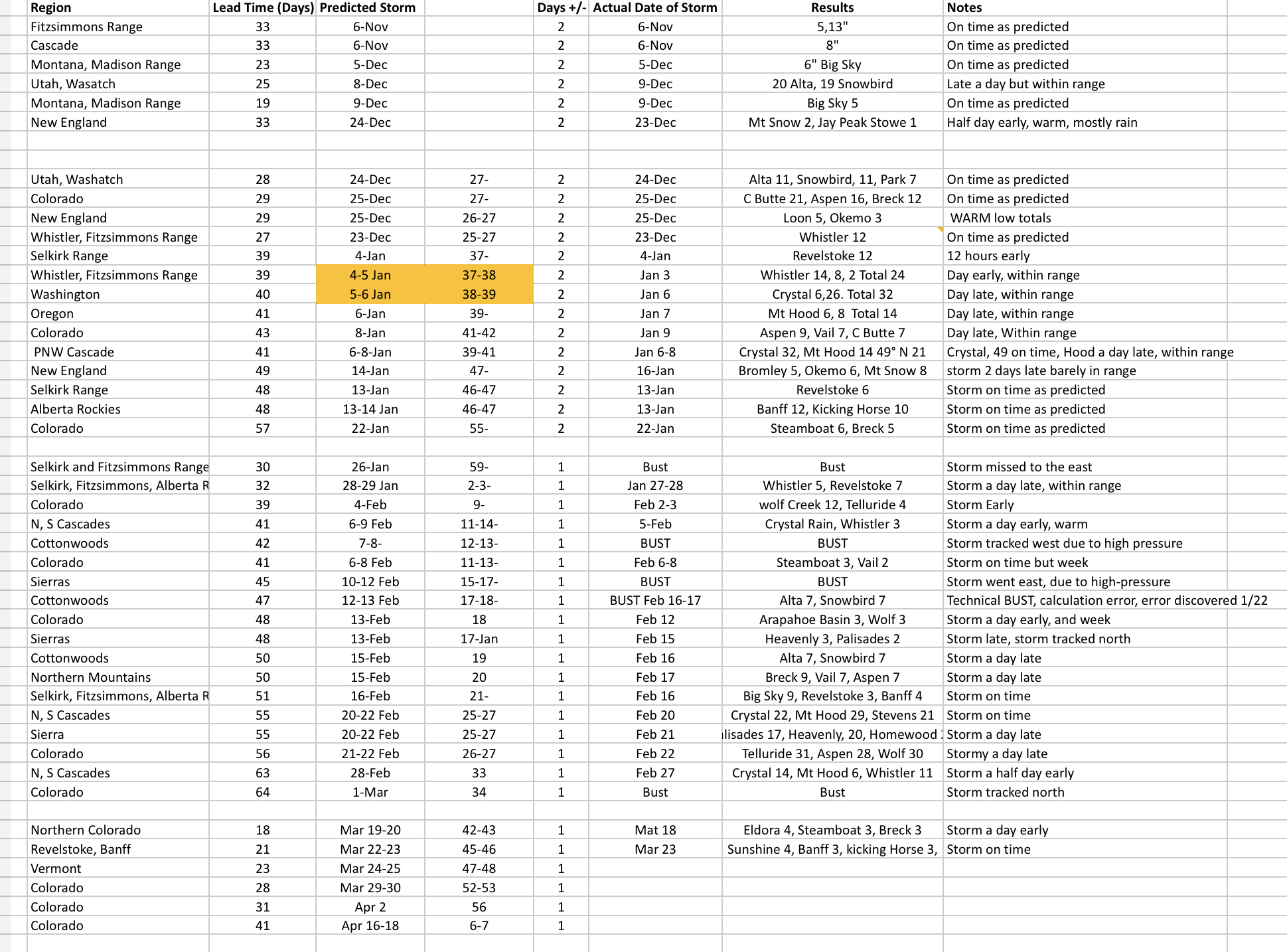
Summary
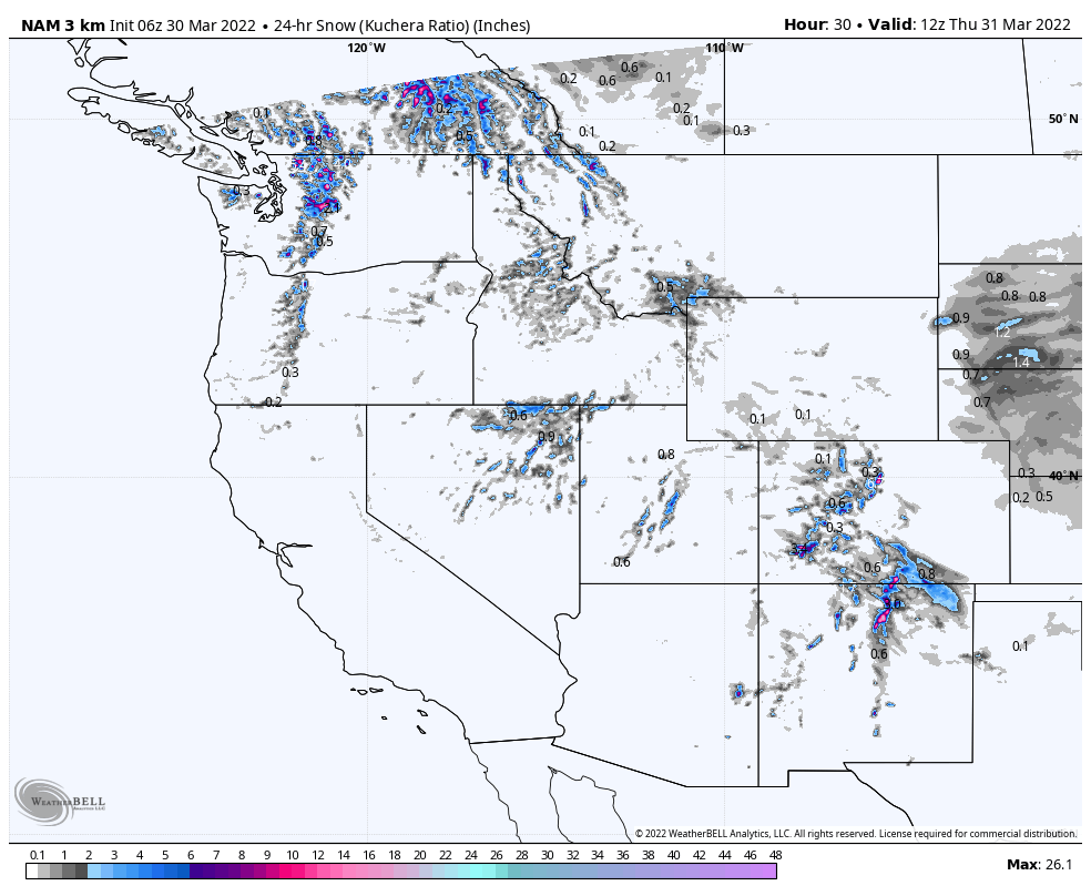
The storm came through and delivered about what we expected. It will linger in the southern ranges today before exiting this afternoon. The next system is a fast mover and will arrive Thursday for Wyoming, Utah and Colorado. It is not a big system, by any means, a nice top-off for most mountains. I mentioned Wyoming because it looks like the Tetons (Jackson Hole) will get a nice shot before the storm gets to Colorado.
Pattern Discussion
We are about to wrap up March and have 12 days remaining of the Northern Pattern. The transition storm, between patterns, is showing up on the GFS (282-330 hours out) but it does not have the proper solution, yet, for the track.
Once we get into April and past the transition storm on April 11 (PNW) 12-13 (Utah, Colorado), we get to the first storm of the Active West April 17-18. Keep in mind as I am talking about these storms that the first date is for the PNW, so if you are in Colorado, generally, the storm will begin a day later.
The transition storm is followed by the Trifecta, cycle days 11-16 (April 20-26). The Trifecta was squashed, last cycle, by the double-barrel High pressure off the coast and Nevada last time thru. I doubt that will happen again, but I was crushed the last time. If it comes thru like it should, it should be a huge storm to close out most resorts season. The next storm April 28-30 to close out the month. Now this storm, in Cycle 2 was the big AR event in Tahoe that had over a hundred inches in 5 days. We can dream.
Thanks for reading the blog, as always, if you have questions send me an email to Mike@FutureSnow.co or leave a comment below..

Hey Mike,
I am planning a late trip out to Colorado or Utah around April 26-30. If you had to choose between the two, what you recommend?
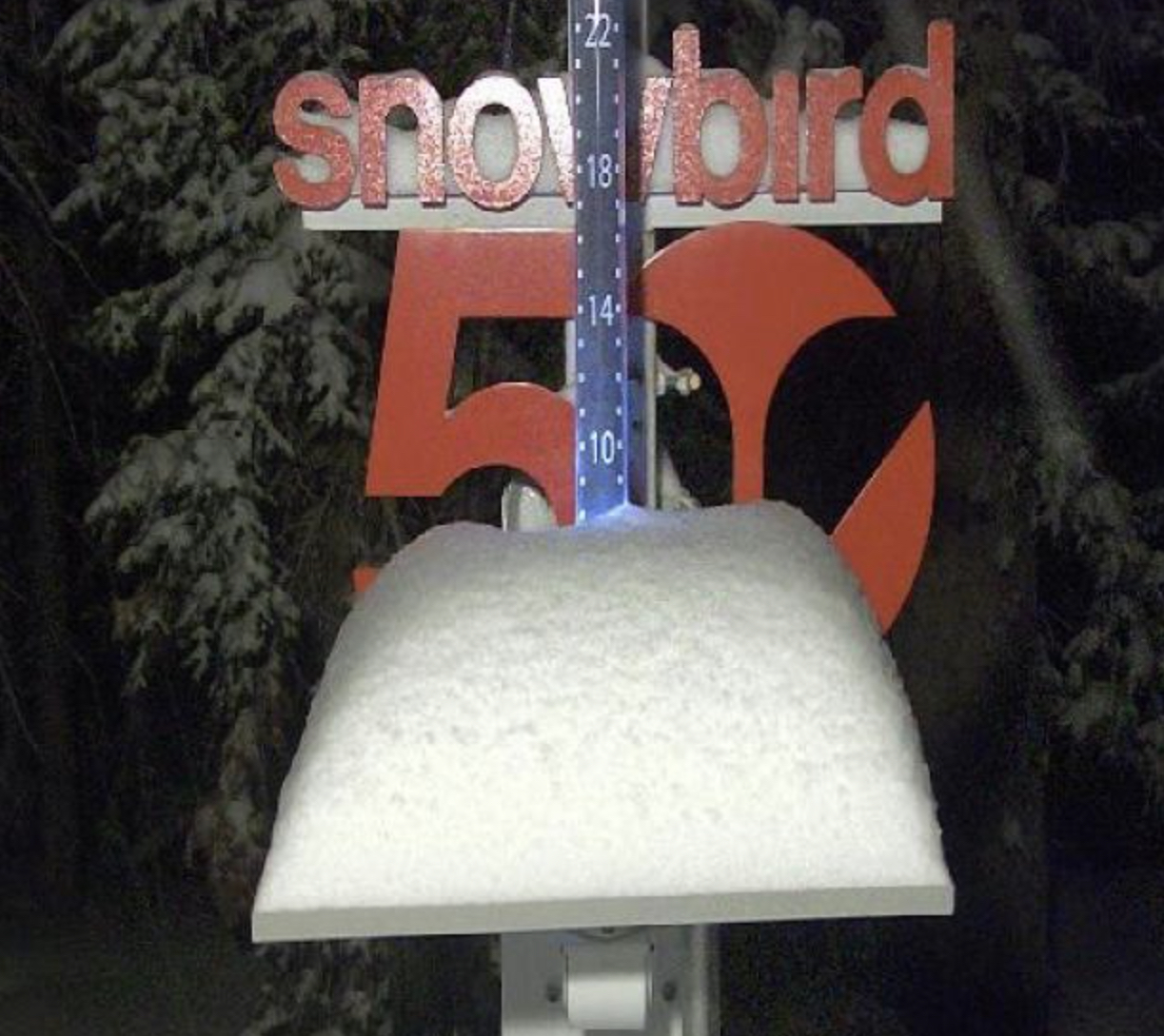
Pattern wise, the choice is Utah. In all three cycles days 19-20 (April 29-30)had good systems. This last cycle (3)as well, but started a day early on day 18. Alta’s projected closing date is April 24 and Snowbird is May 1.
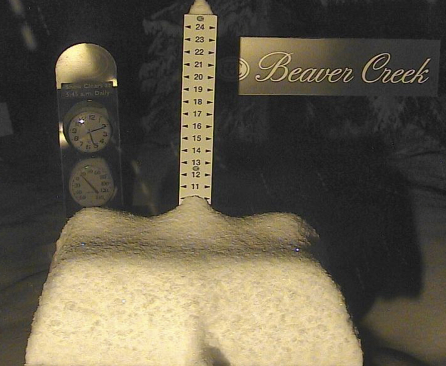
For CO, Cycle 1 was weak (day 19), cycle 2 missed to the north and this last cycle was good with most resorts receiving 10+. Vail Resorts extended its season to May 1, however those mountains, with the exception of Breckenridge are lower elevations. Arapahoe Basin would be the “go to” for a CO trip.
Good luck, one of my best powder days ever was around that time of year.