Posted April 3, 6:55 am MT 5:55 am PT
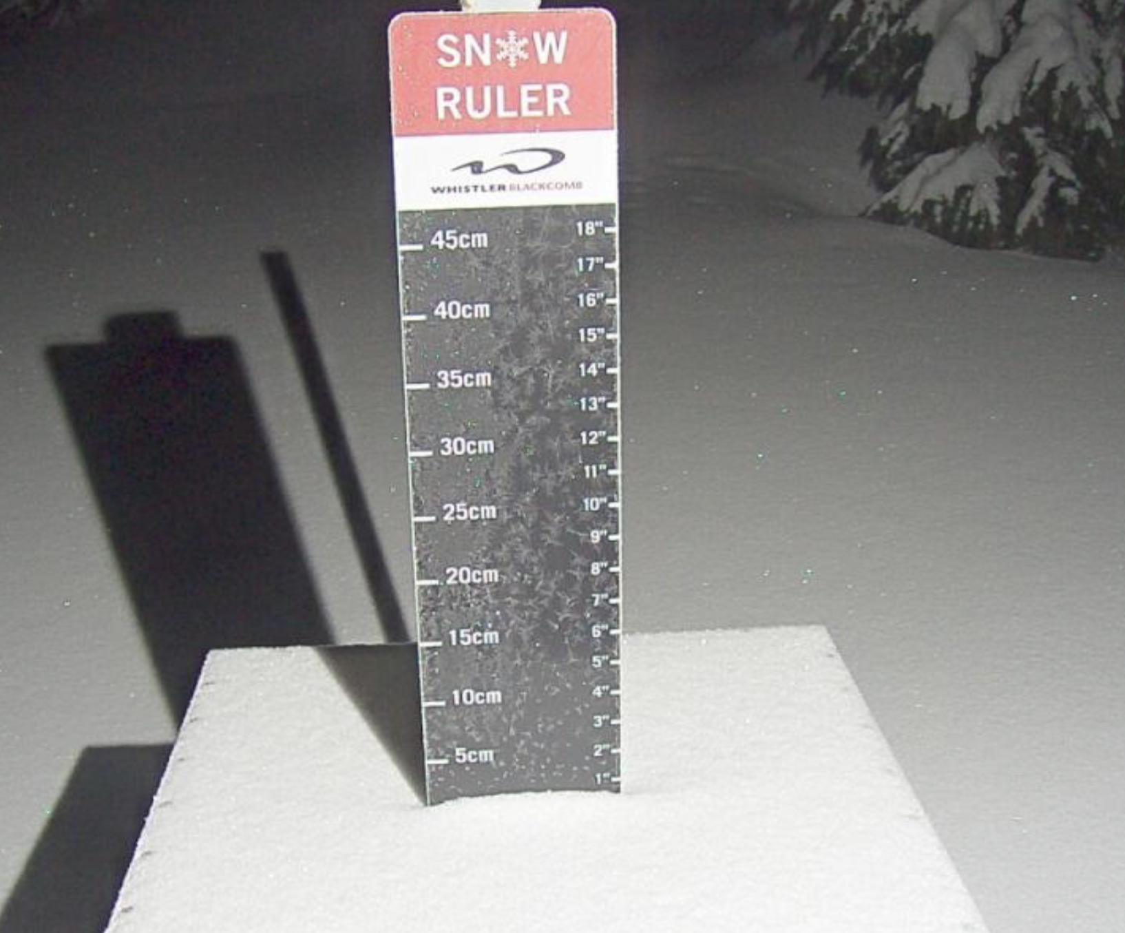
Snow Stake Cams


MSLP Surface Chart

All Snow GFS

Pattern Discussion
We are at Day 35 of Cycle 4, another storm day for the west, as we have snow stretching from the Pacific Northwest, Sierra, Wasatch and Rocky Mountains (later today).
Looking at the chart below, these are the resorts we track and how storms systems align. Orange is Utah and yellow is Colorado (not shown Canada, Tahoe, PNW, Idaho, Montana and Wyoming). We track a sampling of all western states and provinces for our algorithm.
Utah resorts (orange) have had bigger storms this season, and that shows as the shadow boxes are wider. Each group is a cycle.

Looking at the charts, you can see that there aren’t many days where it did not snow. That is one of the reasons we are so accurate this year. Last month, Alta had at least 2 inches of snowfall on 21 of 31 days. You could guess and have a 68% chance of getting it right. In February, there were 12/28 days, a little harder, guessing would give you 42% chance.
Colorado has had a great year, not record breaking like Utah and California, but still way above average. Looking at the above chart, there is a lot of yellow boxes. Those are 10+ snowfall days. There is a similar filter for Utah, but it is covered.
You can see which storms produce the most yellow boxes through the cycles. The teleconnections help amplify or reduce snowfall amounts. Looking at the chart again for Colorado in cycle 2, the end of cycle 2 and midway through cycle 3 was amplified. We can project amplification about 3-4 weeks out. Those help us forecast the best storms for our Snow Concierge service.
Forecast
Utah

Today
Heavy snow throughout the day with the highest snow totals for the storm. Watch for road and resort closures and also the dreaded Interlodge. Temperatures will be in the low 20’s and falling throughout the day. Winds in the 5-15 mph range. Upper mountain winds in the 15-25 mph.
Tuesday
Heavy snow and calm winds continue. Temperatures will be cold, in the single digits with negative wind chills around -5.
Wednesday
The storm moves out early in the morning, as of now, before the lifts open. Temps around 20. Expect scattered snow showers to continue until 2-3 o’clock.
Colorado

 Today
Today
The Snowfall chart has been updated from yesterday to reflect the latest data.
It will be dry most of the day, as the storm is now moving in after the lifts close, for most resorts. Western resort Powderhorn gets going around 1 pm. Temperatures will be in the mid-30’s with strong winds with gusts in the 50’s, so it won’t feel warm.
Tuesday
Snow, heavy at times, with breaks in between bands. Winds not as strong, between 15-25 mph with gusts in the low 40’s–expect higher numbers along the passes. Temperatures will be in the low to mid 20’s.
Wednesday
Scattered snow showers likely throughout the day. Light winds between 10-15 mph with temperatures in the mid 20’s.
Lake Tahoe
 Today
Today
There will be a break this morning, as the next wave will roll in late morning, or early afternoon. Winds will be strong, between 20-30 mph with 40 mph gusts, at base level and between40-50 mph at ridgetop.
Tonight
Scattered snow showers likely with modest amounts expected, between 2-4 inches for resorts along the crest.
Tomorrow
Bluebird day with temps in the low 20’s with light winds between 10-15 mph at base level with gusts in the 20’s. Wind chills in the negative digits, so don’t be fooled by the light winds.
Forecasted Areas
Pacific Northwest Cascade Mountains
Crystal Mountain, Mount Hood Meadows, Timberline, 49 Degrees North, Bachelor, Mt Baker,
Lake Tahoe Sierra Mountains
Heavenly, Palisades Tahoe, Kirkwood, Dodge Ridge, Donner Ski Ranch
Utah Wasatch Mountains
Alta, Park City, Deer Valley, Brighton, Snowbird, Brian Head
Colorado Rocky Mountains
Aspen, Aspen Highlands, Snowmass, Vail, Beaver Creek, Winter Park, Keystone, Arapahoe Basin, Breckenridge, Copper Mountain, Powderhorn, Ski Cooper, Telluride, Crested Butte, Silverton, Wolf Creek, Eldora, Loveland
–
