
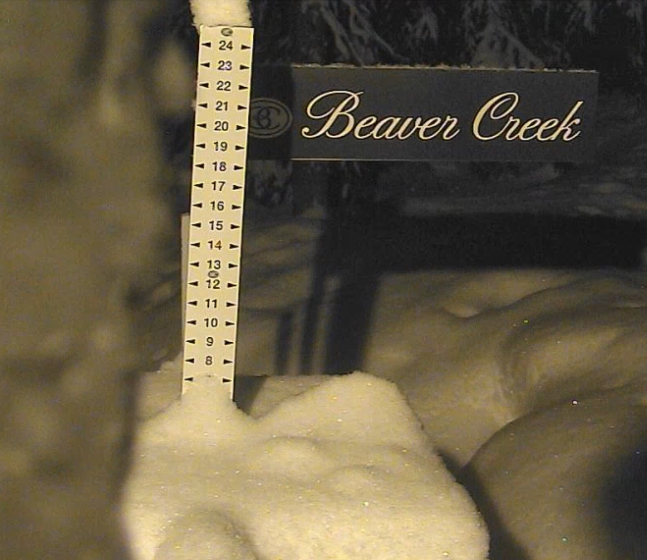

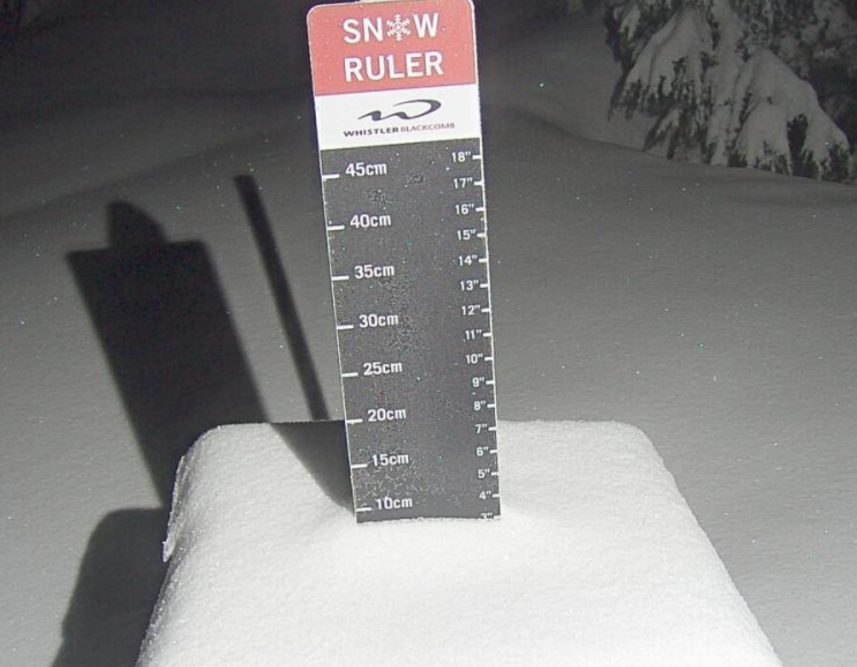
Daily Snow Stakes
 GFS Surface Chart
All Snow Version
Forecast Summary
We have a small break in the action as the Tahoe storm exits and dives south into southern Utah, before making a U-turn, taking a northeast track. South Utah resorts Brian Head looks to be a good spot for this storm with 5-10 inches late today and tonight, while the northern resorts will have small totals.
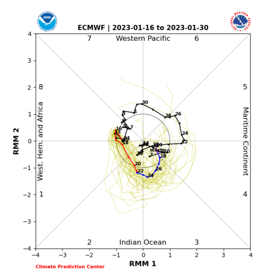
With this break in the action, we get a chance to tune our boards, add a little P-Tex, sharpen the edges. I am going to dive into a deep pattern discussion for tomorrows blog. We are going to talk about the influences on this year’s pattern. Especially the MJO (Madden Jullian Oscillation). The MJO is clearly affecting the strength of this year’s storms. We will talk about how the LRC and how the MJO relate to each other.
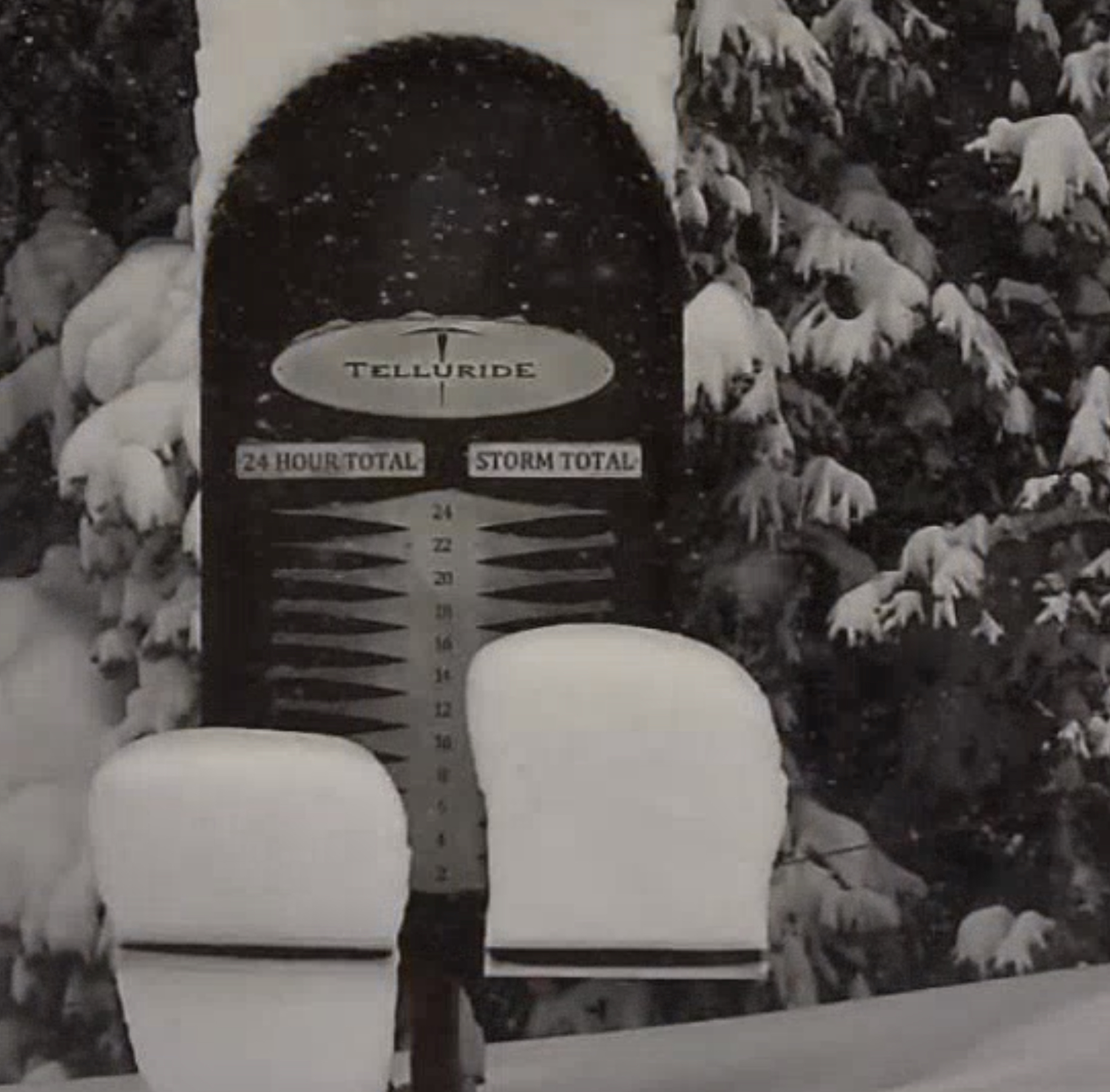
The Tahoe system moves in southern Colorado Friday afternoon, and spreads northward through Saturday. This is not a big storm, but it is a nice refresh for Wolf Creek, Telluride and Silverton, all of which have received 2-5 feet in the last 4 days. I don’t think the northern mountains will get much out of this storm, but there could be decent totals for Crested Butte and perhaps the resorts along the Divide.
Sunday morning is when the next system moves into the Pacific Northwest. This is a fast-moving storm that will take a southeast track through Utah and Colorado early Monday morning. Not a lot expected, possibly 3-5 would be likely on the high end. We’ll see how this shakes out.
Tahoe
Today
Snow continues in the morning and will exit around 10 am. Temperatures will be in the upper teens to lower 20’s with strong winds, 25-30, early and becoming moderate, 15-20 after the storm exits.
Snow totals from yesterday

Utah
Scattered snow showers this morning with little to no accumulation. Cold temperatures with windchill’s in the single digits.
Colorado
A break in the action until Friday’s storm moves in. It will be a beautiful day with temperatures in the upper 20s and light winds.
Long-Range Forecast Predictions thru March
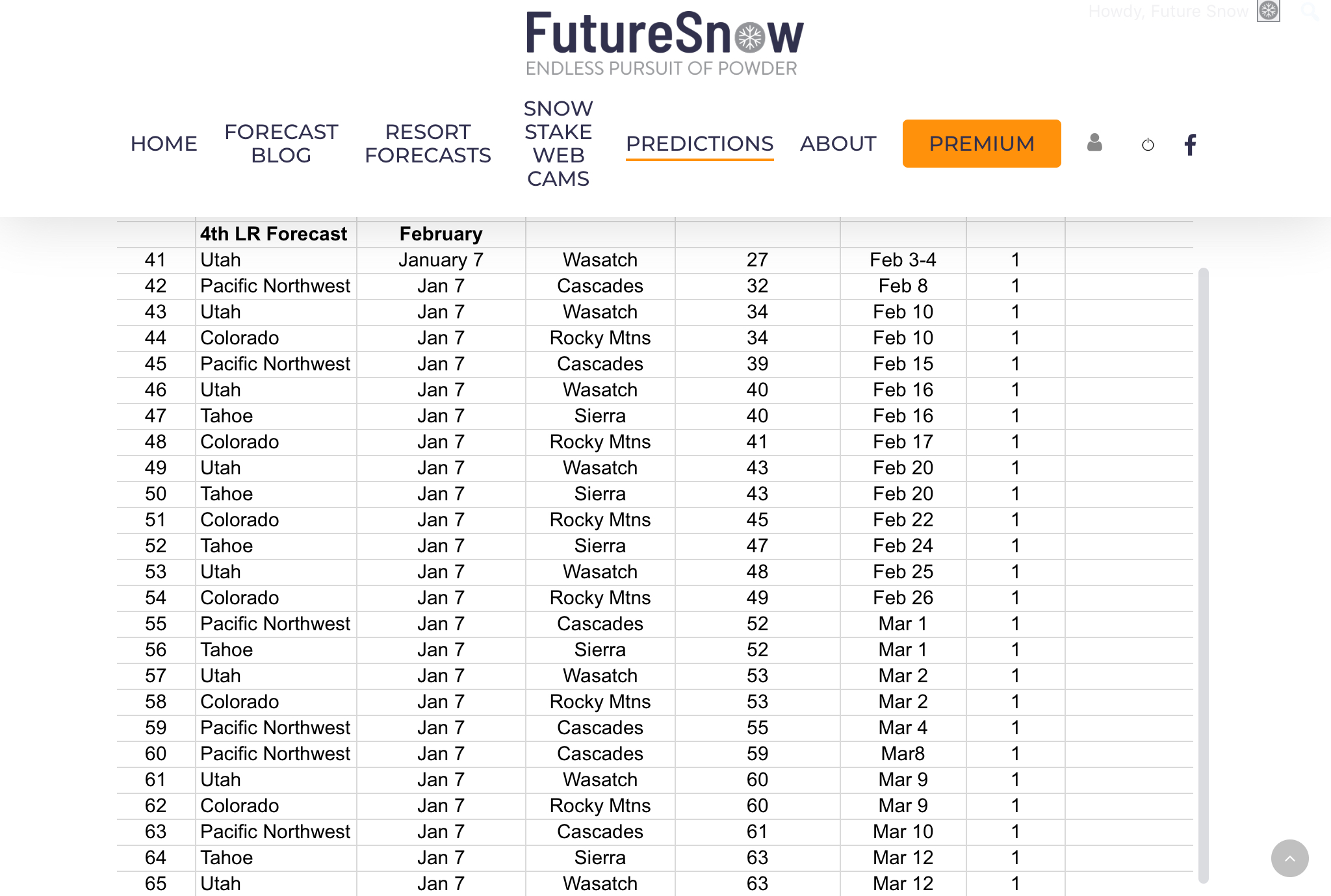 We have our long-range forecast out thru March, there have been a lot of emails regarding the long-range, and I thank you for your patience. Every year, it is very challenging to put all of this together.
We are getting better and better at figuring out the cycle, what the various teleconnections are, and how likely they are to affect the pattern. It’s a lot of calculating, analyzing charts, and waiting.
It is also very rewarding once you figure out what is going on. Sometimes you think you have it all figured out, only to realize you were wrong. It takes all of the aforementioned process and much more, that I won’t bore you with, but there it is.
As always you can email me with other resorts and areas you are interested in. We can forecast for the entire northern hemisphere, so if you are interested in the east coast resorts, Europe, or Canada, just let us know and we will give you a detailed forecast.
Forecasted Areas
Pacific Northwest Cascade Mountains
Crystal Mountain, Mount Hood Meadows, Timberline, 49 Degrees North, Bachelor, Mt Baker,
Lake Tahoe Sierra Mountains
Heavenly, Palisades Tahoe, Kirkwood, Dodge Ridge, Donner Ski Ranch
Utah Wasatch Mountains
Alta, Park City, Deer Valley, Brighton, Snowbird, Brian Head
Colorado Rocky Mountains
Aspen, Aspen Highlands, Snowmass, Vail, Beaver Creek, Winter Park, Keystone, Arapahoe Basin, Breckenridge, Copper Mountain, Powderhorn, Ski Cooper, Telluride, Crested Butte, Silverton, Wolf Creek, Eldora, Loveland
