 Summary
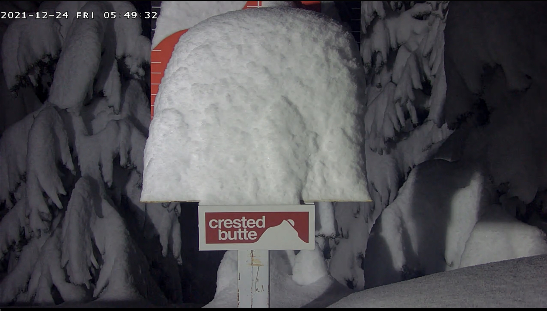
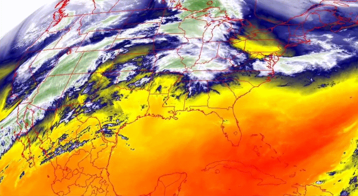
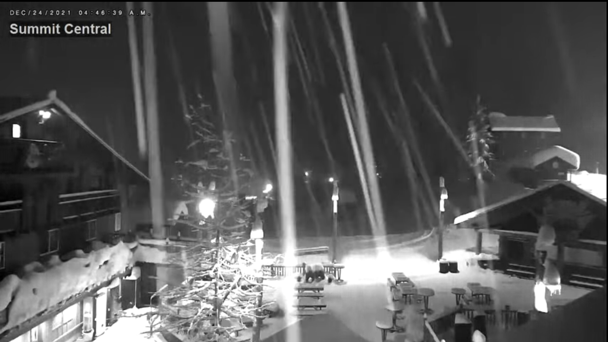
Some surprising totals this morning, CB (Crested Butte) checking in with a full board. Winter storm warnings from the Cascades to the Sierras, Wasatch, and Rocky Mountains. The moisture is pouring into Utah and Colorado, as the storm intensifies.
Get out there today, get your pow! If you missed this one, it will be back February 21st!
Some Stoke from Around the West

Today
Heavy snow in the Pacific Northwest Cascades, Sierras, Wasatch and Rocky Mountains. Double digit totals in the southern Cascades. High single digits in Tahoe, Utah and Colorado.
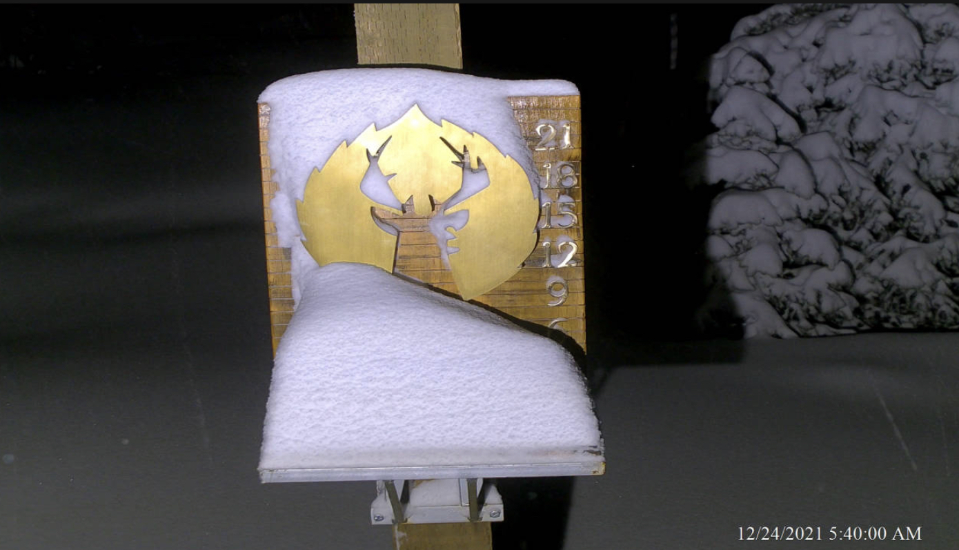
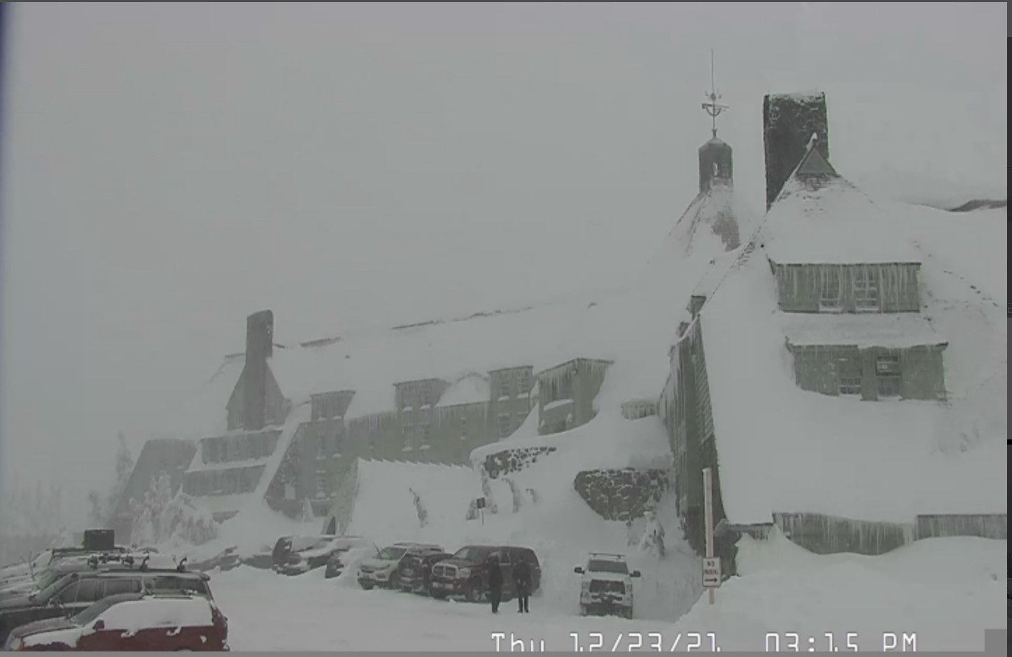
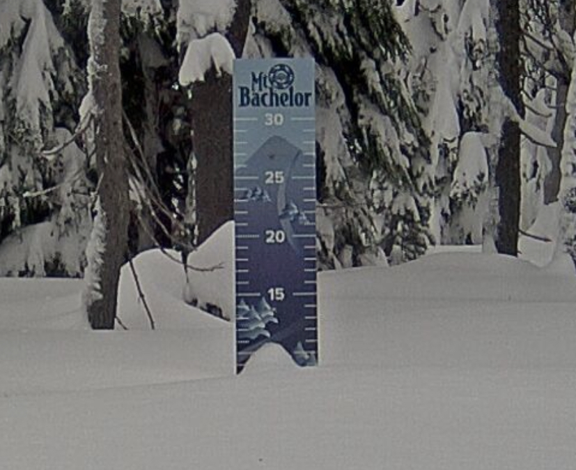
‘Christmas Pow
PNW
Southern Cascades: Heavy snow and windy. Temps in the mid-20s dropping to the teens overnight. Sat and Sun will be great days, but you will need to dress warm due to the wind. 12-16 expected.
Northern Cascades: Cold and windy with another 2-6 expected.
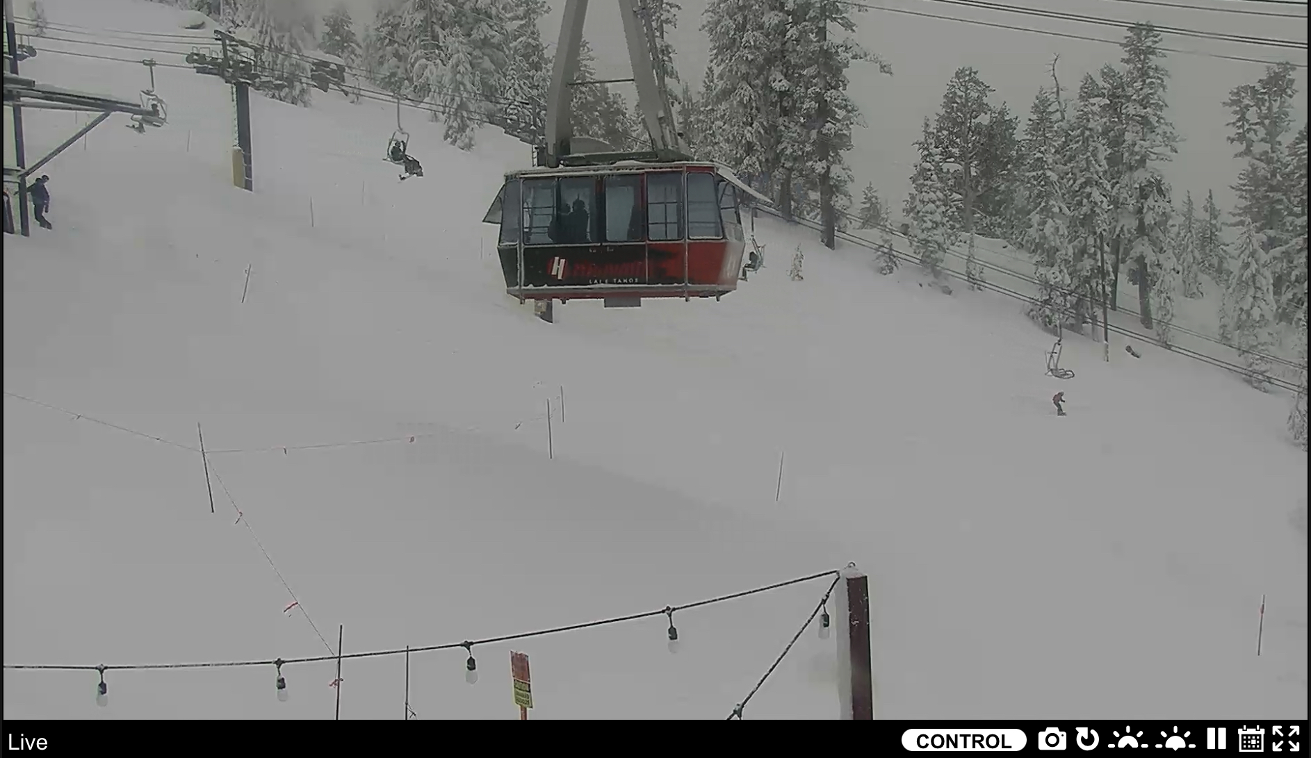
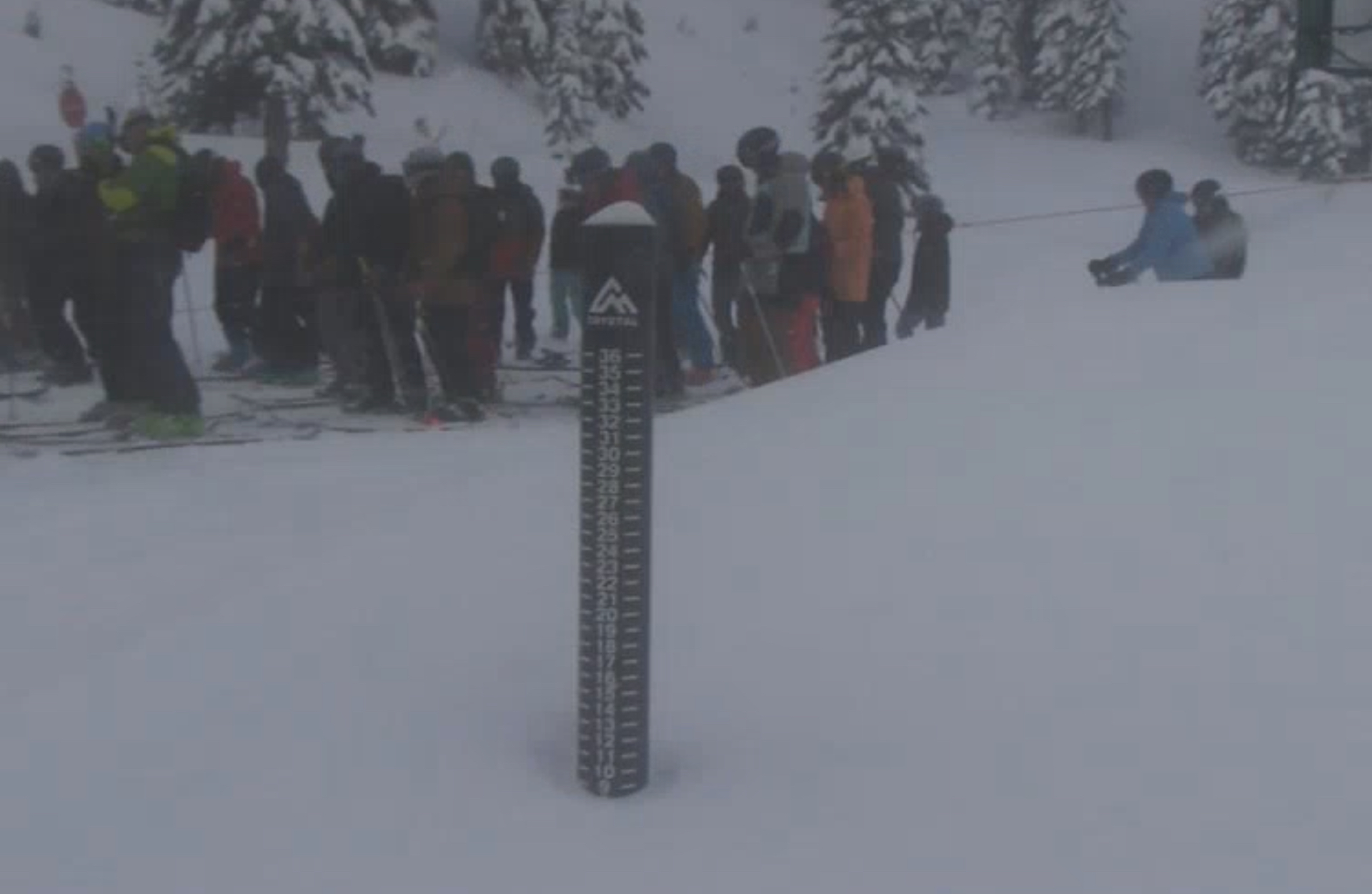
Tahoe
Heavy snow, cold and windy. Temps in the mid-20s dropping to the teens overnight. 1-2 feet.
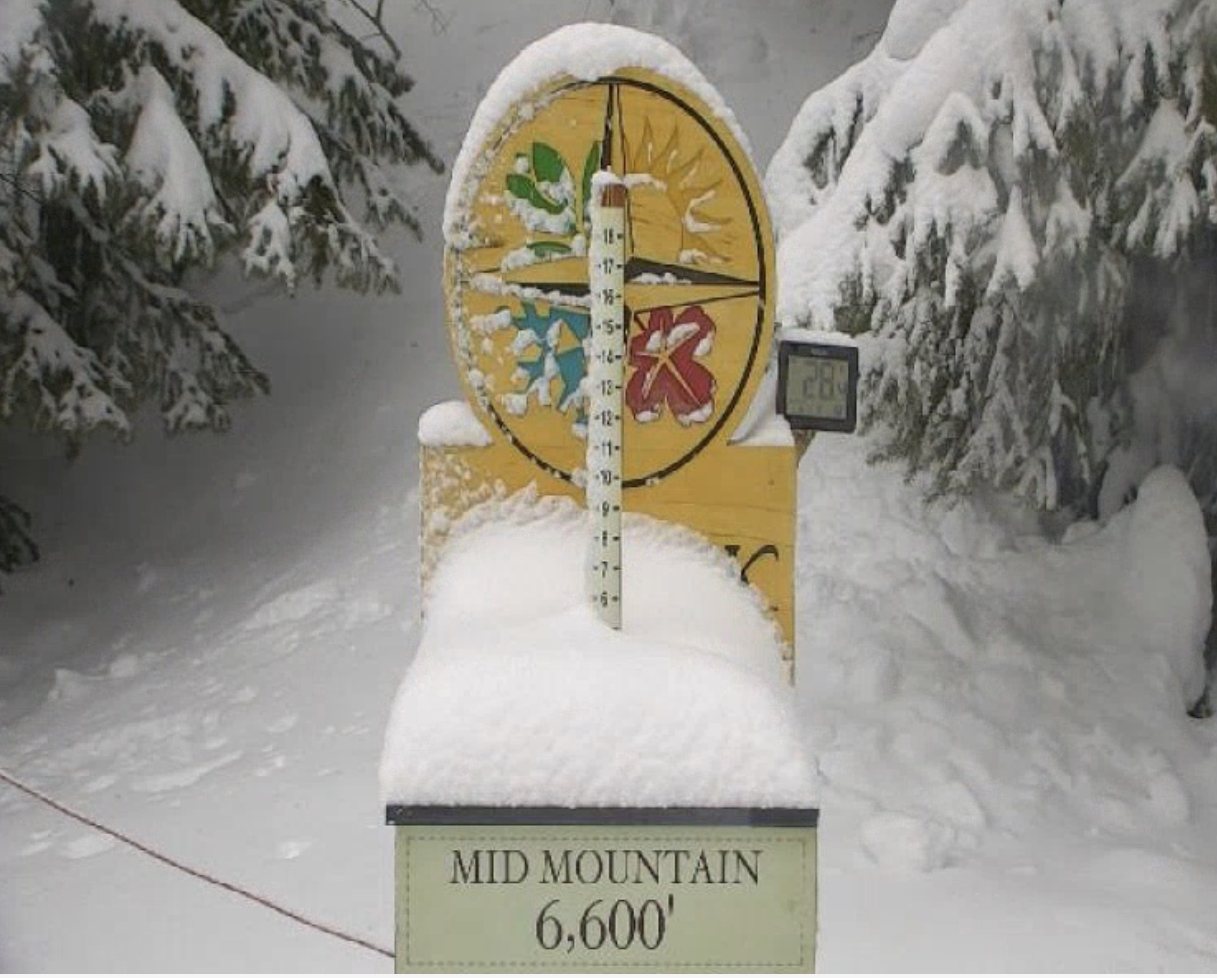
Utah
Cold and windy with another 3-5 to top off. More snow Christmas night with -6-10 expected.
Colorado
Cold and windy with light snow throughout the day. Expect another 1-3 of fluff to top it off. The system moves out late in the day while the next wave moves in on Monday.
Sunday
PNW
Next wave moves into the Southern Cascades as the low is projected to move across northern Washington. Double digits possible again!
Northern Cascades get jipped this time, but if the Low tracks a little farther North, then it could be game on. I’ll keep an eye on this one.
Tahoe
The show continues with another 6-12. Continued cold and high winds.
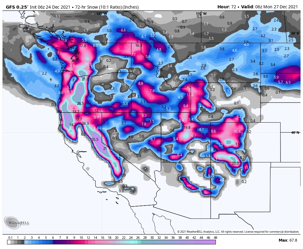
Below are the 3-day totals–doesn’t get much better than this.
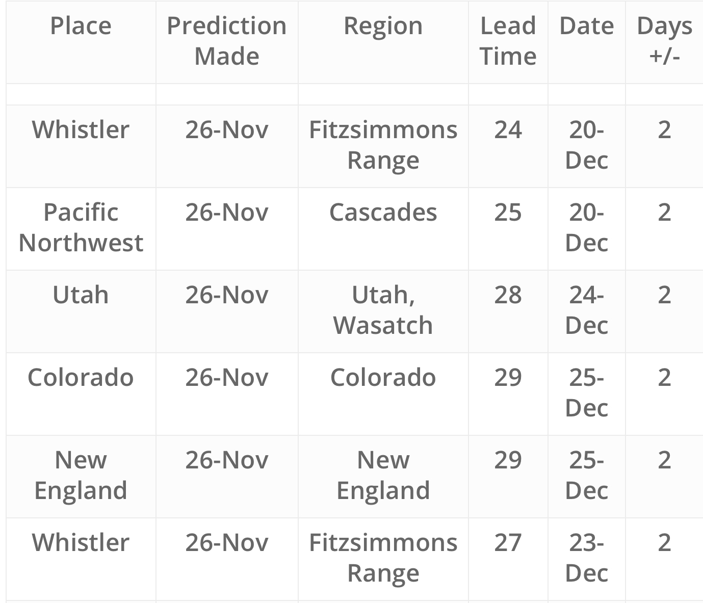
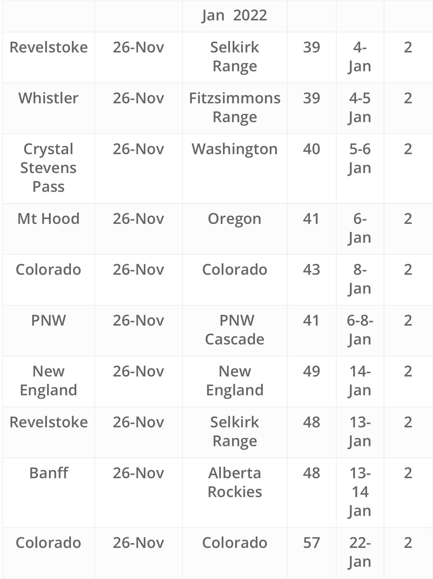
Future Snow Predicted Storms